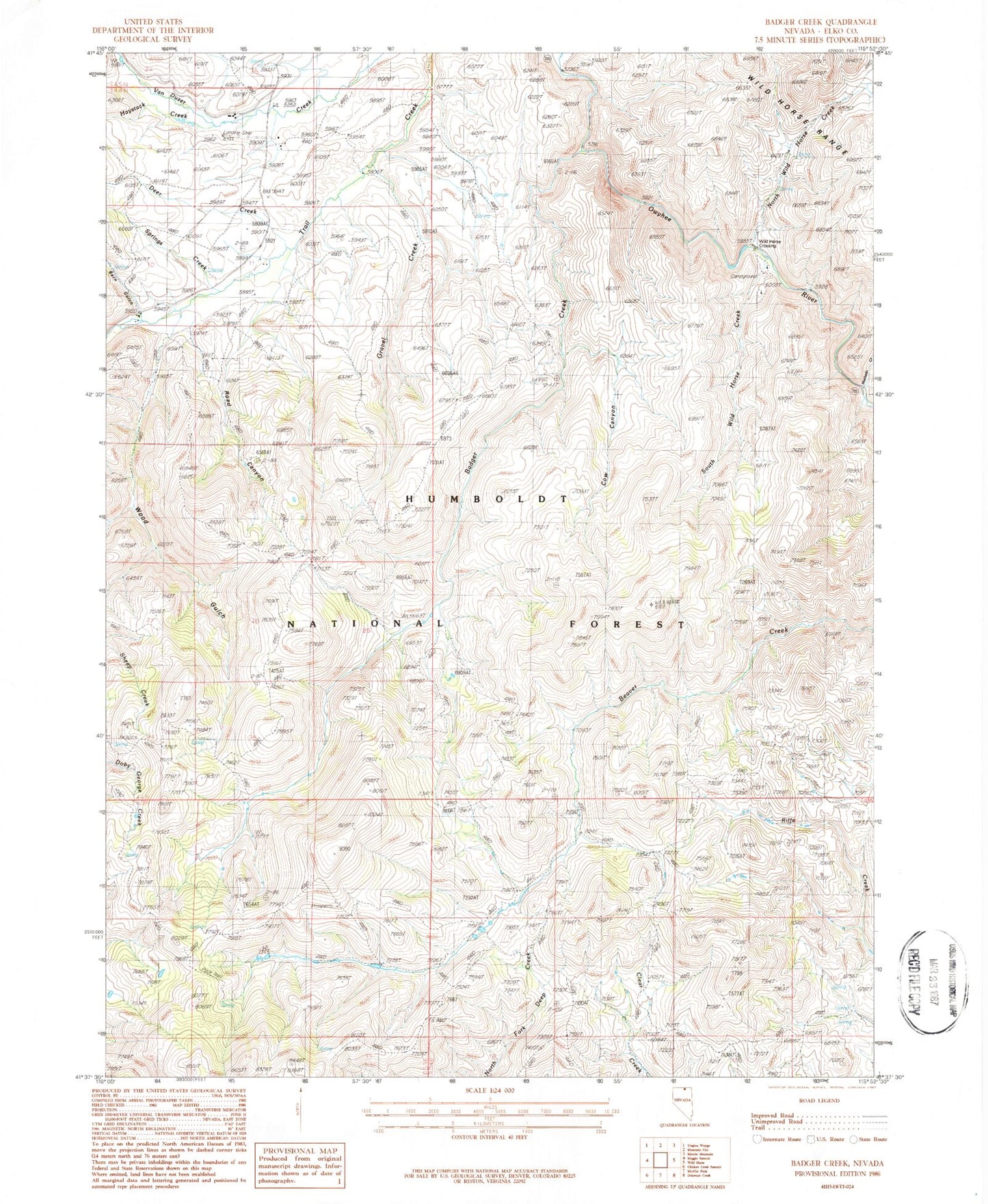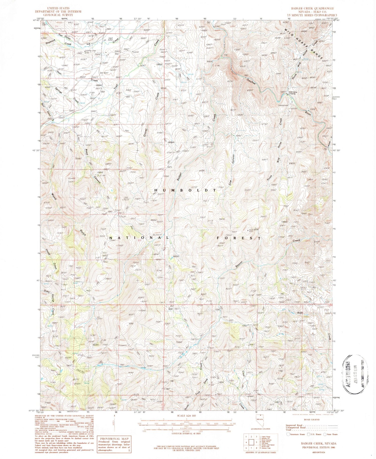
MyTopo
Classic USGS Badger Creek Nevada 7.5'x7.5' Topo Map
Couldn't load pickup availability
Historical USGS topographic quad map of Badger Creek in the state of Nevada. Map scale is 1:24000. Print size is approximately 24" x 27"
This quadrangle is in the following counties: Elko.
The map contains contour lines, roads, rivers, towns, and lakes. Printed on high-quality waterproof paper with UV fade-resistant inks, and shipped rolled.
Contains the following named places: Badger Creek, Baker Ranch, Barn Gulch, Byington Ranch, Byington Ranch Airport (historical), Cow Canyon, Deer Creek, Gravel Creek, Hansen Ranch, Haystack Creek, Machado Creek, North Wild Horse Creek, Road Canyon, South Wild Horse Creek, Springs Creek, Thompson Ranch, Wild Horse Crossing, Wild Horse Crossing Campground, Wood Gulch, Wood Gulch Creek, Wood Gulch Mine