MyTopo
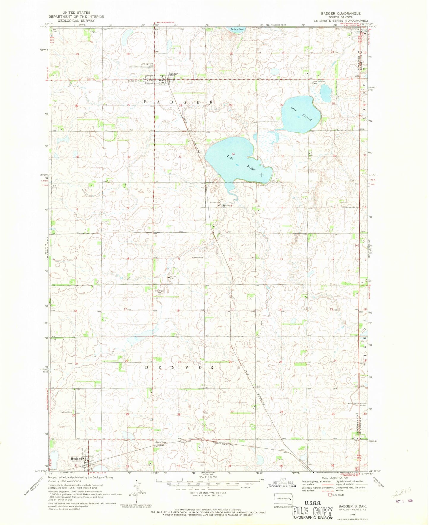
Classic USGS Badger South Dakota 7.5'x7.5' Topo Map
Couldn't load pickup availability
Historical USGS topographic quad map of Badger in the state of South Dakota. Map scale may vary for some years, but is generally around 1:24,000. Print size is approximately 24" x 27"
This quadrangle is in the following counties: Brookings, Kingsbury.
The map contains contour lines, roads, rivers, towns, and lakes. Printed on high-quality waterproof paper with UV fade-resistant inks, and shipped rolled.
Contains the following named places: Andersen Farms Airport, Arlington Municipal Airport, Badger, Badger Cemetery, Badger Post Office, Badger Volunteer Fire Department, Hetland, Hetland Cemetery, Lake Badger, Lake Thisted, Lake Thisted Cemetery, Lutheran Church, Nielsen Cemetery, Pleasant Valley, School Number 13, School Number 15, School Number 18, School Number 33, School Number 44, School Number 45, Town of Badger, Town of Hetland, Township of Badger, Township of Denver, United Cemetery, ZIP Code: 57212