MyTopo
Classic USGS Bagby Hot Springs Oregon 7.5'x7.5' Topo Map
Couldn't load pickup availability
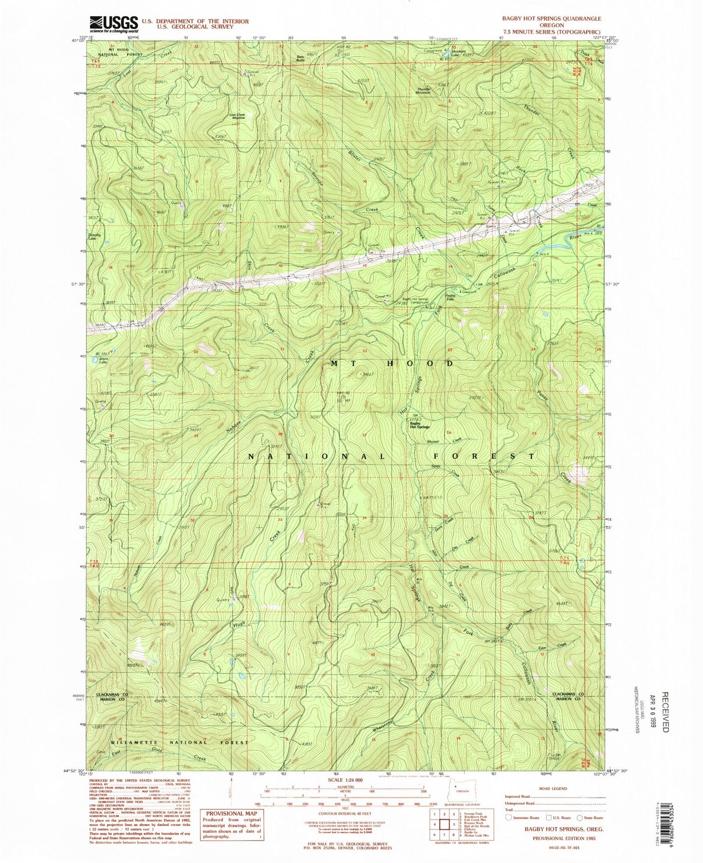
Historical USGS topographic quad map of Bagby Hot Springs in the state of Oregon. Map scale may vary for some years, but is generally around 1:24,000. Print size is approximately 24" x 27"
This quadrangle is in the following counties: Clackamas, Marion.
The map contains contour lines, roads, rivers, towns, and lakes. Printed on high-quality waterproof paper with UV fade-resistant inks, and shipped rolled.
Contains the following named places: Alice Creek, Bagby Hot Springs, Bagby Hot Springs Guard Station, Bagby Hot Springs Recreation Site, Bagby Natural Research Area, Baty Butte, Baty Silver King Trail, Betty Creek, Blister Creek, Doris Creek, East Mountain Trail, Hugh Creek, Hugh Creek Quarry, Hughs Horse Gravel Pit, Joyce Lake, Lost Creek Meadow, Molalla Trail, Nohorn Creek, Nohorn Trail, Opal Creek Wilderness, Ora Creek, Pal Creek, Pansy Creek, Peggy Creek, Pegleg Falls, Pegleg Falls Recreation Site, Perry Creek, Pin Creek, Rock Creek, Shower Creek, Skin Creek, Skookum Lake, Skookum Lake Campground, South Fork Mountain Trail, Spray Creek, Stroupe Creek, Stroupe Creek Quarry, Thunder Mountain, Whetstone Creek, Whetstone Trail