MyTopo
Classic USGS Bagley Iowa 7.5'x7.5' Topo Map
Couldn't load pickup availability
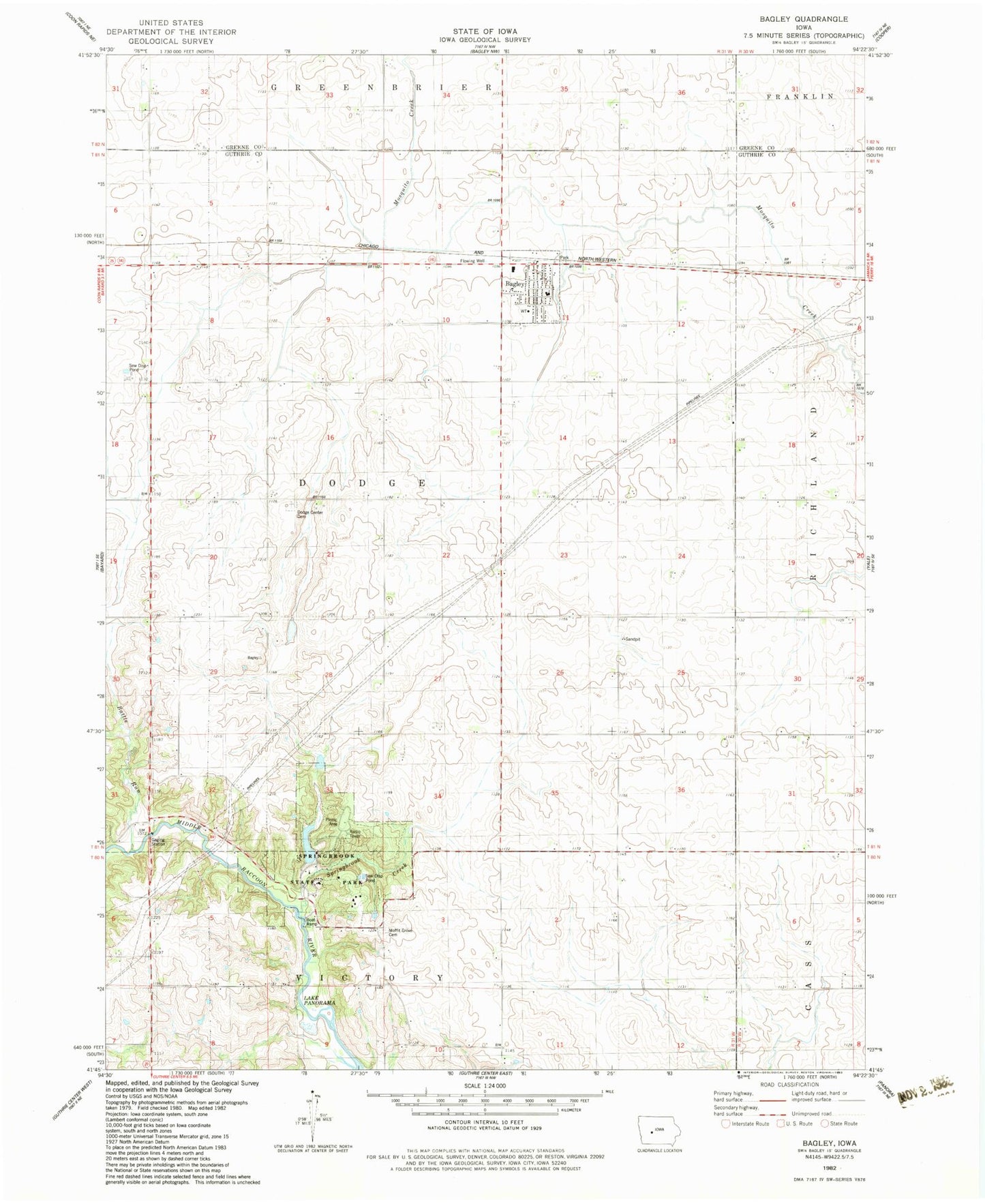
Historical USGS topographic quad map of Bagley in the state of Iowa. Map scale may vary for some years, but is generally around 1:24,000. Print size is approximately 24" x 27"
This quadrangle is in the following counties: Greene, Guthrie.
The map contains contour lines, roads, rivers, towns, and lakes. Printed on high-quality waterproof paper with UV fade-resistant inks, and shipped rolled.
Contains the following named places: Bagley, Bagley City Hall, Bagley Post Office, Bagley Public Library, Bagley Volunteer Fire Department, Battle Run, Church of Christ, City of Bagley, Dodge Center Cemetery, Moffit Grove Cemetery, Moffit Post Office, Moffits Grove, Springbrook Creek, Springbrook State Park, Swan Lake, Township of Dodge, United Methodist Church, West Central Cooperative Elevator, ZIP Code: 50026