
MyTopo
Classic USGS Bakeoven Creek Nevada 7.5'x7.5' Topo Map
Couldn't load pickup availability
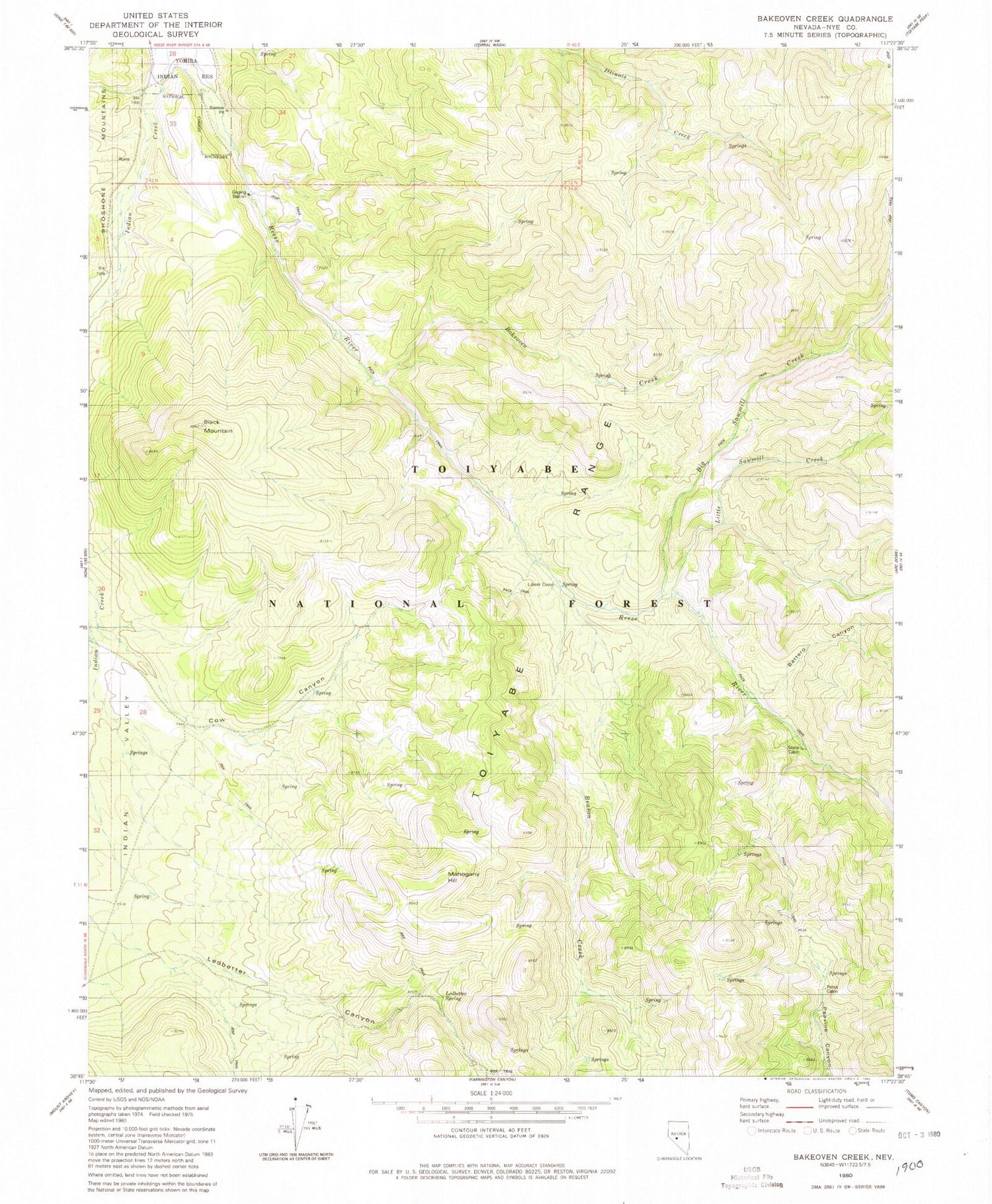
Historical USGS topographic quad map of Bakeoven Creek in the state of Nevada. Typical map scale is 1:24,000, but may vary for certain years, if available. Print size: 24" x 27"
This quadrangle is in the following counties: Nye.
The map contains contour lines, roads, rivers, towns, and lakes. Printed on high-quality waterproof paper with UV fade-resistant inks, and shipped rolled.
Contains the following named places: Warners Ranch, Bakeoven Creek, Battero Canyon, Beason Creek, Big Sawmill Creek, Black Mountain, Cow Canyon, Indian Creek, Indian Valley, Ledbetter Canyon, Ledbetter Spring, Little Sawmill Creek, Mahogany Hill, Petes Cabin, Stone Cabin, Lower Corral, Cow Canyon Trailhead, Ledbetter Administrative Site, Stone Cabin Administrative Site


