MyTopo
Classic USGS Baker Nevada 7.5'x7.5' Topo Map
Regular price
$16.95
Regular price
Sale price
$16.95
Unit price
per
Couldn't load pickup availability
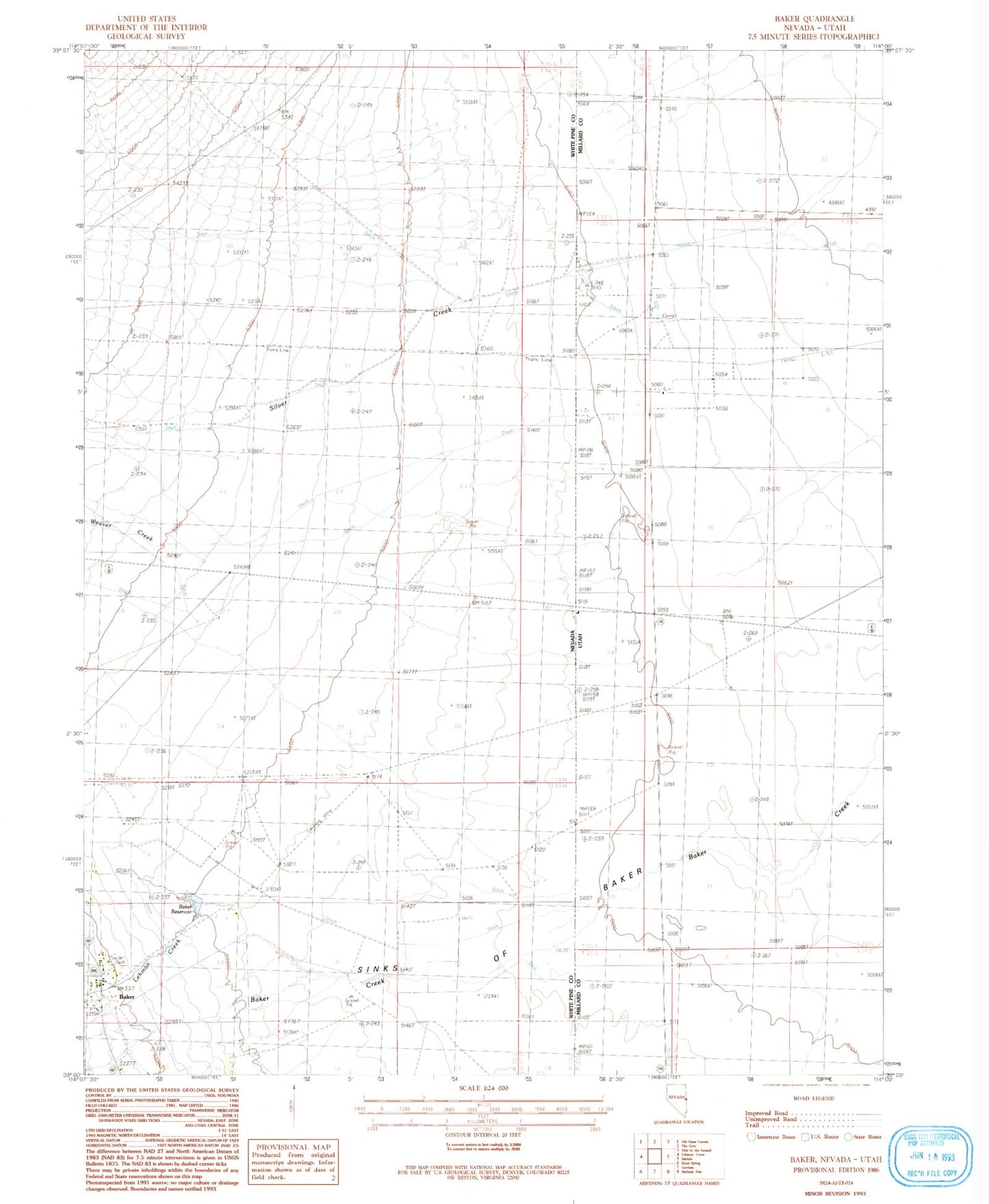
Historical USGS topographic quad map of Baker in the state of Nevada. Map scale may vary for some years, but is generally around 1:24,000. Print size is approximately 24" x 27"
This quadrangle is in the following counties: Millard, White Pine.
The map contains contour lines, roads, rivers, towns, and lakes. Printed on high-quality waterproof paper with UV fade-resistant inks, and shipped rolled.
Contains the following named places: Baker, Baker Census Designated Place, Baker Elementary School, Baker Post Office, Baker Ranches Airport, Baker Reservoir, Border Line Farm Airport, Great Basin National Park Fire Station, Lehman Creek, Silver Creek, Sinks of Baker, Weaver Creek