MyTopo
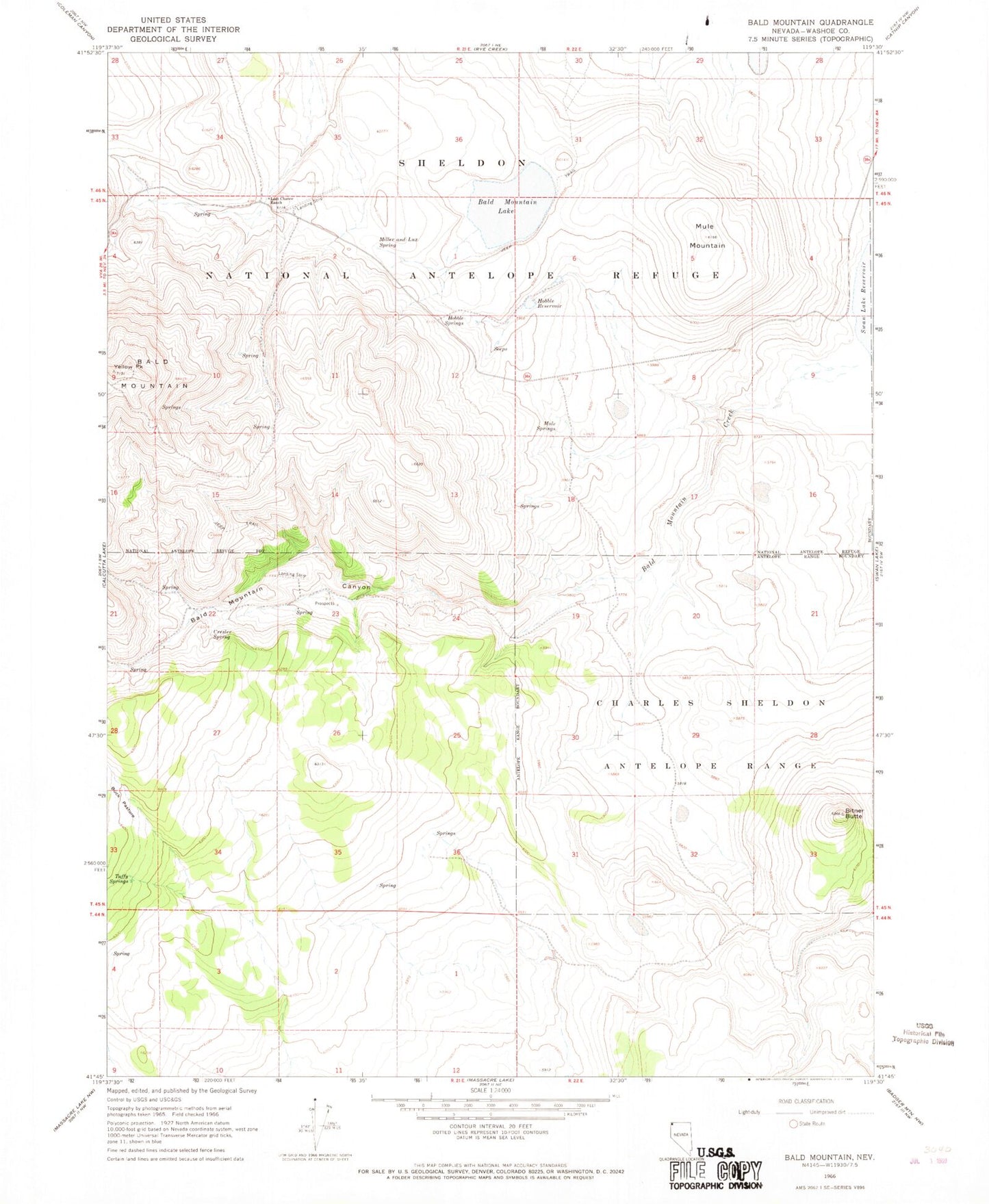
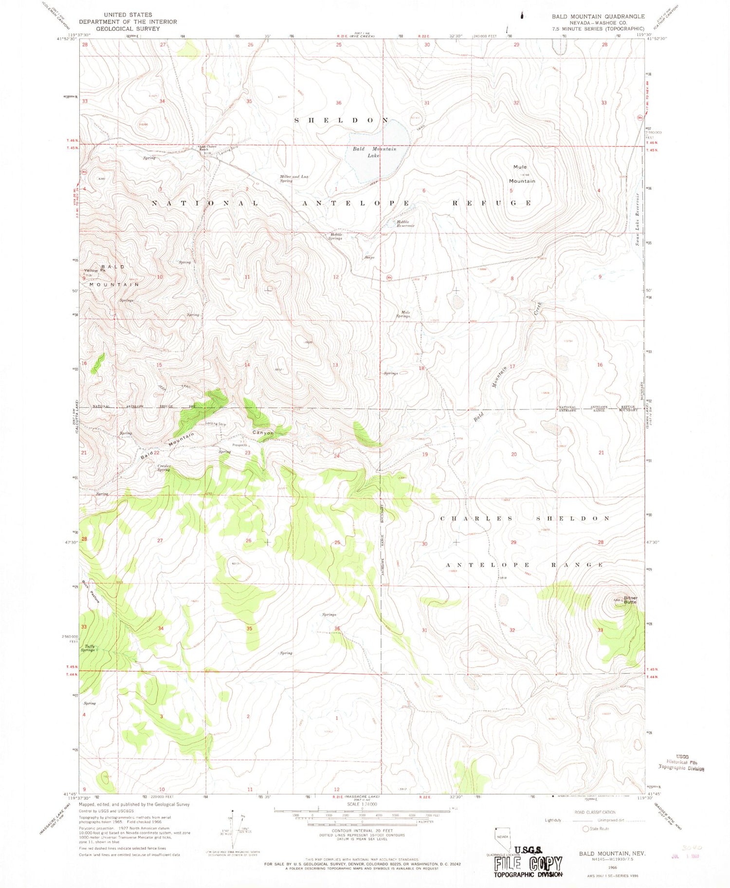
Classic USGS Bald Mountain Nevada 7.5'x7.5' Topo Map
Couldn't load pickup availability
Historical USGS topographic quad map of Bald Mountain in the state of Nevada. Map scale may vary for some years, but is generally around 1:24,000. Print size is approximately 24" x 27"
This quadrangle is in the following counties: Washoe.
The map contains contour lines, roads, rivers, towns, and lakes. Printed on high-quality waterproof paper with UV fade-resistant inks, and shipped rolled.
Contains the following named places: Antelope Mine, Bald Mountain, Bald Mountain Canyon, Bald Mountain Creek, Bald Mountain Lake, Bitner Butte, Cresler Spring, Hobble Reservoir, Hobble Springs, Last Chance Ranch, Lemmy Spring, Lone Pine Mining District, Miller and Lux Spring, Mule Mountain, Mule Springs, Sheldon Refuge Landing Strip, Tuffy Springs, Yellow Peak