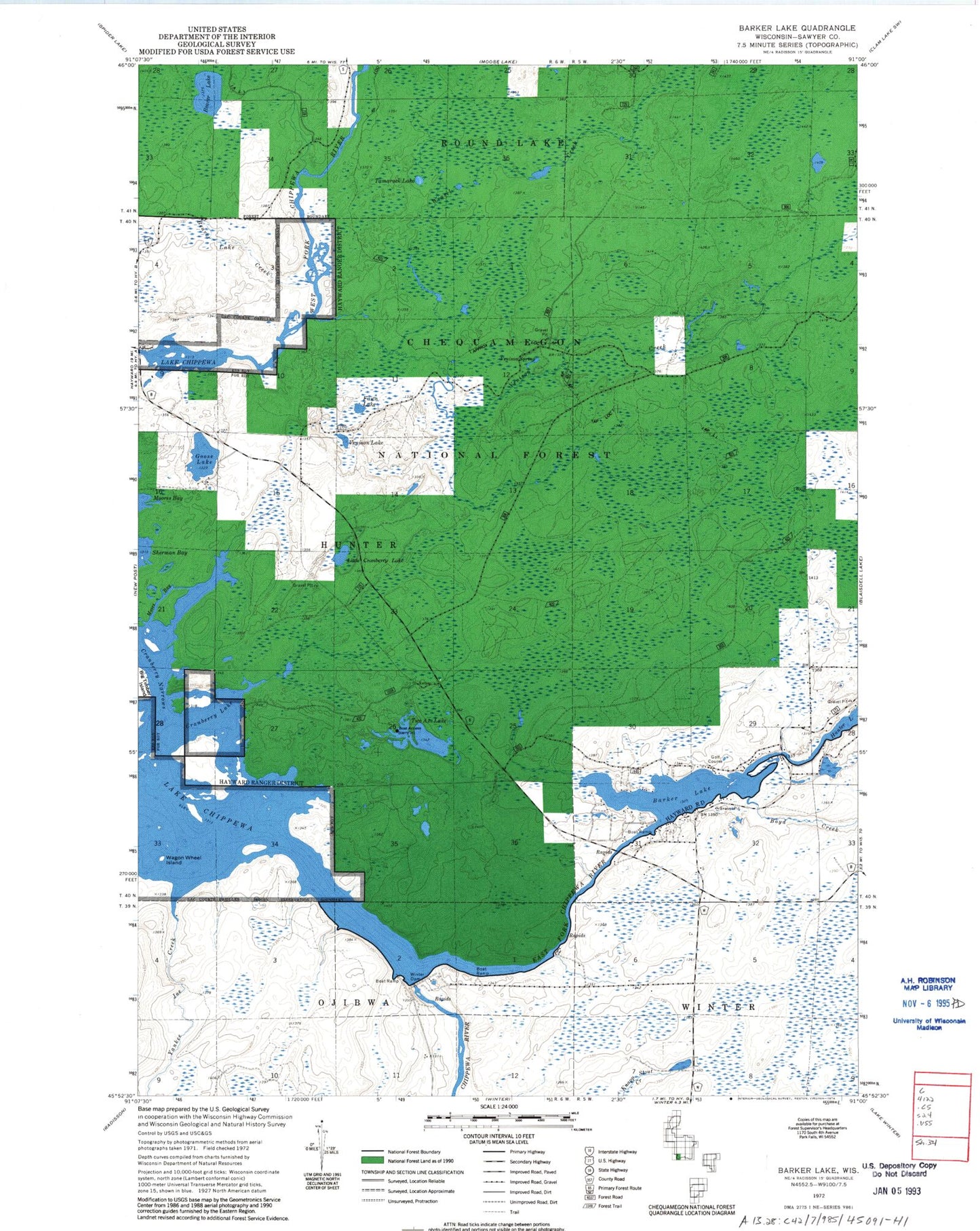
MyTopo
Classic USGS Barker Lake Wisconsin 7.5'x7.5' Topo Map
Regular price
$16.95
Regular price
Sale price
$16.95
Unit price
per
Couldn't load pickup availability
Historical USGS topographic quad map of Barker Lake in the state of Wisconsin. Map scale is 1:24000. Print size is approximately 24" x 27"
This quadrangle is in the following counties: Sawyer.
The map contains contour lines, roads, rivers, towns, and lakes. Printed on high-quality waterproof paper with UV fade-resistant inks, and shipped rolled.
Contains the following named places: Barker Lake, Beaver Lake, Beaver Lake Creek, Boyd Creek, Chippewa Lake, Cranberry Lake, Cranberry Narrows, East Fork Chippewa River, Fawn Lake, Goose Lake, Little Cranberry Lake, Moses Bay, Tamarack Lake, Two Axe Lake, Venison Creek, Venison Lake, Venison Spring, Wagon Wheel Island, Weasel Creek, Winter Dam, Yankee Joe Creek