MyTopo
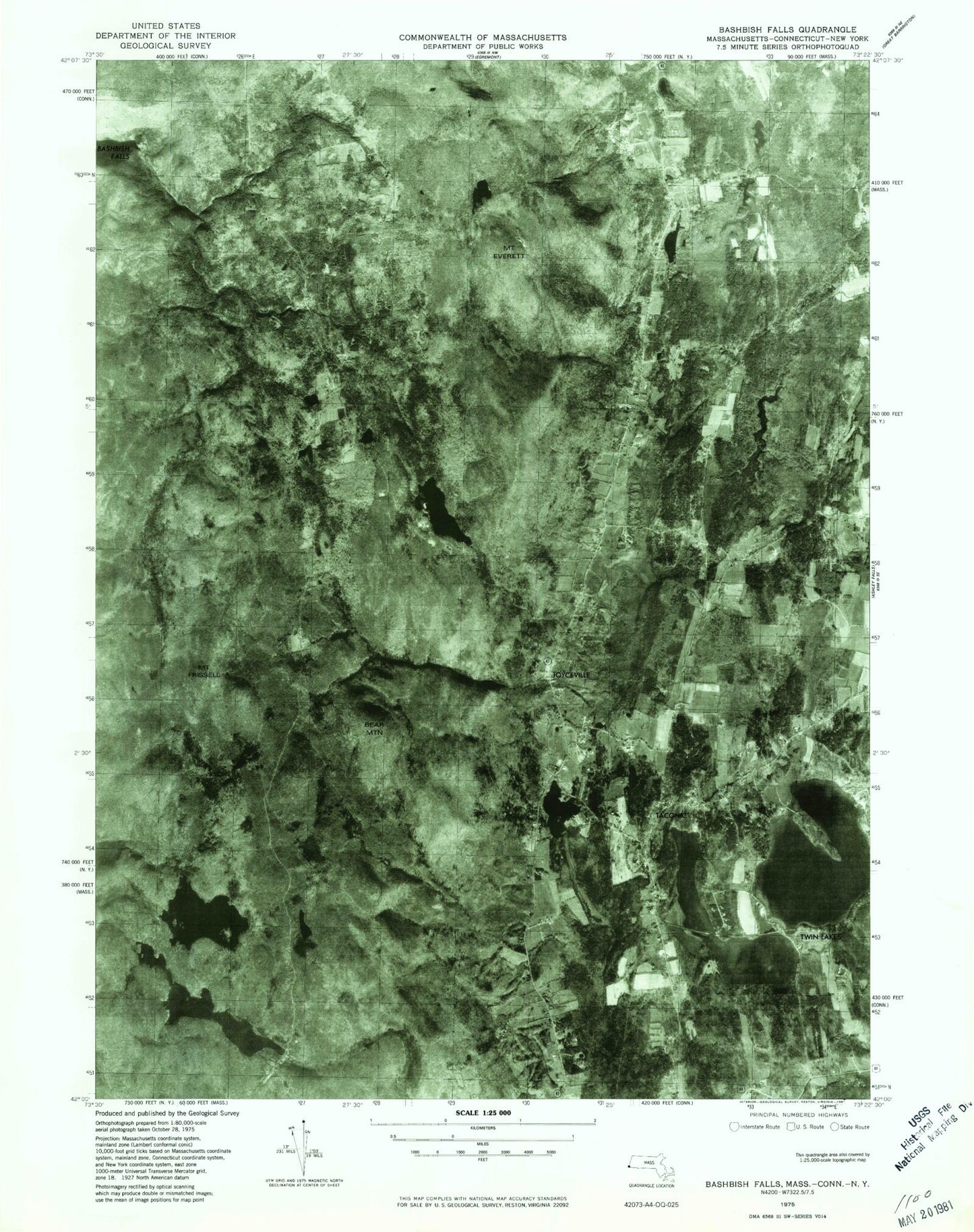
USGS Classic Bash Bish Falls Massachusetts 7.5'x7.5' Topo Map
Couldn't load pickup availability
Historical USGS topographic quad map of Bash Bish Fallsin the states of Massachusetts, Connecticut, New York. Scale: 1:24000. Print size: 24" x 27"
This quadrangle is in the following counties: Berkshire, Columbia, Dutchess, Litchfield.
The map contains contour lines, roads, rivers, towns, lakes, and grids including latitude / longitude and UTM / MGRS. Printed on high-quality waterproof paper with UV fade-resistant inks.
Contains the following named places: Sages Ravine, Berkshire School, Union Church, Churchill Cemetery, Mount Everett Regional School, Northrop Trail, Indian Trail, Elbow Trail, Mount Washington Lookout Tower, Plantain Pond Dam, Garret Dam, Lee Pond Brook Reservoir, Berkshire Trout Pond, Guilder Pond Dam, Combes Pond, Bashbish Falls State Forest (historical), Alander, Ashley Hill Brook, Mount Ashley, Bash Bish Falls, Bash Bish Mountain, Bear Rock Falls, Bear Rock Stream, Becker Pond, Black Rock, Cedar Mountain, City Brook, Combes Dam, Dry Brook, Mount Ethel, Fawn Lake, Mount Frissell, Guilder Brook, Guilder Hollow, Guilder Pond, Hunts Pond, Lee Pond, Lee Pond Brook, New Guinea Swamp, Plantain Pond, Race Brook, Race Brook Falls, Mount Race, Sages Ravine, Spurr Lake, Trout Pond Dam, Mount Undine, Wright Brook, Yagar Pond, Mount Plantain, Town of Mount Washington, Alander Post Office (historical), Mount Everett, WBSL-FM (Sheffield), Babes Hill, Bald Peak, Ball Brook, Bear Mountain, Bingham Pond, Brassi Brook, Cave Hill, Decker Brook, Gridley Mountain, Hammertown, Lions Head, Monument Brook, Mount Riga State Park, Riga Lake, Round Mountain, Sages Ravine, South Pond, Taconic, Twin Lakes, Twin Lakes, Washinee Lake, Washining Lake, Fisher Pond, Joyceville, Mount Frissell, Sages Ravine, South Pond Dam, South Pond, Twin Lakes Dam, Twin Lakes, Riga Lake Dam, Fisher Pond Dam, Edith Scoville Memorial Sanctuary, Institute of World Affairs, All Saints of America Orthodox Christian Church, Monument Brook, Riga Lake, South Pond, Bash Bish Mountain, Brace Mountain, Grass Pond