MyTopo
Classic USGS Basin Mountain Maine 7.5'x7.5' Topo Map
Couldn't load pickup availability
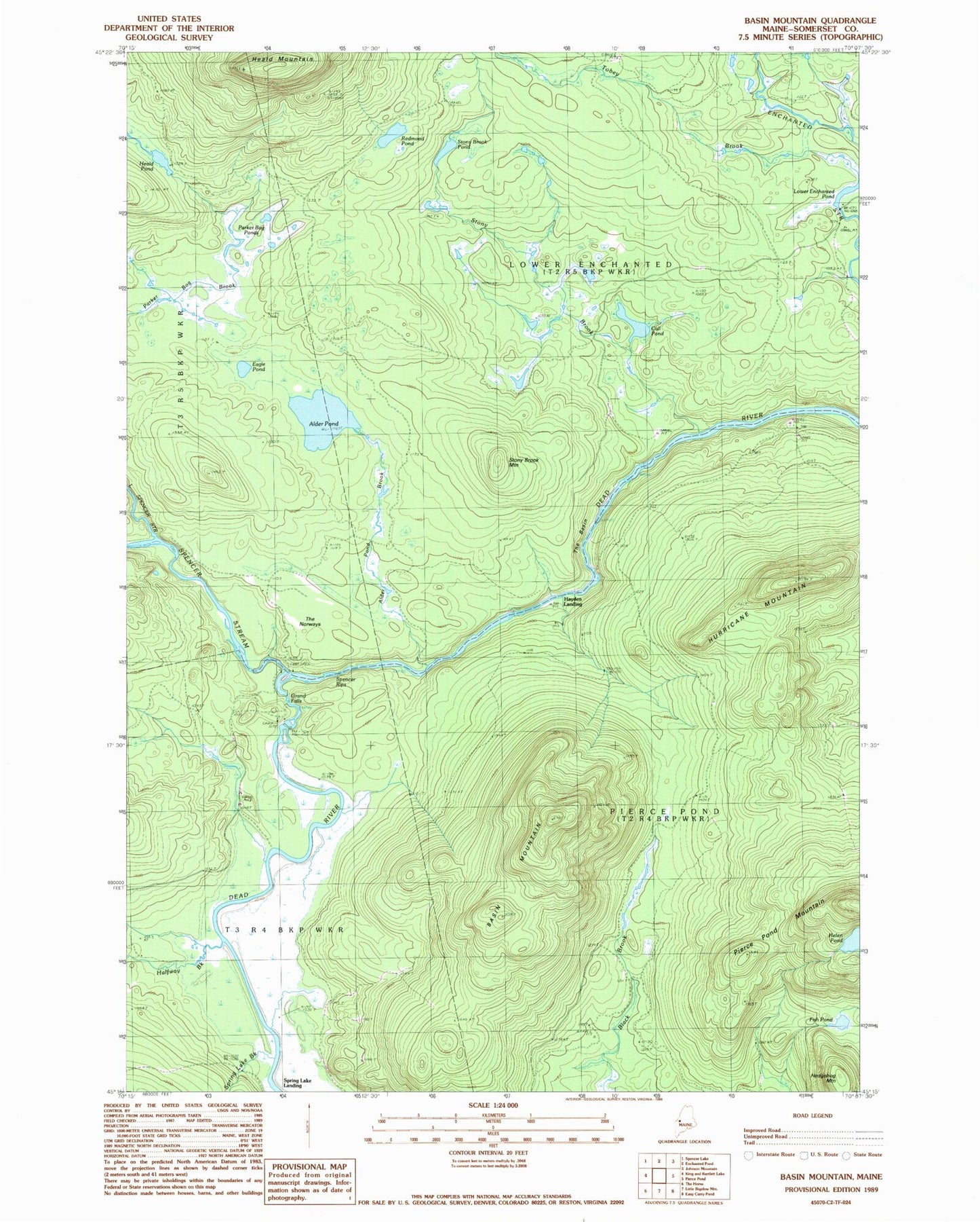
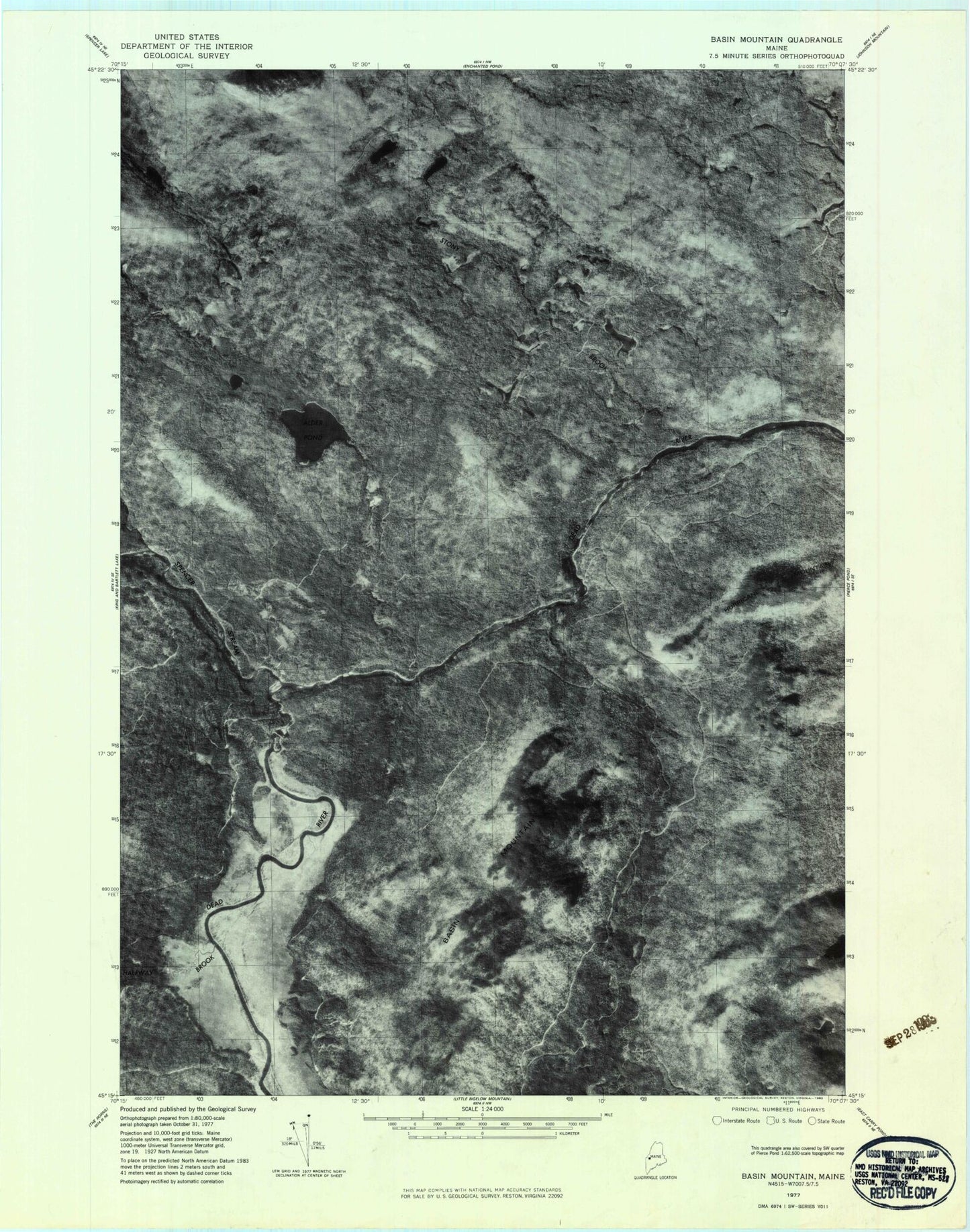
Historical USGS topographic quad map of Basin Mountain in the state of Maine. Typical map scale is 1:24,000, but may vary for certain years, if available. Print size: 24" x 27"
This quadrangle is in the following counties: Somerset.
The map contains contour lines, roads, rivers, towns, and lakes. Printed on high-quality waterproof paper with UV fade-resistant inks, and shipped rolled.
Contains the following named places: Alder Pond, Alder Pond Brook, Basin Mountain, Call Pond, Dead River Dam (historical), Eagle Pond, Fish Pond, Grand Falls, Halfway Brook, Heald Mountain, Heald Pond, Hedgehog Mountain, Helen Pond, Hurricane Mountain, Little Spencer Stream, Parker Bog Ponds, Redmond Pond, Spencer Rips, Spencer Stream, Spring Lake Brook, Stony Brook, Stony Brook Camp, Stony Brook Mountain, Stony Brook Pond, The Basin, The Norways, Tobey Brook, Hayden Landing, Spring Lake Landing, Lower Enchanted Township, Pierce Pond Township