MyTopo
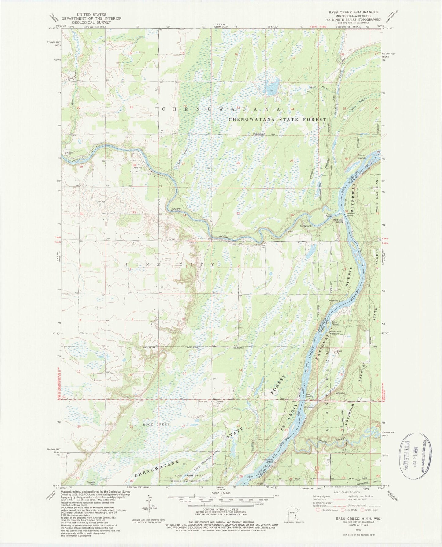
Classic USGS Bass Creek Minnesota 7.5'x7.5' Topo Map
Couldn't load pickup availability
Historical USGS topographic quad map of Bass Creek in the states of Minnesota, Wisconsin. Typical map scale is 1:24,000, but may vary for certain years, if available. Print size: 24" x 27"
This quadrangle is in the following counties: Burnett, Pine.
The map contains contour lines, roads, rivers, towns, and lakes. Printed on high-quality waterproof paper with UV fade-resistant inks, and shipped rolled.
Contains the following named places: Bass Creek, Green Swamp, Milburn Church, Redhorse Creek, School Number 1573, School Number 1580, School Number 1589, Seven Islands, Snake River, Township of Chengwatana, Chengwatanna Wildlife Structure Dam, Long Meadows Lake, Snake River Landing, West Fork Redhorse Creek, Snake River Campground, Wood River, Raspberry Landing, Sandrock Cliff Campground, Soderbeck Landing, Saint Croix Pit