MyTopo
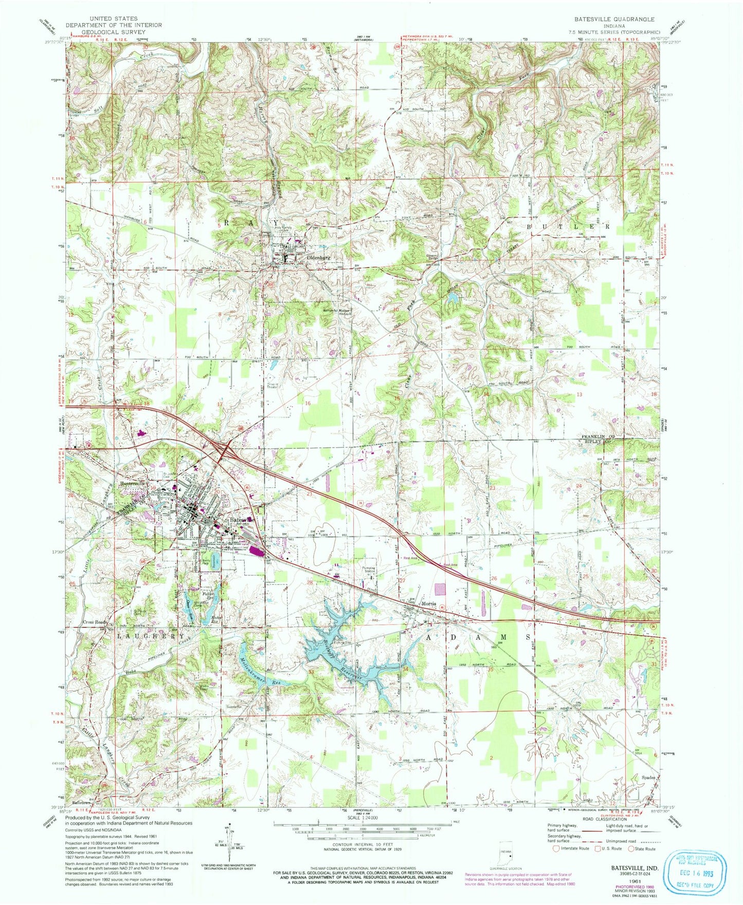
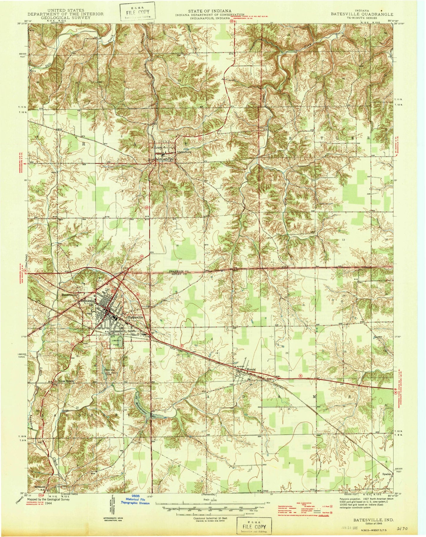
Classic USGS Batesville Indiana 7.5'x7.5' Topo Map
Couldn't load pickup availability
Historical USGS topographic quad map of Batesville in the state of Indiana. Map scale may vary for some years, but is generally around 1:24,000. Print size is approximately 24" x 27"
This quadrangle is in the following counties: Franklin, Ripley.
The map contains contour lines, roads, rivers, towns, and lakes. Printed on high-quality waterproof paper with UV fade-resistant inks, and shipped rolled.
Contains the following named places: Ballstown, Batesville, Batesville Fire Department, Batesville Police Department, Batesville Post Office, Batesville Volunteer Fire and Rescue Department and Emergency Medical Services 10, Bischoff Reservoir, Bischoff Reservoir Dam, Bobs Creek, City of Batesville, Cross Roads, Eagle Fire Company, Feller Reservoir, Hahn Reservoir, Hahn Reservoir Dam, Holy Family Cemetery, Huntersville, Kirschbaum School, Liberty Park, Margaret Mary Health, Mollenkramer Reservoir, Mollenkramer Reservoir Dam, Morris, Morris Post Office, Morris Volunteer Fire Department, Oldenburg, Oldenburg Elementary School, Oldenburg Police Department, Oldenburg Post Office, Oser Reservoir, Ray School, Saint Johns Cemetery, Saint Louis Cemetery, Saint Pauls Cemetery, Sorrowful Mother Shrine, Strausburg School, Sugar Creek, Sycamore Lake, Town of Oldenburg, Township of Adams, Township of Ray, Tri - County Ambulance, ZIP Code: 47006