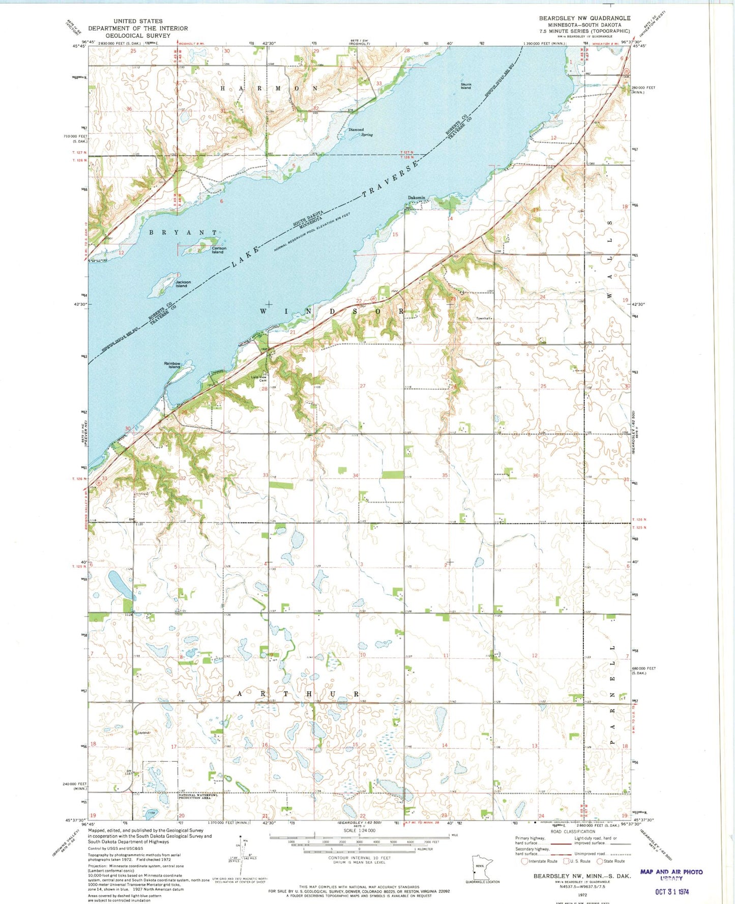

MyTopo
Classic USGS Beardsley NW Minnesota 7.5'x7.5' Topo Map
Regular price
$16.95
Regular price
Sale price
$16.95
Unit price
per
Couldn't load pickup availability
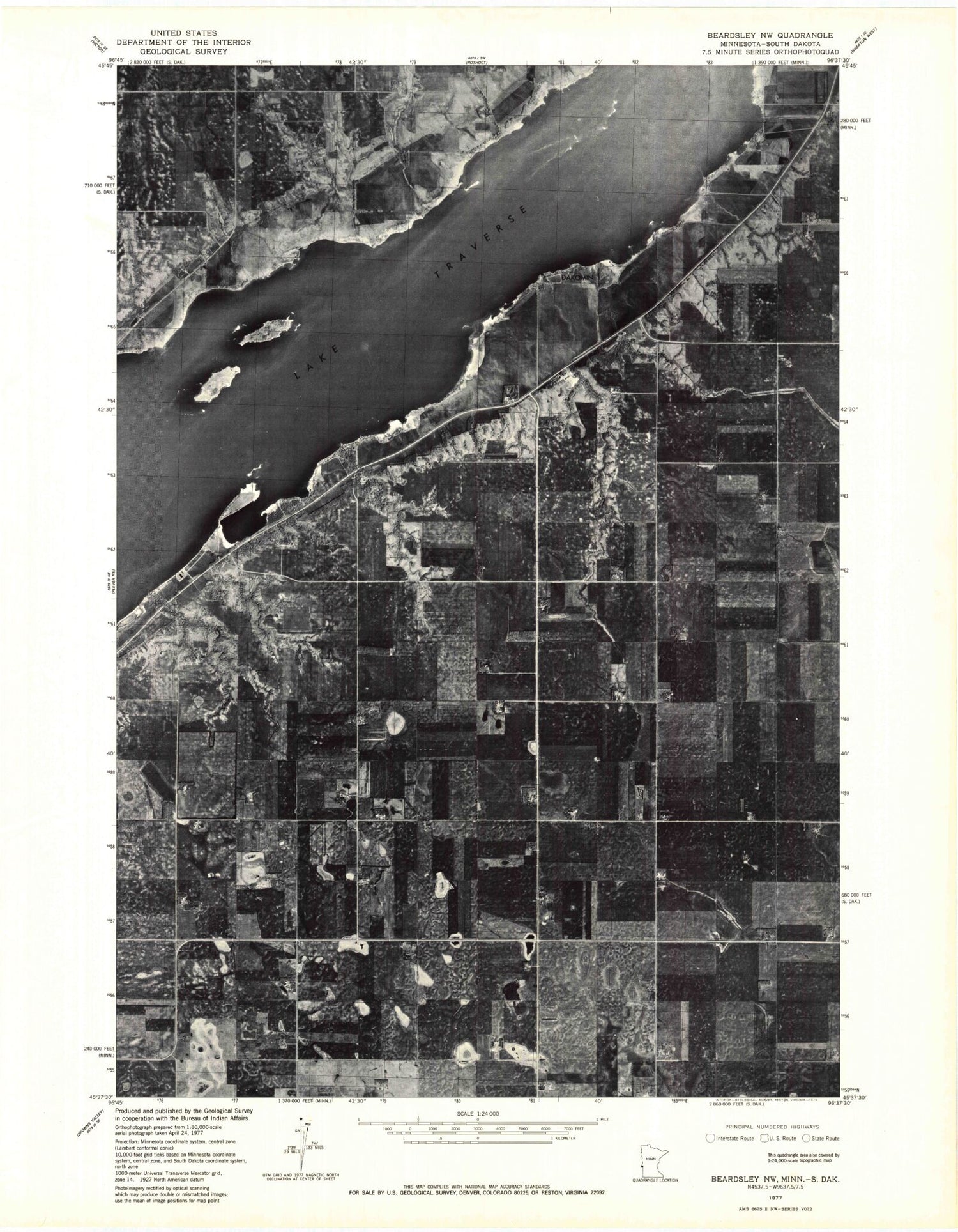
Historical USGS topographic quad map of Beardsley NW in the states of Minnesota, South Dakota. Map scale may vary for some years, but is generally around 1:24,000. Print size is approximately 24" x 27"
This quadrangle is in the following counties: Roberts, Traverse.
The map contains contour lines, roads, rivers, towns, and lakes. Printed on high-quality waterproof paper with UV fade-resistant inks, and shipped rolled.
Contains the following named places: Avery School, Carlson Island, Dakomin, Dakomin Post Office, Diamond, Jackson Island, Kaufman Resort, Lake Traverse, Lake View Cemetery, Rainbow Island, Round Mound School, School Number 2, Skunk Island, Township of Arthur, Township of Windsor