MyTopo
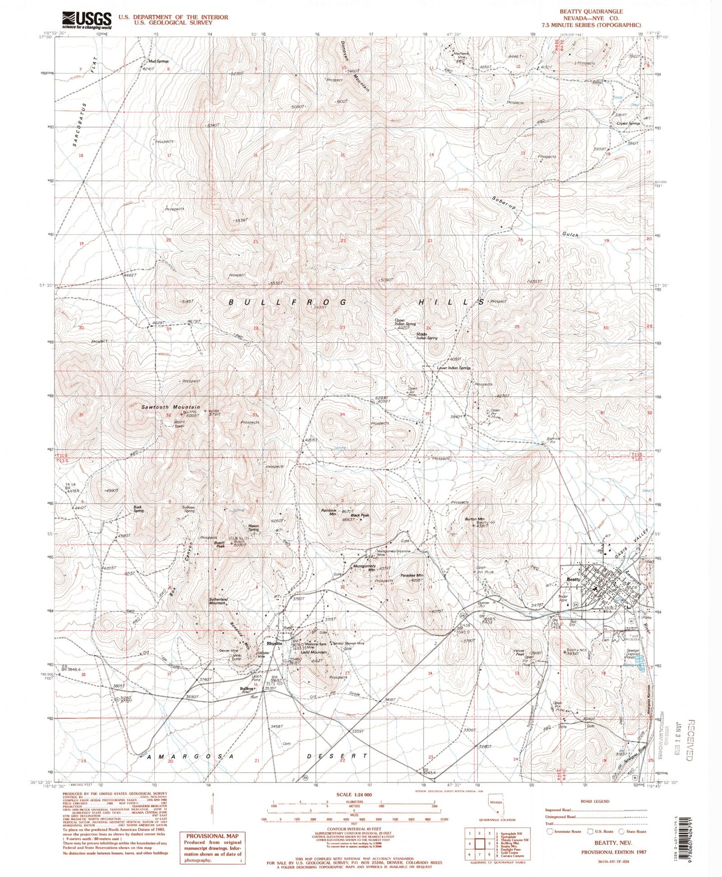
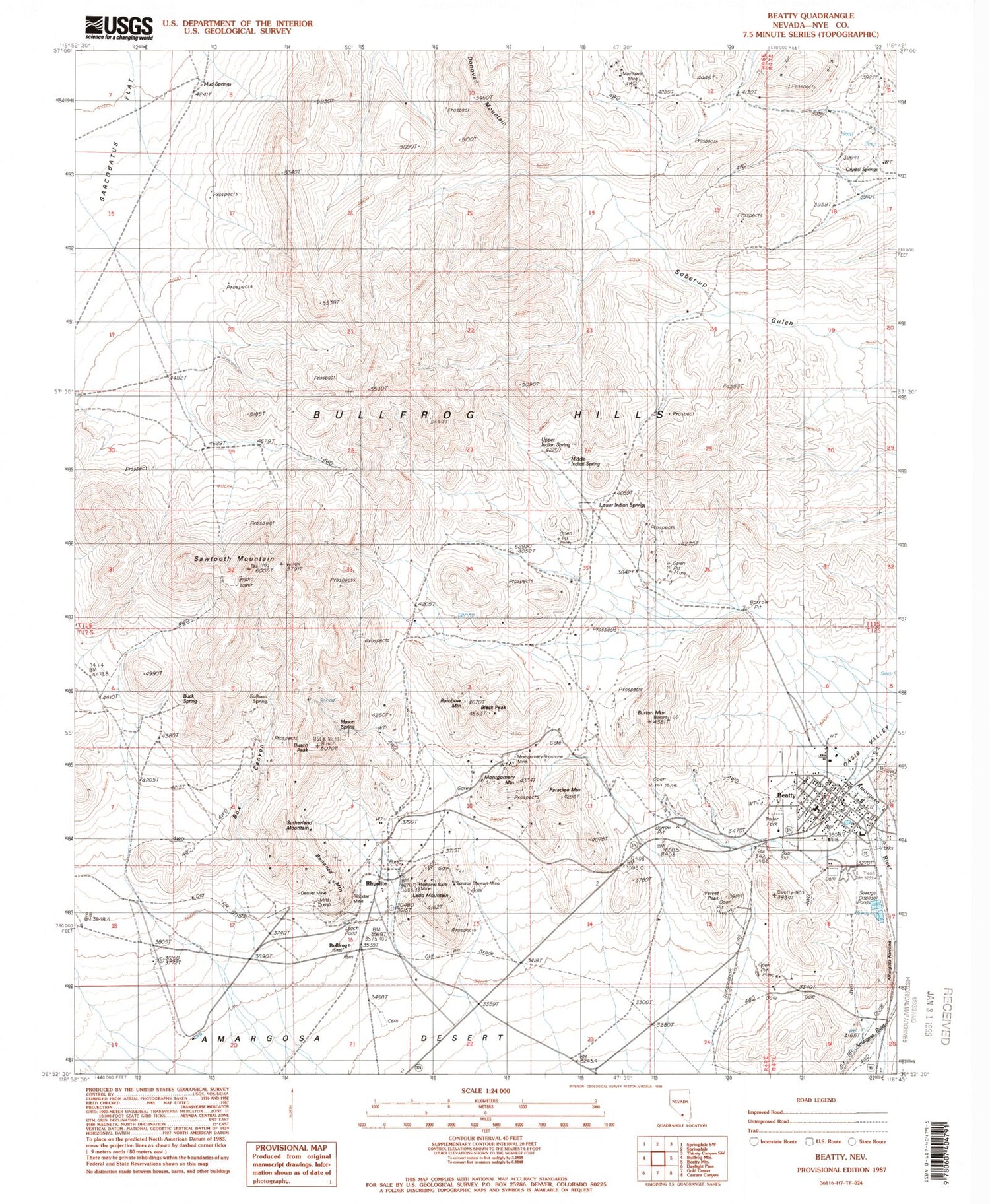
Classic USGS Beatty Nevada 7.5'x7.5' Topo Map
Couldn't load pickup availability
Historical USGS topographic quad map of Beatty in the state of Nevada. Map scale may vary for some years, but is generally around 1:24,000. Print size is approximately 24" x 27"
This quadrangle is in the following counties: Nye.
The map contains contour lines, roads, rivers, towns, and lakes. Printed on high-quality waterproof paper with UV fade-resistant inks, and shipped rolled.
Contains the following named places: Amargosa Narrows, Beatty, Beatty Elementary School, Beatty High School, Beatty Junction, Beatty Post Office, Beatty Volunteer Ambulance Service, Beatty Volunteer Fire Department, Black Peak, Bonanza Mountain, Box Canyon, Buck Spring, Bullfrog, Bullfrog - Rhyolite Cemetery, Bullfrog Hills, Bullfrog Mining District, Bullfrog Post Office, Burton Mountain, Busch Peak, Crystal Springs, Denver Mine, Desert Hill Cemetery, Doris Montgomery Pass, Dry Canyon, Gibraltar Mine, King Mine, Ladd Mountain, Lower Indian Springs, Lucky Jack Mine, Mason Spring, Mayflower Mine, Middle Indian Spring, Montgomery Mountain, Montgomery-Shoshone Mine, Mud Springs, National Bank Mine, Nevada Highway Patrol Southern Command Beatty, Nye County Sheriff's Office Substation, Oasis Valley, Paradise Mountain, Quinn Mill, Rainbow Mountain, Rhyolite, Rhyolite Post Office, Sawtooth Mountain, Senator Stewart Mine, Shoshone Polaris Mine, Sullivan Spring, Sutherland Mountain, Tramps Mine, Upper Indian Spring, US Milling Company Mill, Vanderbilt Mine, Velvet Peak