MyTopo
Classic USGS Bellefontaine Alabama 7.5'x7.5' Topo Map
Couldn't load pickup availability
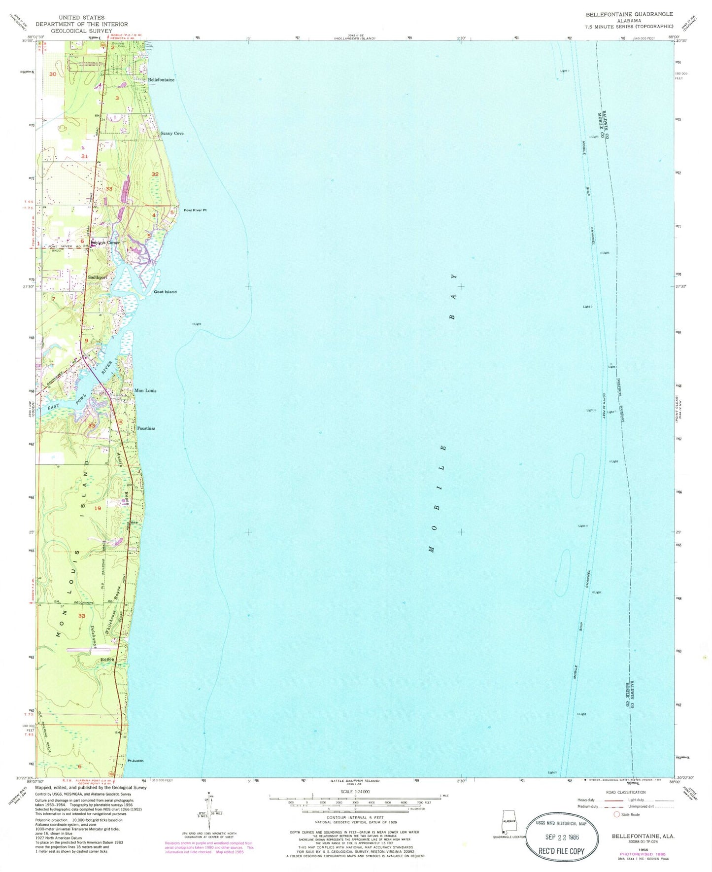
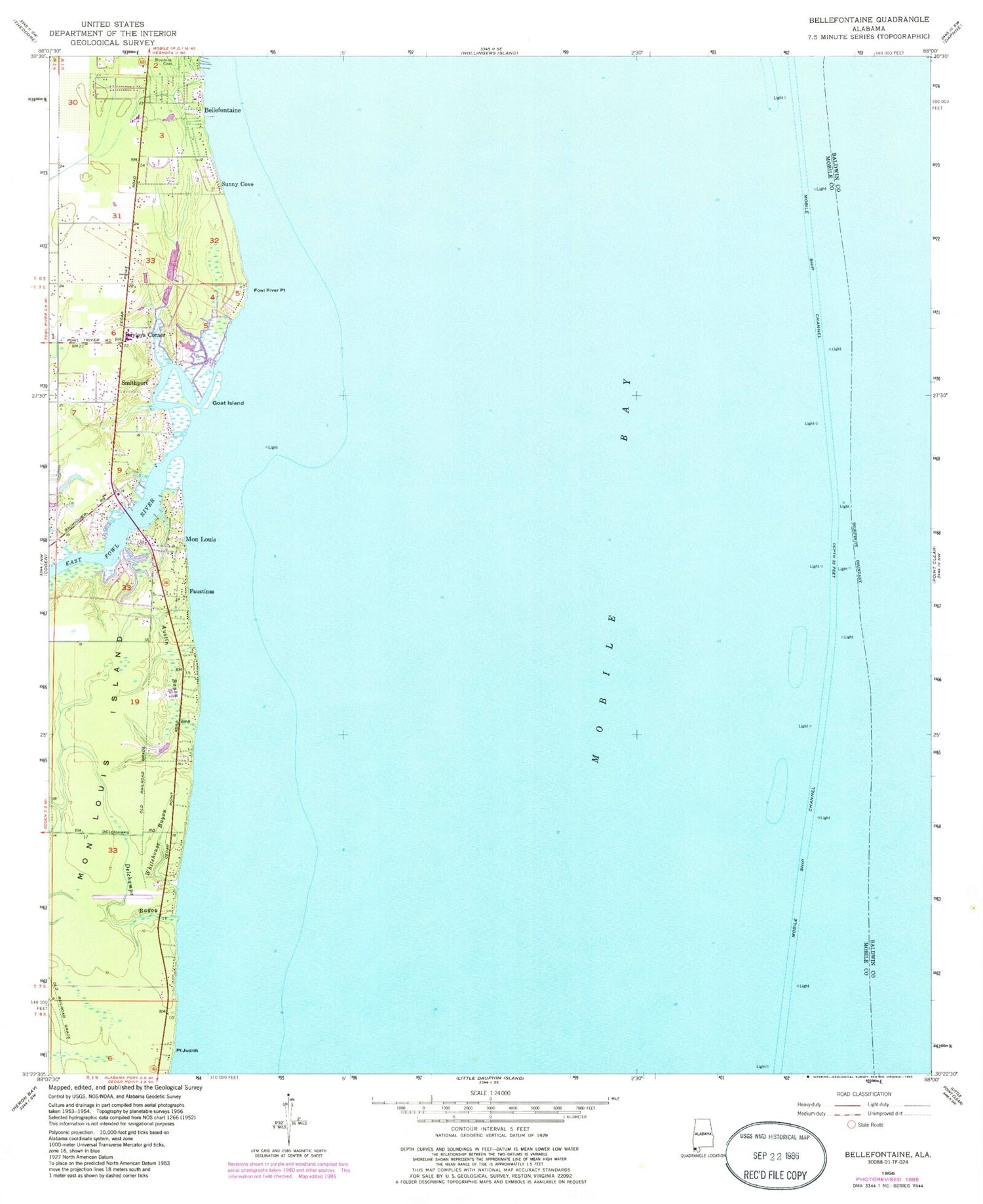
Historical USGS topographic quad map of Bellefontaine in the state of Alabama. Map scale may vary for some years, but is generally around 1:24,000. Print size is approximately 24" x 27"
This quadrangle is in the following counties: Baldwin, Mobile.
The map contains contour lines, roads, rivers, towns, and lakes. Printed on high-quality waterproof paper with UV fade-resistant inks, and shipped rolled.
Contains the following named places: Austin Bayou, Baumhauer Road Baptist Church, Bayleys Corner, Belle Fontaine Census Designated Place, Bellefontaine, Bellefontaine Church, Boudans Cemetery, Delchamps Bayou, East Fowl River, Faustinas, Fowl River Marina, Fowl River Point, Goat Island, Mathis Cemetery, Mobile Bay, Mobile Bay Light, Mobile Ship Channel, Mon Louis, Pecan Grove Trailer Park, Point Judith, Point Judith Gas Field, S A Barrett Dam, Saint Rose Church, Smithport, South Mobile First Baptist Church, Sunny Cove, Whitehouse Bayou, WMOZ-AM (Mobile)