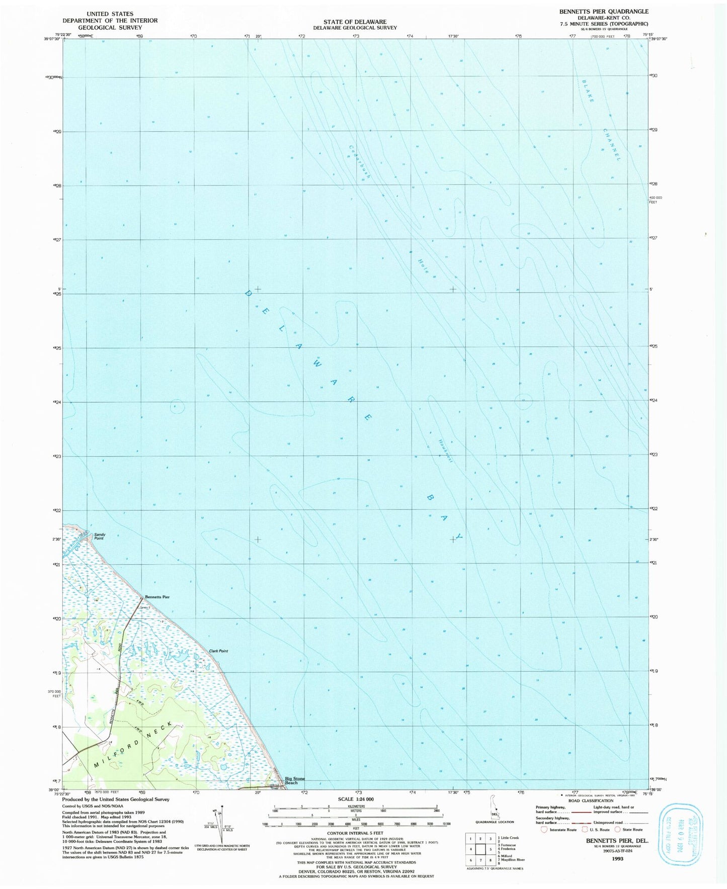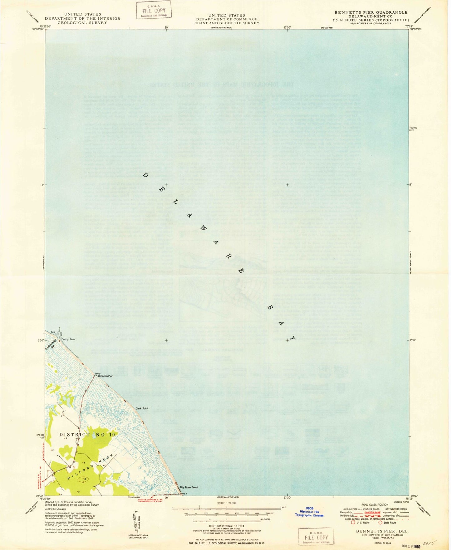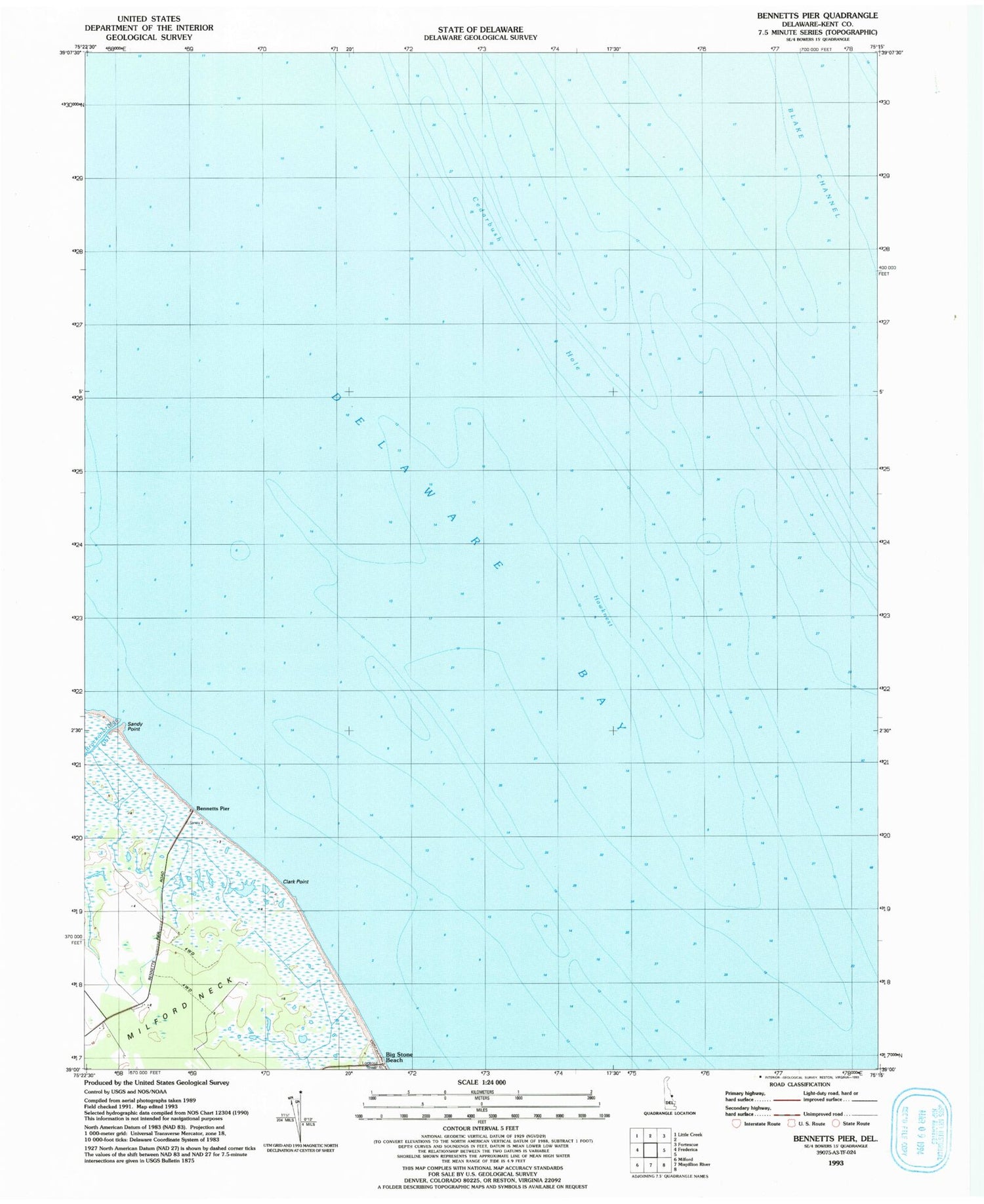
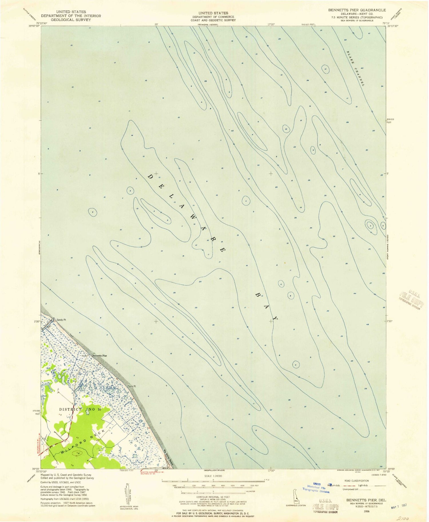
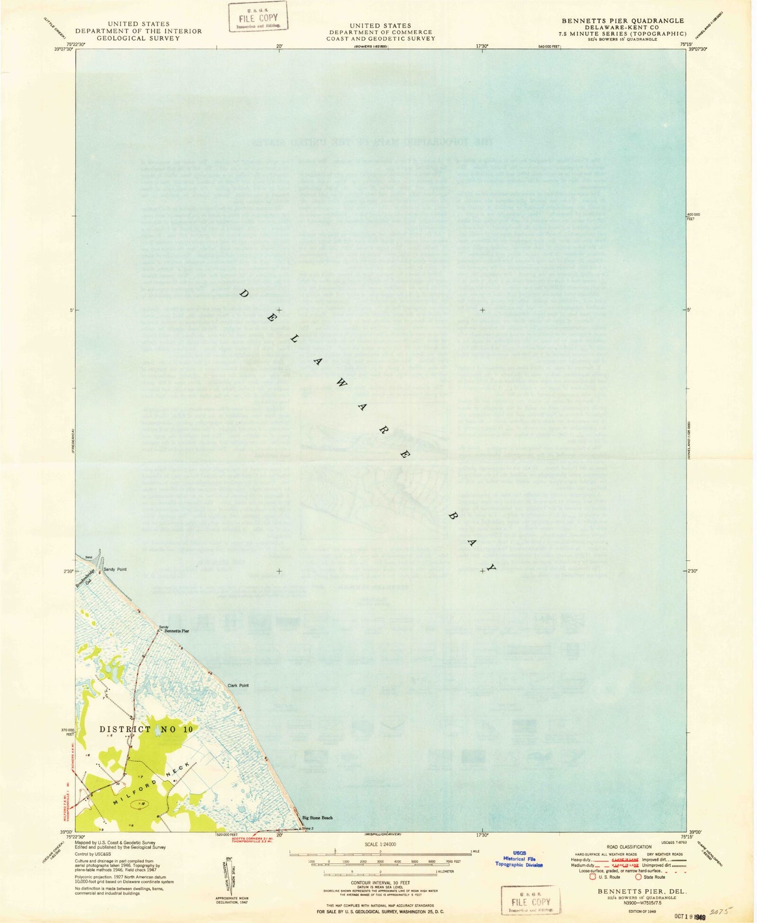
MyTopo
Classic USGS Bennetts Pier Delaware 7.5'x7.5' Topo Map
Regular price
$16.95
Regular price
Sale price
$16.95
Unit price
per
Couldn't load pickup availability
Historical USGS topographic quad map of Bennetts Pier in the state of Delaware. Map scale may vary for some years, but is generally around 1:24,000. Print size is approximately 24" x 27"
This quadrangle is in the following counties: Kent.
The map contains contour lines, roads, rivers, towns, and lakes. Printed on high-quality waterproof paper with UV fade-resistant inks, and shipped rolled.
Contains the following named places: Bennetts Pier, Big Stone Beach, Blake Channel, Cedarbush Hole, Clark Point, Clarks Ditch, Frenchs Mobile Homes, Hawknest, Hawks Inlet, Milford North Division, Sandy Point, The Inner Fork of the Shears