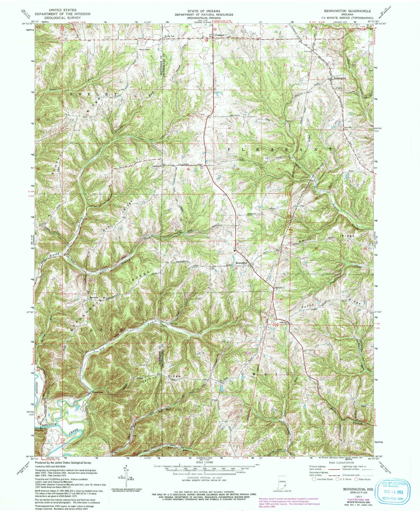
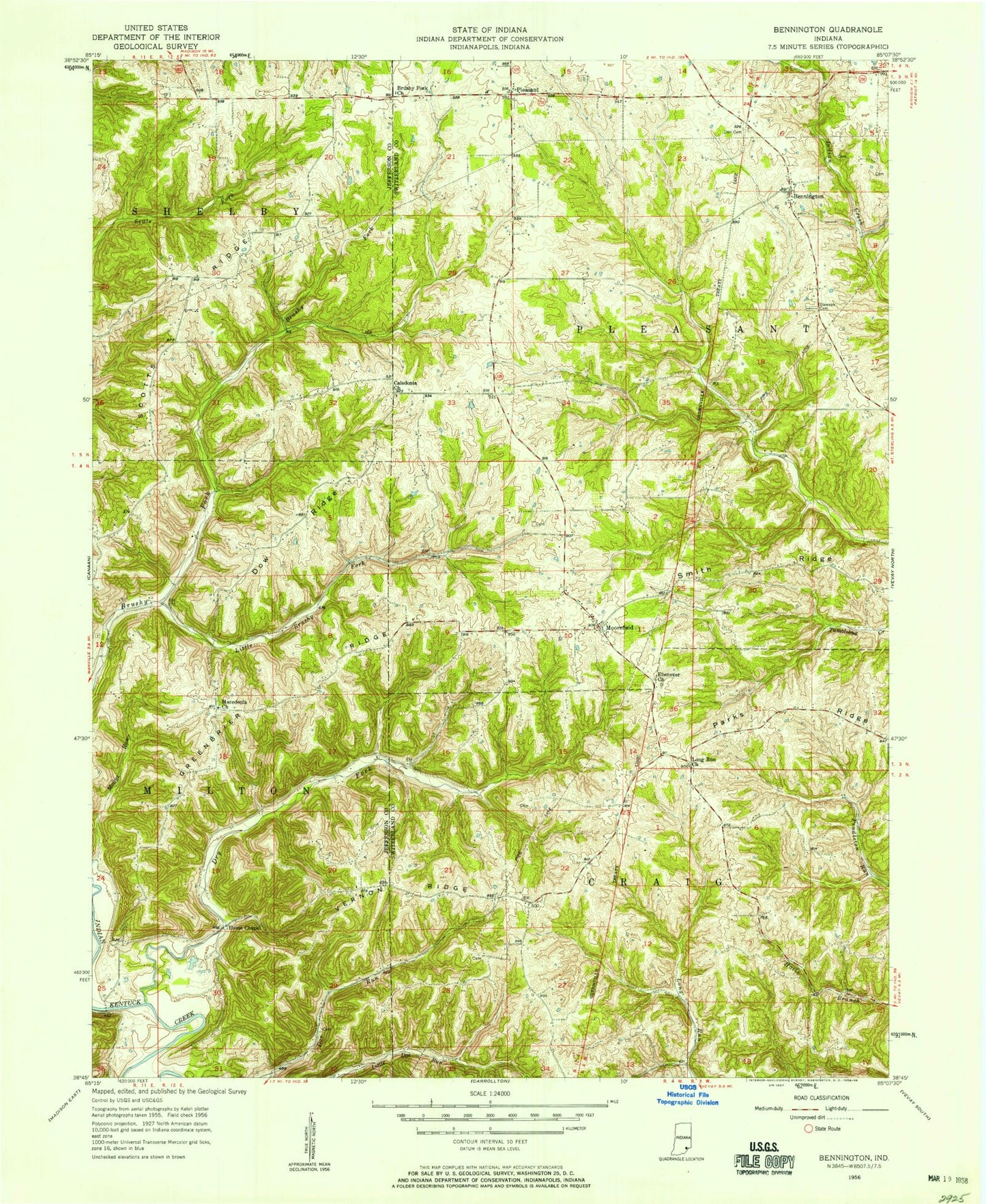
MyTopo
Classic USGS Bennington Indiana 7.5'x7.5' Topo Map
Couldn't load pickup availability
Historical USGS topographic quad map of Bennington in the state of Indiana. Map scale is 1:24000. Print size is approximately 24" x 27"
This quadrangle is in the following counties: Jefferson, Switzerland.
The map contains contour lines, roads, rivers, towns, and lakes. Printed on high-quality waterproof paper with UV fade-resistant inks, and shipped rolled.
Contains the following named places: Bennington, Brushy Fork Church, Caledonia Church, Dow Ridge, Dry Fork, Ebenezer Church, Greenbrier Ridge, Home Chapel, Home Post Office (historical), Little Brushy Fork, Long Run Church, Macedonia Church, Mollys Run, Moorefield, Moorefield Community Volunteer Fire Department, Parks Ridge, Pleasant, Pleasant Cemetery, Scotts Ridge, Slawson Cemetery, Smith Ridge, Township of Milton, Township of Pleasant, Vernon Ridge