MyTopo
Classic USGS Benton Alabama 7.5'x7.5' Topo Map
Couldn't load pickup availability
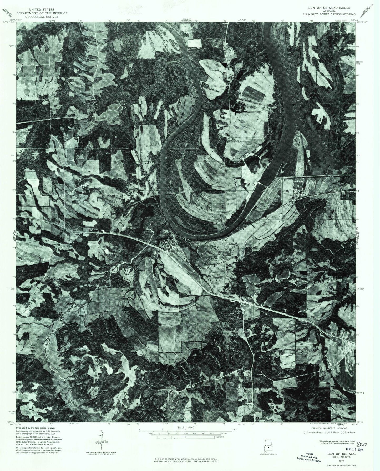
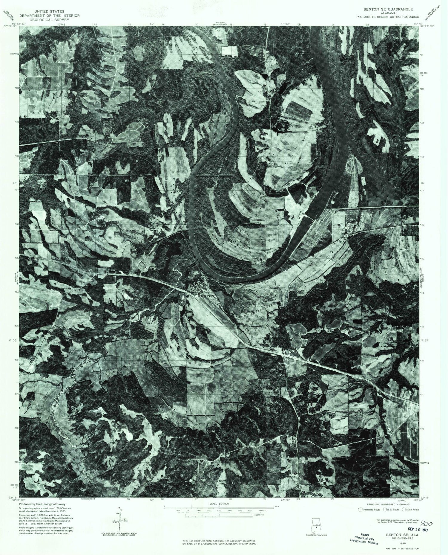
Historical USGS topographic quad map of Benton in the state of Alabama. Map scale may vary for some years, but is generally around 1:24,000. Print size is approximately 24" x 27"
This quadrangle is in the following counties: Autauga, Dallas, Lowndes.
The map contains contour lines, roads, rivers, towns, and lakes. Printed on high-quality waterproof paper with UV fade-resistant inks, and shipped rolled.
Contains the following named places: B C Rhyne Dam, B C Rhyne Lake, Bar Below Benton, Benton, Benton Landing, Benton Post Office, Big Elam Church, Big Swamp Creek, Camp Creek, Camp Creek Church, Days Bend, Dulaney School, Edsons, Elam Church, Ellwood Church, Ellwood School, Good Hope Cemetery, Good Hope Church, Gunters Farm, J Smiths Landing, M A Richard Dam, Mount Gilead Cemetery, Mount Gillard Cemetery, Mount Nebo Church, Mount Sinai Church, New Mount Moriah Church, Old Town Creek, Petronia, Pilgrim Church, Pilot Creek, Prairie Creek, Prairie Creek Public Land Use, Richard Lake, Robert F Henry Lock and Dam, Robert Rives Cemetery, Talisi, Town of Benton, Upchurch Lake Dam, Valley Creek, Weeping Willow Church, Wood Landing, ZIP Code: 36785