MyTopo
Classic USGS Bessemer Pennsylvania 7.5'x7.5' Topo Map
Couldn't load pickup availability
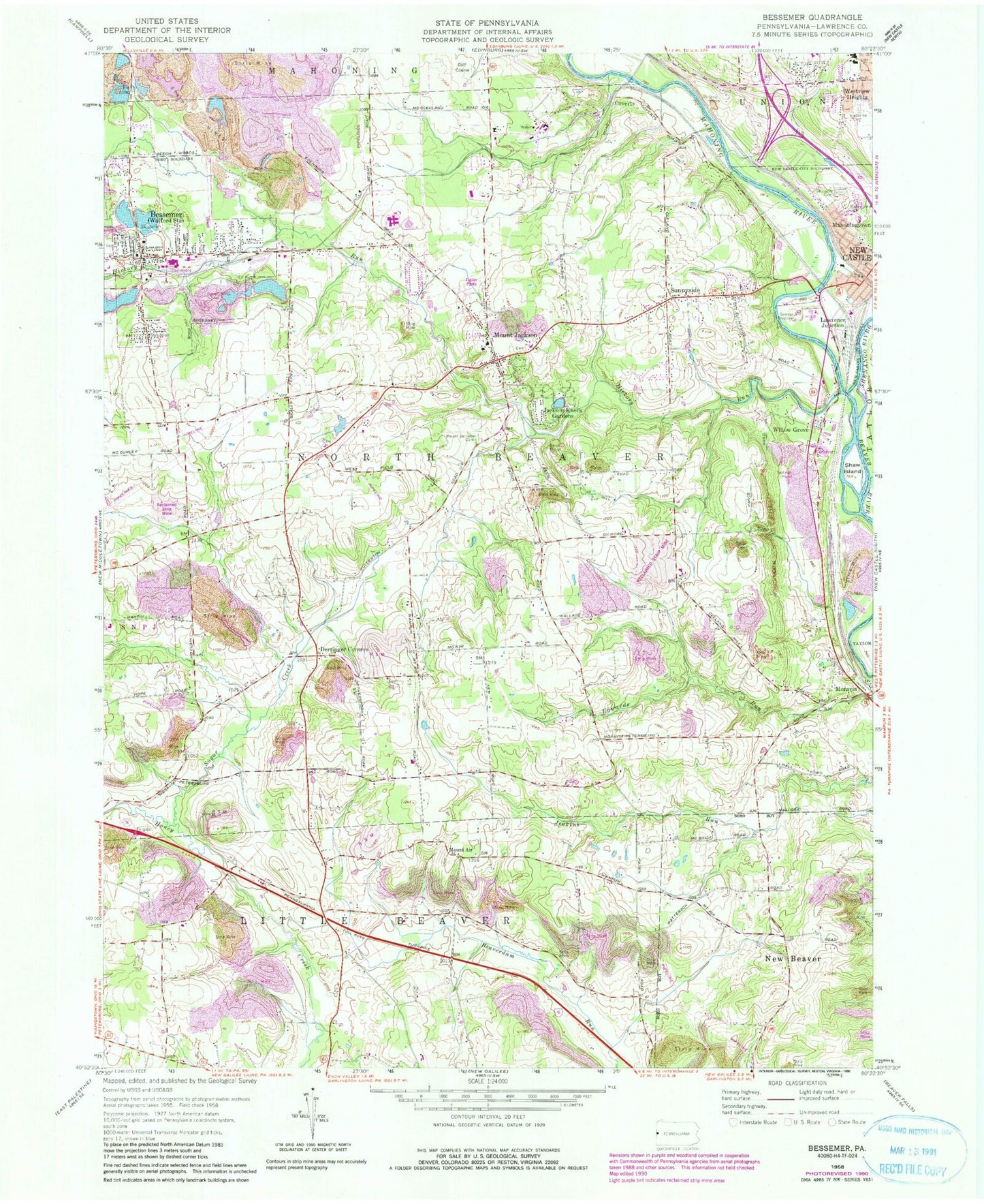
Historical USGS topographic quad map of Bessemer in the states of Pennsylvania, Ohio. Map scale is 1:24000. Print size is approximately 24" x 27"
This quadrangle is in the following counties: Lawrence.
The map contains contour lines, roads, rivers, towns, and lakes. Printed on high-quality waterproof paper with UV fade-resistant inks, and shipped rolled.
Contains the following named places: Bessemer, Bessemer Boro Police Department, Bessemer Cemetery, Bessemer Post Office, Bessemer Volunteer Fire Company Station 400, Bethel Church Cemetery, Borough of Bessemer, Borough of S.N.P.J., Coverts, Derringer Corners, Evans Airport (historical), Gwin Airport (historical), Hickory Creek, Hickory Creek, Hickory Run, Jackson Knolls Gardens, Kimmel Airport (historical), Lawrence Junction, Little Beaver Police Department, Madonna Cemetery, Mahoning River, Moravia, Mount Air, Mount Jackson, Mount Jackson Battery B Methodist Episcopal Church Hill Cemetery, Mount Jackson Cemetery, North Beaver Township Police Department, North Beaver Township Volunteer Fire Department Station 700, Reno Airport, Saint Lucy Cemetery, Shaw Island, Shenango River, Sugar Creek, Sunnyside, Swedish Mission Covenant Church Cemetery, Township of Little Beaver, Township of North Beaver, Turner Poultry Farm, Union Area High School, Union Area Middle School, Union Memorial Elementary School, Valley View Cemetery, WBZY-AM (New Castle), Westfield Presbyterian Cemetery, Westview Heights, Willow Grove