
MyTopo
Classic USGS Big Point Mississippi 7.5'x7.5' Topo Map
Couldn't load pickup availability
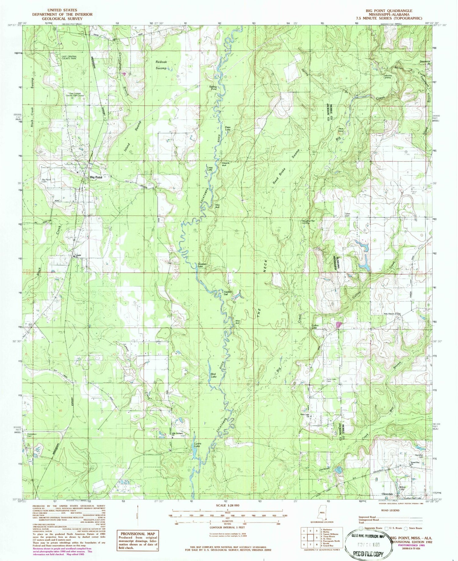
Historical USGS topographic quad map of Big Point in the states of Mississippi, Alabama. Map scale may vary for some years, but is generally around 1:24,000. Print size is approximately 24" x 27"
This quadrangle is in the following counties: Jackson, Mobile.
The map contains contour lines, roads, rivers, towns, and lakes. Printed on high-quality waterproof paper with UV fade-resistant inks, and shipped rolled.
Contains the following named places: Bay Branch, Big Creek, Big Point, Big Point Cemetery, Big Point Census Designated Place, Big Point Methodist Church, Bird Lake, Church of God, Cloverdale, Collins Creek, Collins Lake, Cowards Bluff, Crandall School, Cunningham Branch, East Central County Golf Course, East Central County Park, Evergreen Cemetery, Fiddlers Sail, Forts Lake Assembly of God Church, Forts Lake Church, Galloway Landing, Goatpen Lake, Hamilton Cemetery, Holy Church of God, Island Branch, Island Swamp, Lily Orchard Church, Long Lake, Lyons Creek, Lyons Lake, Miles Bluff, Miller Creek, Mule Island, Northeast Jackson County Fire Department Station 1, Northeast Jackson County Fire Department Station 3, Nut Bank, Pathyway Baptist Church, Petes Lake, Quail Ridge Park Mobile Home Park, Reed Brake Swamp, Rubenhouse Bluff, Sapling Pond, Sikes Bluff, Simmons Branch, Slaughter Flat Landing, Spring Branch, Tates Cemetery, Temple Baptist Church, The Neck, W R Clark Cemetery, Whispering Pines Golf Course, Willow Lake, ZIP Code: 39562


