MyTopo
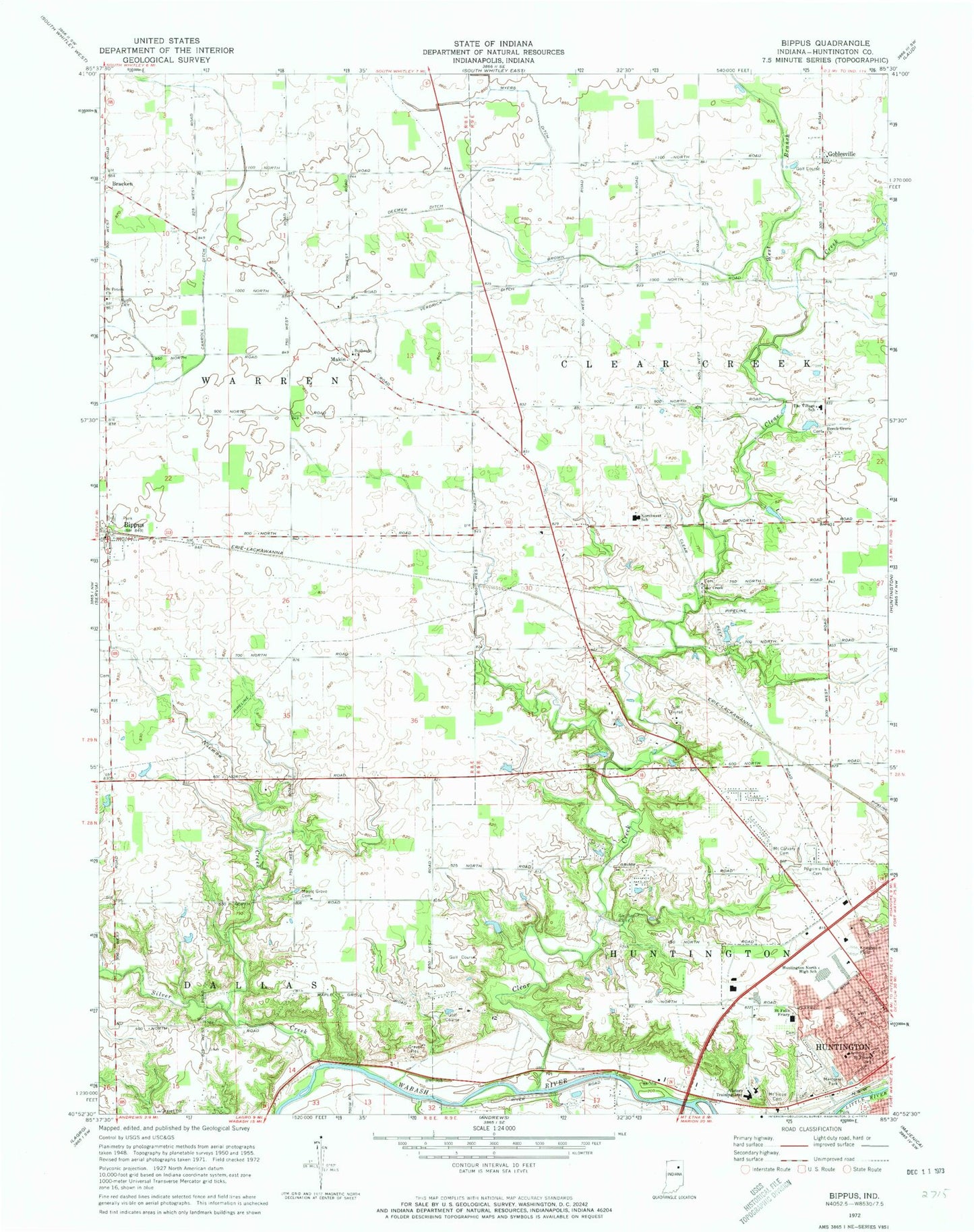
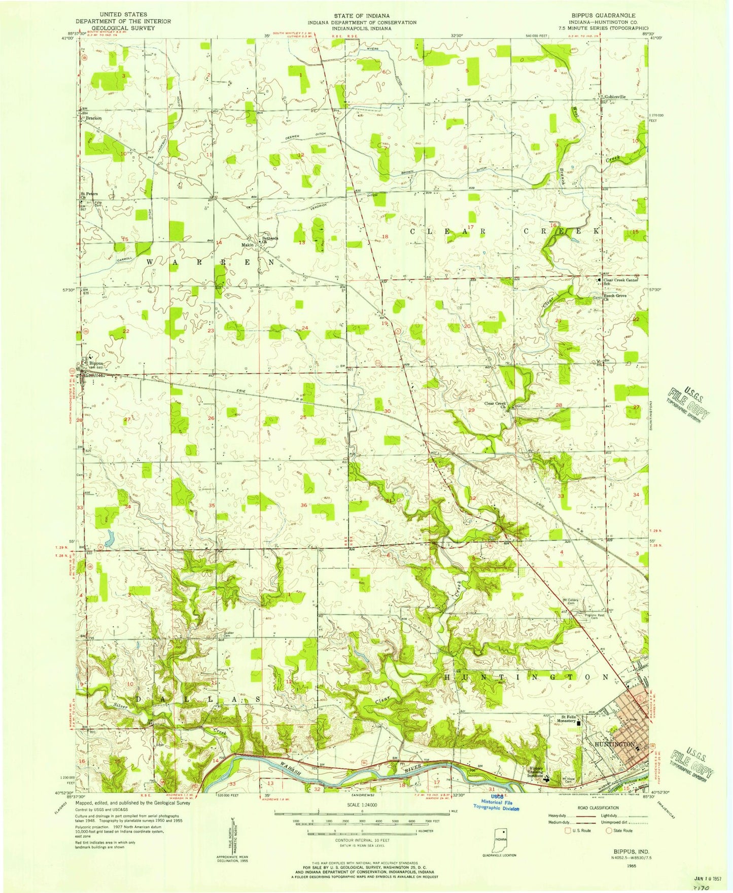
Classic USGS Bippus Indiana 7.5'x7.5' Topo Map
Couldn't load pickup availability
Historical USGS topographic quad map of Bippus in the state of Indiana. Map scale may vary for some years, but is generally around 1:24,000. Print size is approximately 24" x 27"
This quadrangle is in the following counties: Huntington.
The map contains contour lines, roads, rivers, towns, and lakes. Printed on high-quality waterproof paper with UV fade-resistant inks, and shipped rolled.
Contains the following named places: Beck Private Airport, Beech Grove Church, Bethesda Church, Bippus, Bippus West Fire Department, Bracken, Brown Ditch, Carroll Ditch, City of Huntington, Clear Creek, Clear Creek Church, Deemer Ditch, Funk Cemetery, Goblesville, Huntington North High School, Kriegbaum Field, Little River, Makin, Maple Grove Cemetery, Memorial Park, Mount Calvary Cemetery, Mount Hope Cemetery, Myers Ditch, Nieman Creek, Northwest Elementary School, Norwood Health and Rehabilitation Center, Pilgrims Rest Cemetery, Saint Felix Friary, Saint Peter Lutheran School, Saint Peters Church, Silver Creek, The Village School, Township of Clear Creek, Township of Warren, Verdrick Ditch, Victory Training Institute, West Branch Clear Creek, WVSH-FM (Huntington)