
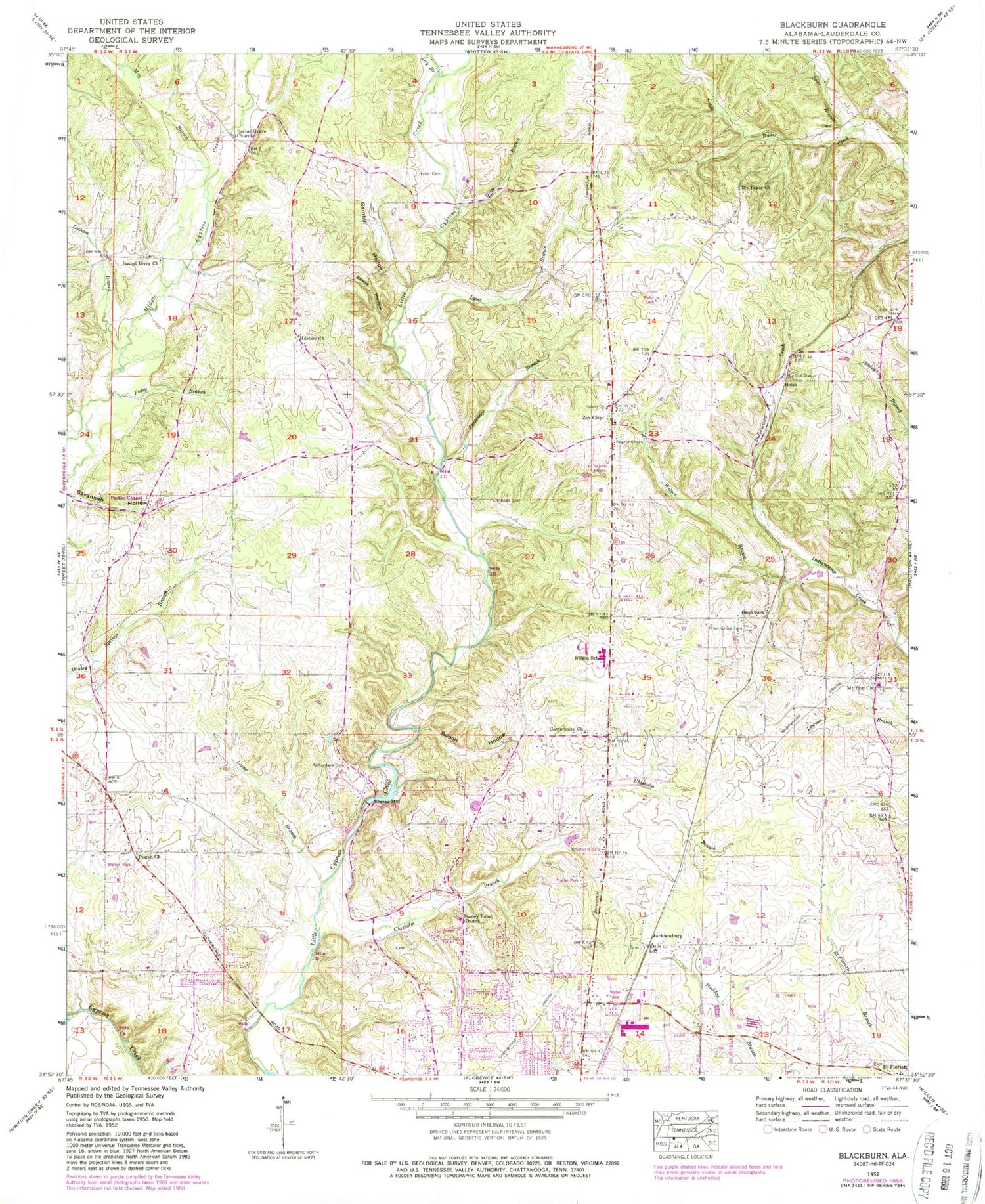
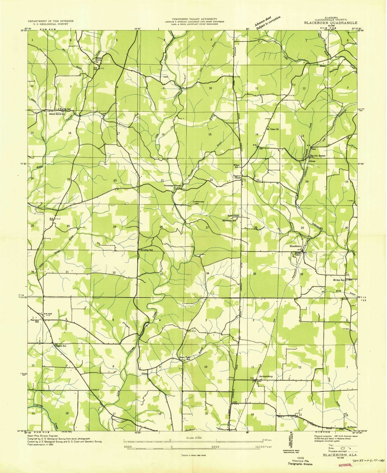
MyTopo
Classic USGS Blackburn Alabama 7.5'x7.5' Topo Map
Couldn't load pickup availability
Historical USGS topographic quad map of Blackburn in the state of Alabama. Map scale may vary for some years, but is generally around 1:24,000. Print size is approximately 24" x 27"
This quadrangle is in the following counties: Lauderdale.
The map contains contour lines, roads, rivers, towns, and lakes. Printed on high-quality waterproof paper with UV fade-resistant inks, and shipped rolled.
Contains the following named places: Bethel Berry Church of Christ, Bethel Grove, Bethel Grove Community United Methodist Church, Bethel Grove School, Big Cut Station, Blackburn, Bowie Branch, Bowie Hollow, Bretherick Plantation, Camp Florence, Chisholm Branch, Chisholm Cemetery, Chisholm Heights Church, Chisholm School, Community Church, Crossroads Church, Dry Branch, Fairview, Fairview School, Florence Division, Gambill Hollow, Gooch Hollow, Gray Branch, Hillsdale Methodist Church, Hines, Hope Post Office, Ijams Branch, Jacksonburg, Jacksonburg Church of Christ, Keys Chapel, Latham Branch, Lauderdale County, Lyles Branch, May Branch, Mount Tabor School, Mount Tabor United Methodist Church, Mount Zion Church of Christ, Mount Zion School, Nolen Cemetery, Oak Hill, Parker Chapel Missionary Baptist Church, Parsonage Branch, Parsonage Cemetery, Parsonage Chapel United Methodist Church, Paulk Cemetery, Pine Grove Cemetery, Piney Grove Church of Christ, Piney Grove School, Pisgah African Methodist Episcopal Church, Posey Branch, Richardson Cemetery, Rogers Chapel United Methodist Church, Salem Church of Christ, Savannah Hollow, Sharps Mill, Sharps Mill Dam, Sharps Mill Pond, Sour Branch, Stoney Point, Stoney Point Church of Christ, Stoney Point School, Striplin School, Suncrest, Terrace View, Twin Oaks, Underwood-Petersville Census Designated Place, Warren School, Webster, Wilkes Park, Wilson, Wilson Branch, Wilson Junior High School, Zip City, Zip City Volunteer Fire Department


