
MyTopo
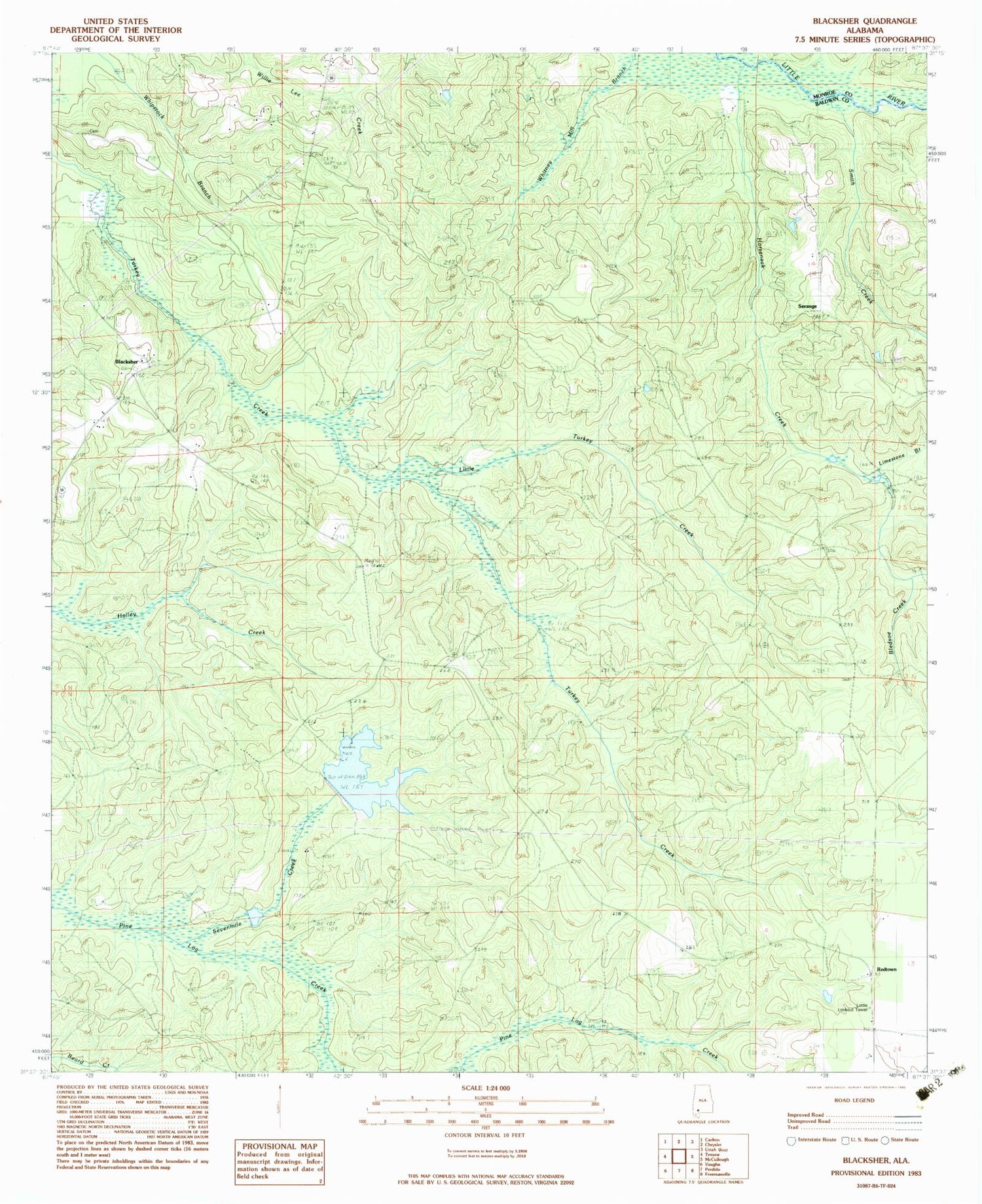
Classic USGS Blacksher Alabama 7.5'x7.5' Topo Map
Couldn't load pickup availability
Historical USGS topographic quad map of Blacksher in the state of Alabama. Map scale may vary for some years, but is generally around 1:24,000. Print size is approximately 24" x 27"
This quadrangle is in the following counties: Baldwin, Monroe.
The map contains contour lines, roads, rivers, towns, and lakes. Printed on high-quality waterproof paper with UV fade-resistant inks, and shipped rolled.
Contains the following named places: Beaverdam Creek, Blacks Mill, Blacksher, Blacksher Oil Field, Bledsoe Branch, Brown Crosby Camp, Dixie Church Cemetery, Horseneck Creek, Limestone Branch, Little River Oil Field, Little Turkey Creek, Lottie Lookout Tower, Montpelier, Patterson Dam, Patterson Lake, Redtown, Serange, Sevenmile Creek, Smith Creek, Southern Pine Hills, Steadham Cemetery, Tate Creek Missionary Baptist Church, ZIP Code: 36550


