MyTopo
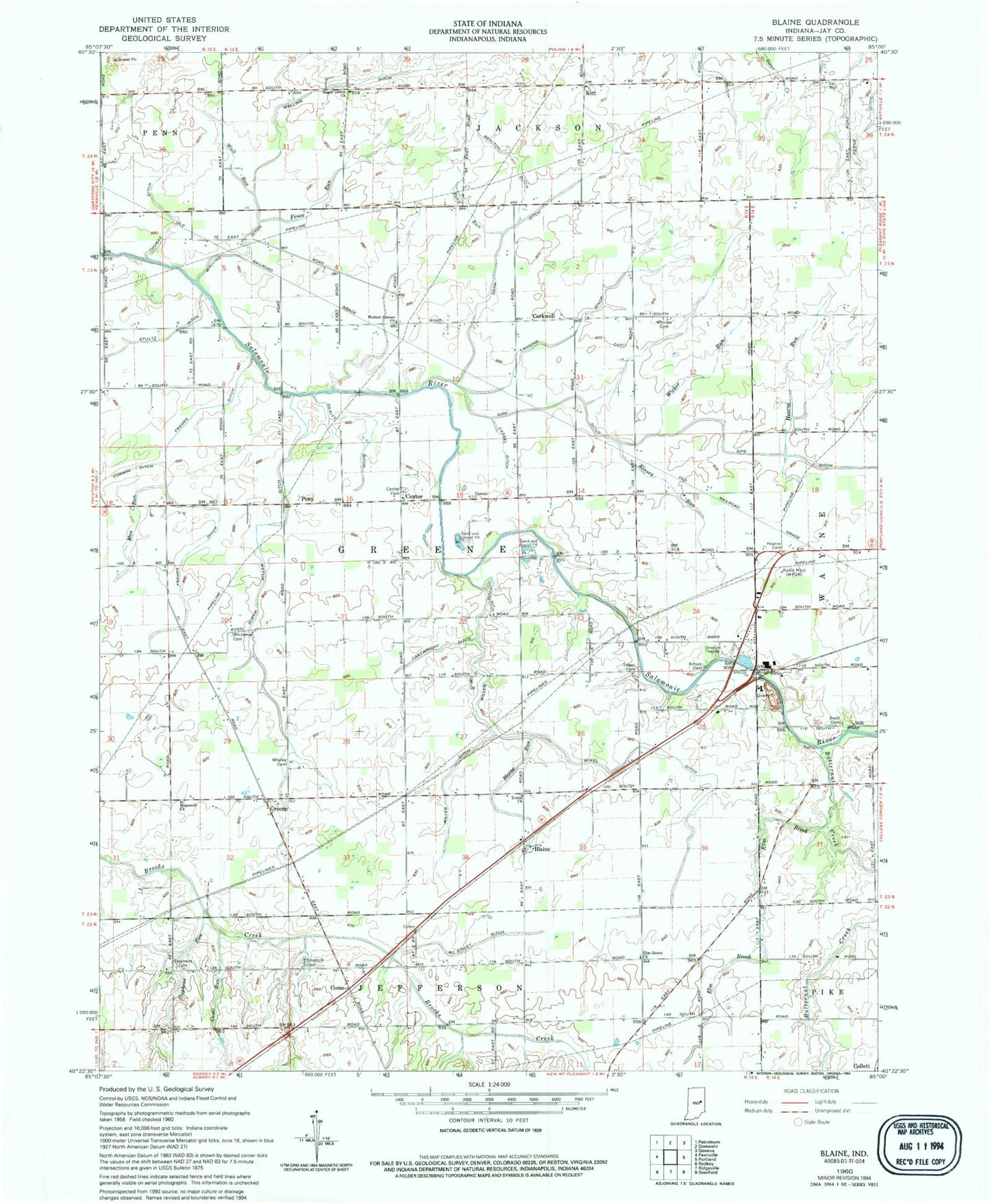
Classic USGS Blaine Indiana 7.5'x7.5' Topo Map
Couldn't load pickup availability
Historical USGS topographic quad map of Blaine in the state of Indiana. Map scale may vary for some years, but is generally around 1:24,000. Print size is approximately 24" x 27"
This quadrangle is in the following counties: Jay.
The map contains contour lines, roads, rivers, towns, and lakes. Printed on high-quality waterproof paper with UV fade-resistant inks, and shipped rolled.
Contains the following named places: Bealton Ditch, Blaine, Blaine Run, Butternut Creek, Cartwright Ditch, Cassell Ditch, Center, Collett, Como, Como Run, Corkwell, Dority Ditch, Elm Brook, Elm Grove Church, Fence Run, Franks Ditch, Glenn Miller Ditch, Greene, Hahn Ditch, Hearn Cemetery, Hearne Run, Hopewell Church, Jay County, Kinsey Cemetery, Kinsey Run, Kitt, Lanning Ditch, Man Run, May Ditch, McKinley Ditch, Miller Ditch, Myran Ditch, New Mount Run, Pony, Pony Run, Portland Quarry, Priest Ditch, Reed Cemetery, Sager Cemetery, Sipe Ditch, Stephens Cemetery, Stephens Run, Stratton Cemetery, Stultz Ditch, Sugar Grove Church, Thomas Ditch, Township of Greene, Union Church, Wall Run, Walling Ditch, Walnut Corner Church, Whaley Cemetery, Whicker Cemetery, Whiteman Cemetery, Wicker Run, Wikel Ditch