MyTopo
Classic USGS Bloomfield Vermont 7.5'x7.5' Topo Map
Couldn't load pickup availability
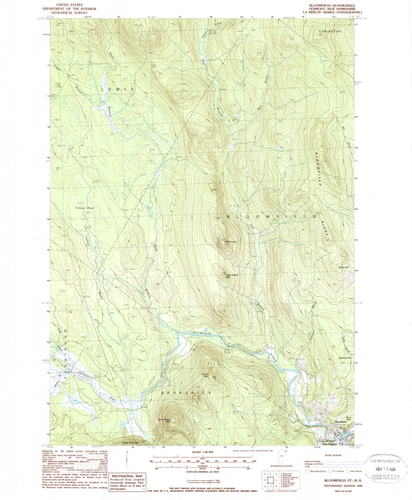
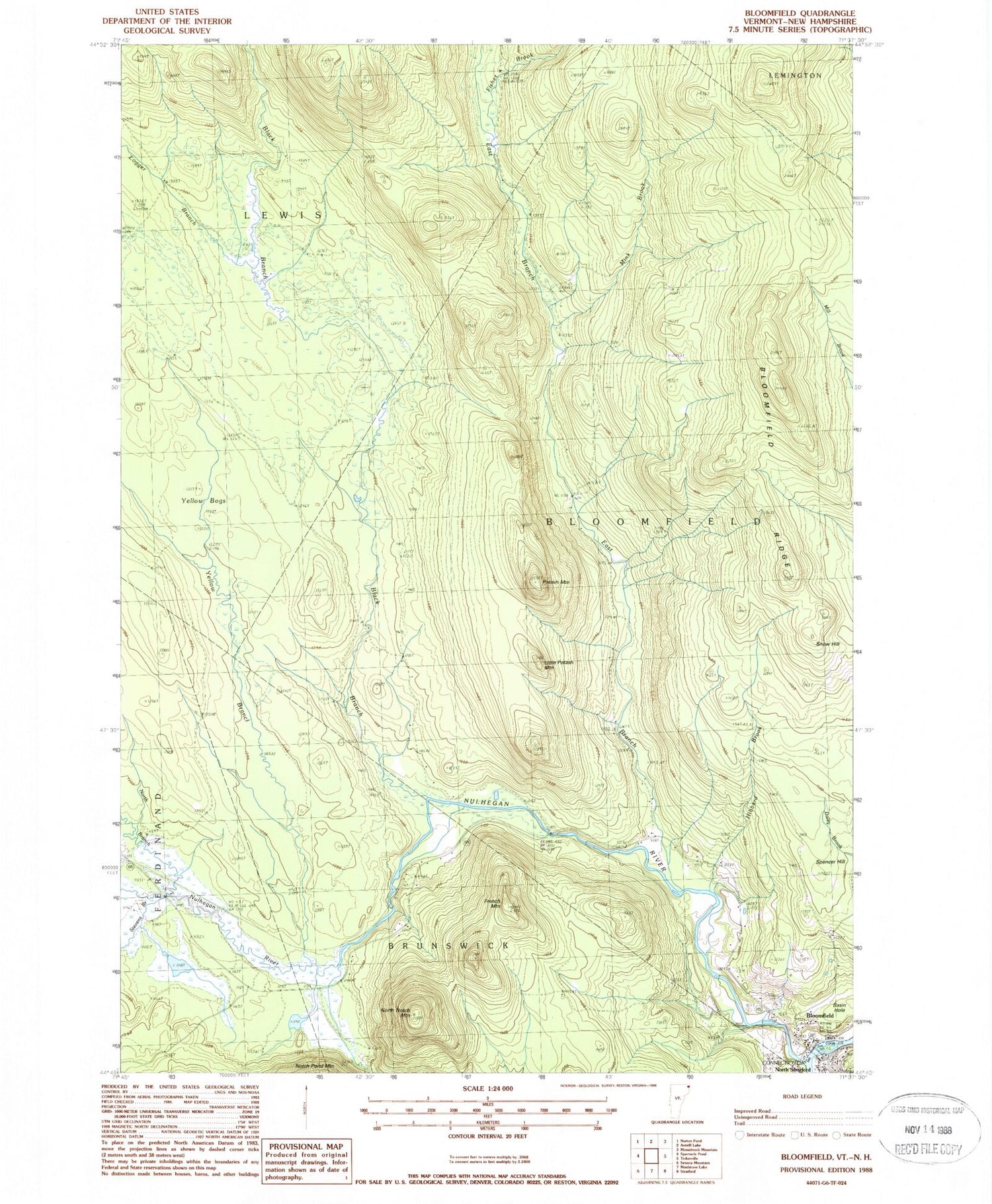
Historical USGS topographic quad map of Bloomfield in the states of Vermont, New Hampshire. Typical map scale is 1:24,000, but may vary for certain years, if available. Print size: 24" x 27"
This quadrangle is in the following counties: Coos, Essex.
The map contains contour lines, roads, rivers, towns, and lakes. Printed on high-quality waterproof paper with UV fade-resistant inks, and shipped rolled.
Contains the following named places: Big Dam, Black Branch Nulhegan River, Bloomfield, Bloomfield Ridge, Brooks Dam, Buzzell Dam, Camp Number Ten, Camp Number Fifteen, Camp Number Seventeen, Camp Number Three, Camp Number Four, Camp Number Five, Camp Number Six, Dam Number One, Dam Number Two, Dam Number Three, East Branch Nulhegan River, First Brook, Fisher Brook, French Mountain, Hibbard Brook, Little Potash Mountain, Logger Branch, Mink Brook, North Branch Nulhegan River, North Notch Mountain, Nulhegan River, Peanut Dam, Potash Mountain, Second Brook, Spencer Hill, Stone Dam, Yellow Bogs, Yellow Branch Nulhegan River, Town of Bloomfield, Town of Lewis, Silvio O Conte National Fish and Wildlife Refuge, North Stratford, North Stratford Post Office, Stratford Police Department, Stevens Brook