MyTopo
Classic USGS Bluff Alabama 7.5'x7.5' Topo Map
Couldn't load pickup availability
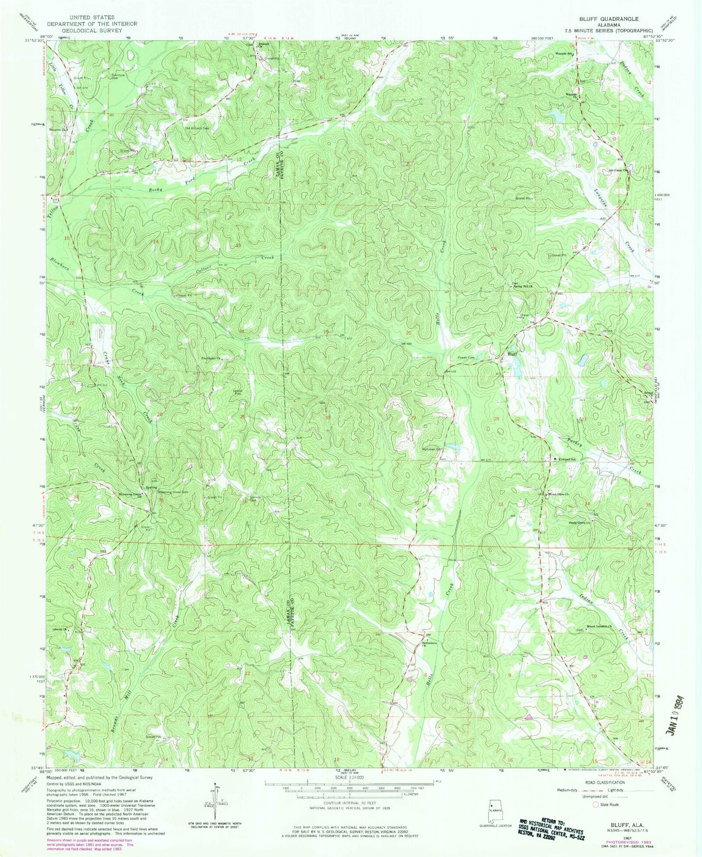
Historical USGS topographic quad map of Bluff in the state of Alabama. Map scale may vary for some years, but is generally around 1:24,000. Print size is approximately 24" x 27"
This quadrangle is in the following counties: Fayette, Lamar.
The map contains contour lines, roads, rivers, towns, and lakes. Printed on high-quality waterproof paper with UV fade-resistant inks, and shipped rolled.
Contains the following named places: Antioch Baptist Church, Antioch Cemetery, Bethabara Baptist Church, Bethabara School, Bethel Cemetery, Bethel Church, Bethel School, Blooming Grove, Blooming Grove Cemetery, Blooming Grove Church, Blooming Grove Gas Field, Blowhorn, Blowhorn Creek Gas Field, Bluff, Bluff Gas Field, Bluff Oil Field, Center School, Central Bluff Oil Field, Collier Creek, Corinth Cemetery, Corinth Church, Corinth Gas Field, Crane Neck Creek, Dubose Dam, Dubose Lake, Fairview School, Holliman Cemetery, Kirkland, Kirkland - Bluff - Wayside Volunteer Fire Department Station 1, Kirkland - Bluff - Wayside Volunteer Fire Department Station 2, Kirkland Junior High School, Liberty Cemetery, Liberty Church, Little Yellow Creek, Mansfield, Middleton Post Office, Mount Lebanon Cemetery, Mount Lebanon Missionary Baptist Church, Mount Olive Church of Christ, North Bluff Oil Field, Old Antioch Cemetery, Old Union Church, Powell Cemetery, Providence Cemetery, Providence Methodist Church, Providence School, Public School Number 1, Rocky Ford Creek, Roxanna Church, Shady Grove Cemetery, Shady Grove Church, Shady Grove School, Sizemore Cemetery, Spring Hill Cemetery, Spring Hill Church, Union Cemetery, Wayside Junior High School, Wayside Methodist Church