
MyTopo
Classic USGS Bowdon West Georgia 7.5'x7.5' Topo Map
Couldn't load pickup availability
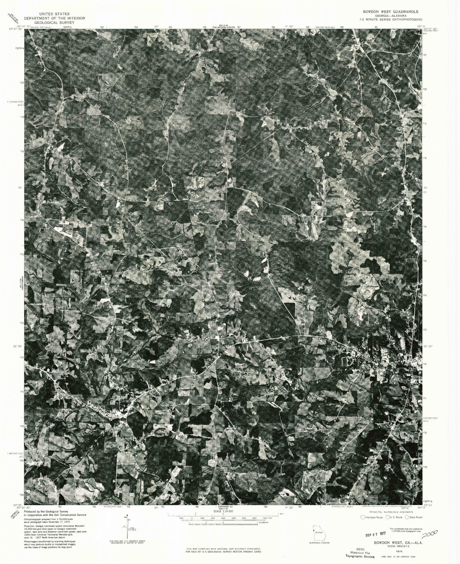
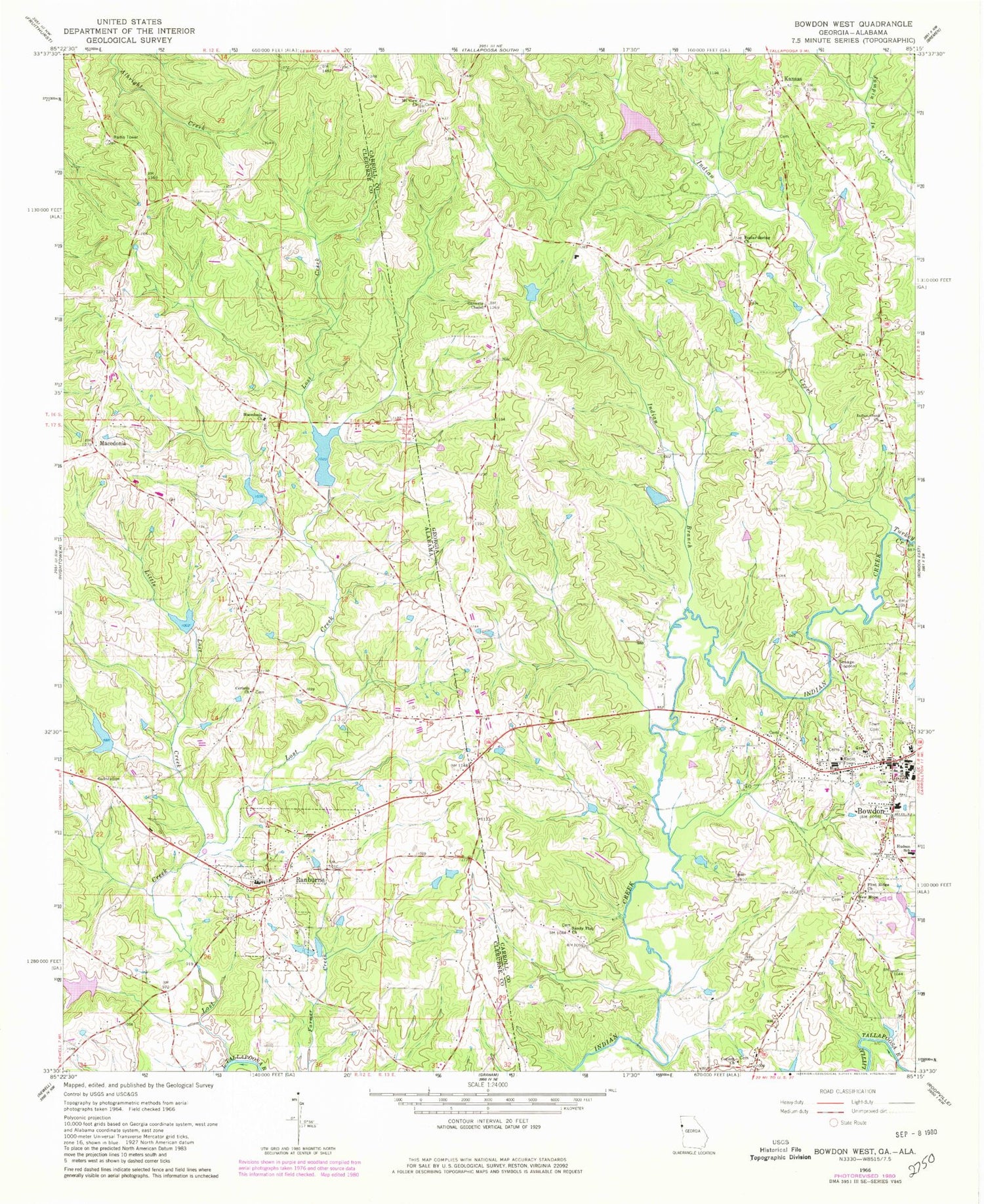
Historical USGS topographic quad map of Bowdon West in the states of Georgia, Alabama. Typical map scale is 1:24,000, but may vary for certain years, if available. Print size: 24" x 27"
This quadrangle is in the following counties: Carroll, Cleburne, Randolph.
The map contains contour lines, roads, rivers, towns, and lakes. Printed on high-quality waterproof paper with UV fade-resistant inks, and shipped rolled.
Contains the following named places: Garretts Chapel, Hudson School, Indian Creek, Indian Creek Church, Kansas, Mount View Church, New Hope Church, Poplar Spring Church, Sandy Flat Church, Town Cemetery, Turkey Creek, Teague Lake, Stitcher Lake Dam, Stitcher Lake, Zuejnieks Lake Dam, Zuejnieks Lake, Garretts Chapel Cemetery, Hillcrest School (historical), Indian Creek Cemetery, Indian Creek School (historical), Kansas Cemetery, Kansas Missionary Baptist Church, Lovvarn Mill (historical), Melrose School (historical), Mount View Cemetery, Poplar Springs Cemetery, Sandy Flat Cemetery, Warren P Sewell Memorial Library, Bowdon Area Hospital, Bowdon Baptist Cemetery, Bowdon Baptist Church, Bowdon City Cemetery, Bowdon City Hall, Bowdon Elementary School, Bowdon High School, Bowdon Post Office, Colefield School (historical), Corinth Cemetery, Bowdon First United Methodist Cemetery, First Methodist Church, Cedar Valley, Bowdon, Corinth Church, Flint Ridge Church, City of Bowdon, Carroll County Crossroads Academy, Bowdon Open Campus High School, Carroll County Fire / Rescue Station 14, Bowdon Police Department, Bowdon City Jail, Bowdon Church Cemetery, Bowdon Church of God in Christ Cemetery, New Hope Cemetery, Corinth Church, Little Lost Creek, Lost Creek, Macedonia Baptist Church, Robinson Lake Number 2, Robinson Number 2 Dam, Lost Creek Lake Number 4, Lost Creek Watershed Dam Number 4, Lost Creek Lake Number 3, Lost Creek Watershed Dam Number 3, Lost Creek Lake Number 2, Lost Creek Watershed Dam Number 2, Lost Creek Watershed Dam Number 1, Lost Creek Lake Number 1, Chewacla Lime Works (historical), Andersons Store (historical), Central Church (historical), Cleburne Memorial Gardens, Cooks Mill (historical), Gibbs Store (historical), Overton School (historical), Ranburne High School, Robinsons Store (historical), Skinners Store (historical), Woodrow School (historical), Macedonia School (historical), Ranburne, Solomon (historical), Macedonia, Winston Post Office (historical), Bulldog Stadium, Macedonia Cemetery, Town of Ranburne, Ranburne Fire and Rescue, Ranburne Town Police Department, Ranburne Post Office


