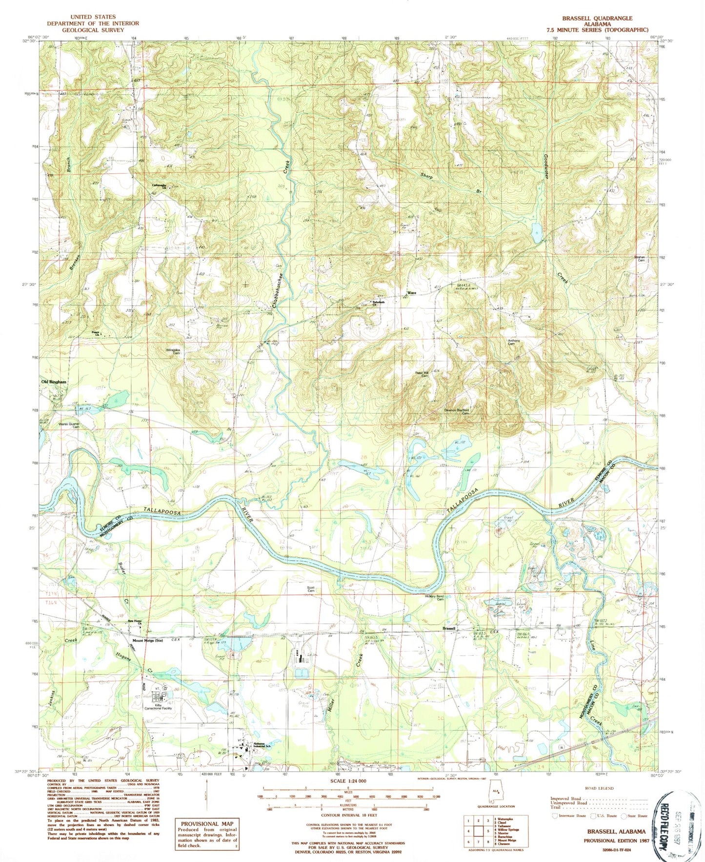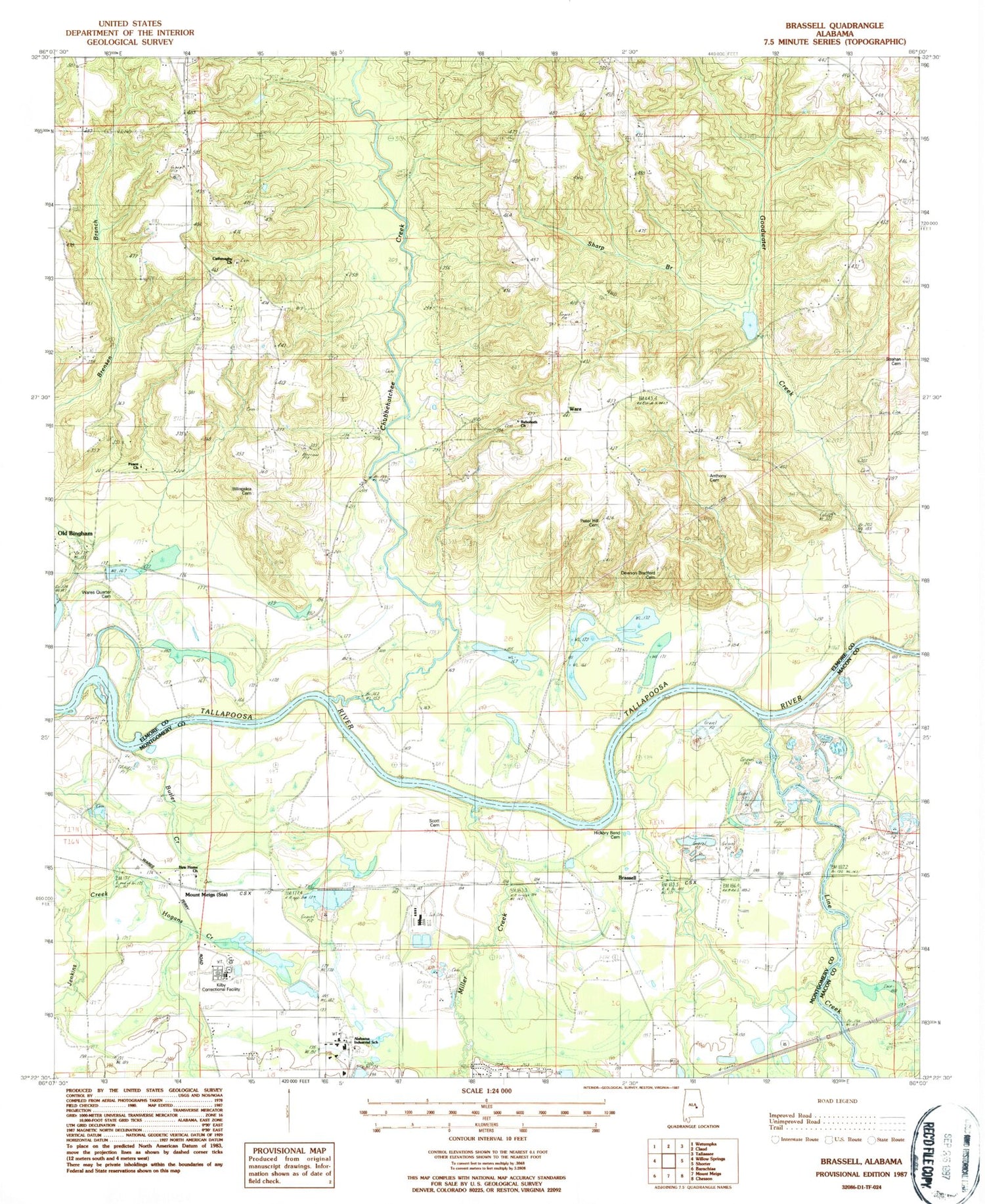

MyTopo
Classic USGS Brassell Alabama 7.5'x7.5' Topo Map
Couldn't load pickup availability
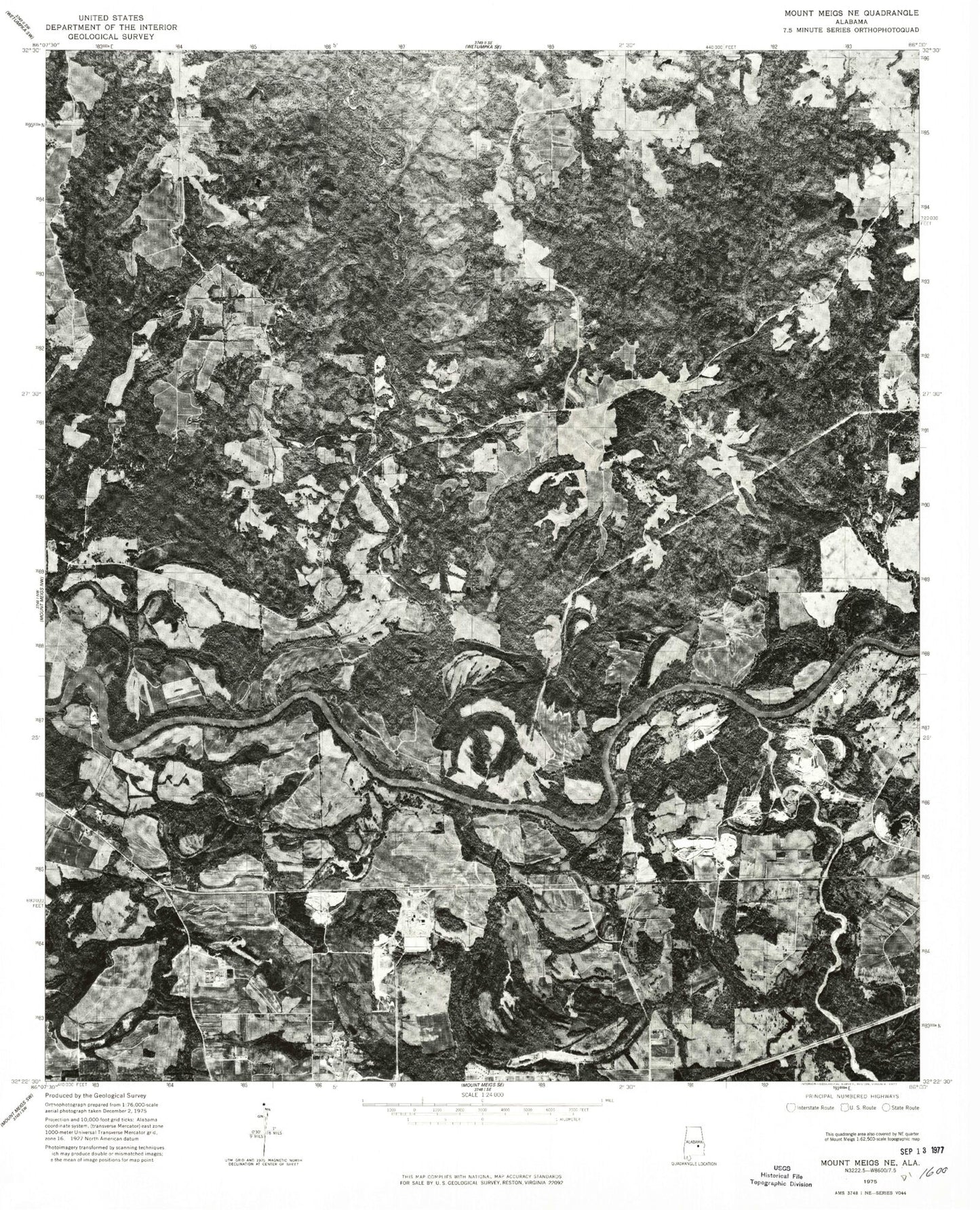
Historical USGS topographic quad map of Brassell in the state of Alabama. Map scale may vary for some years, but is generally around 1:24,000. Print size is approximately 24" x 27"
This quadrangle is in the following counties: Elmore, Macon, Montgomery.
The map contains contour lines, roads, rivers, towns, and lakes. Printed on high-quality waterproof paper with UV fade-resistant inks, and shipped rolled.
Contains the following named places: Alabama Industrial School, Anthony Cemetery, Bethany Church, Billingslea Cemetery, Brassell, Carters Creek, Cathmagby Church, Cathmagby School, Chubbehatchee Creek, Dawson Bradford Cemetery, Emerald Mountain Airport, Emerald Mountain Census Designated Place, Emerald Mountain Volunteer Fire Department, Fusihatchi, Goodwater Creek, Hickory Bend Cemetery, Hoithlewalli, Jenkins Creek, Kilby Correctional Facility, Line Creek, Miller Creek, Mount Meigs Medical and Diagnostic Center, Mount Meigs Station, New Hope Church, Peace Church, Peace School, Peter Hill Cemetery, Poundstone Dam, Poundstone Lake, Redland Church, Rehoboth Church, Rosenwald School, Saint Johns Church, Scott Cemetery, Sharp Branch, Strahan Cemetery, Tysonville Ferry, Ware, Ware Ferry, Wares Quarter Cemetery