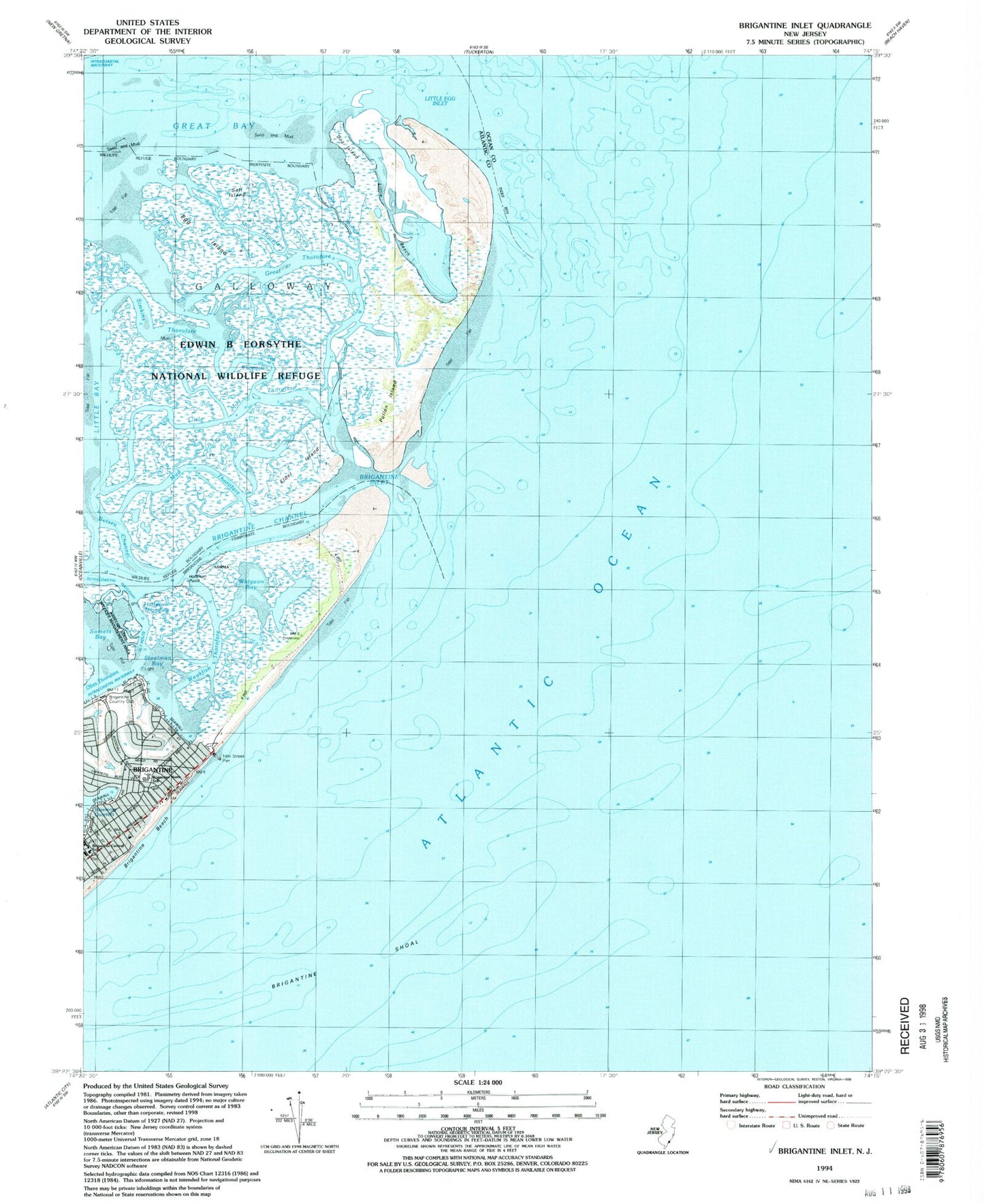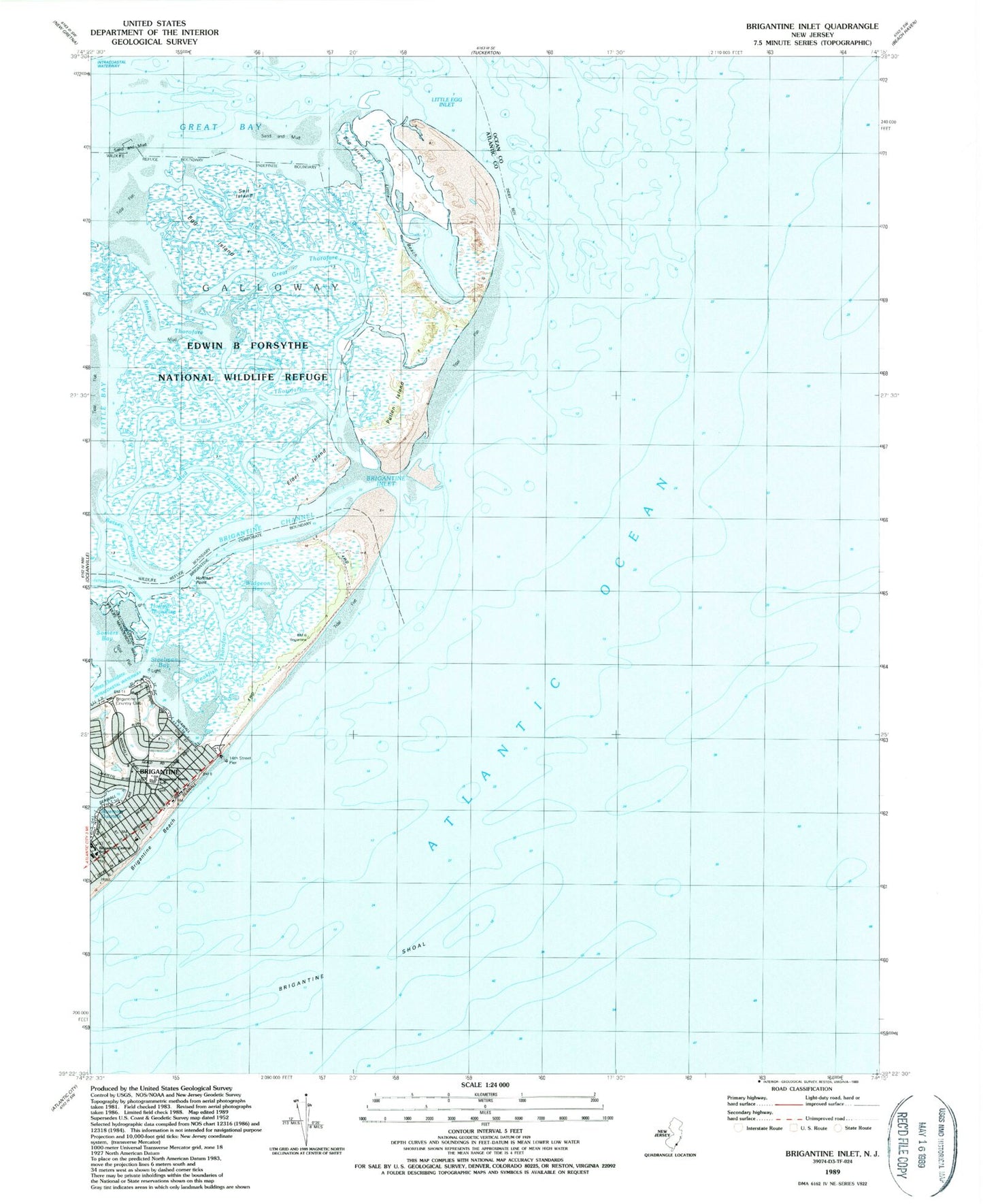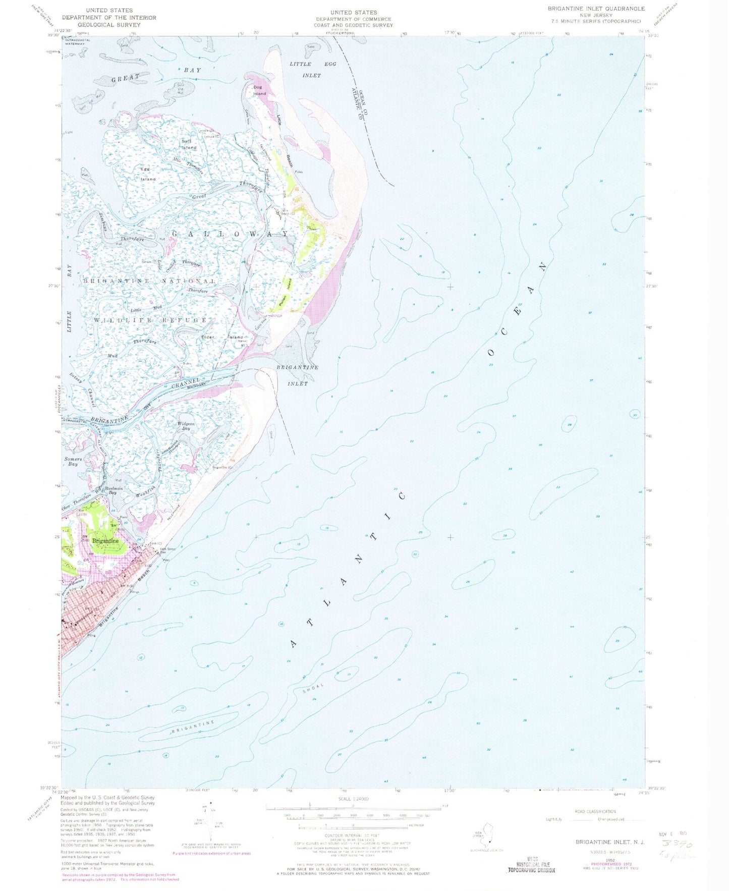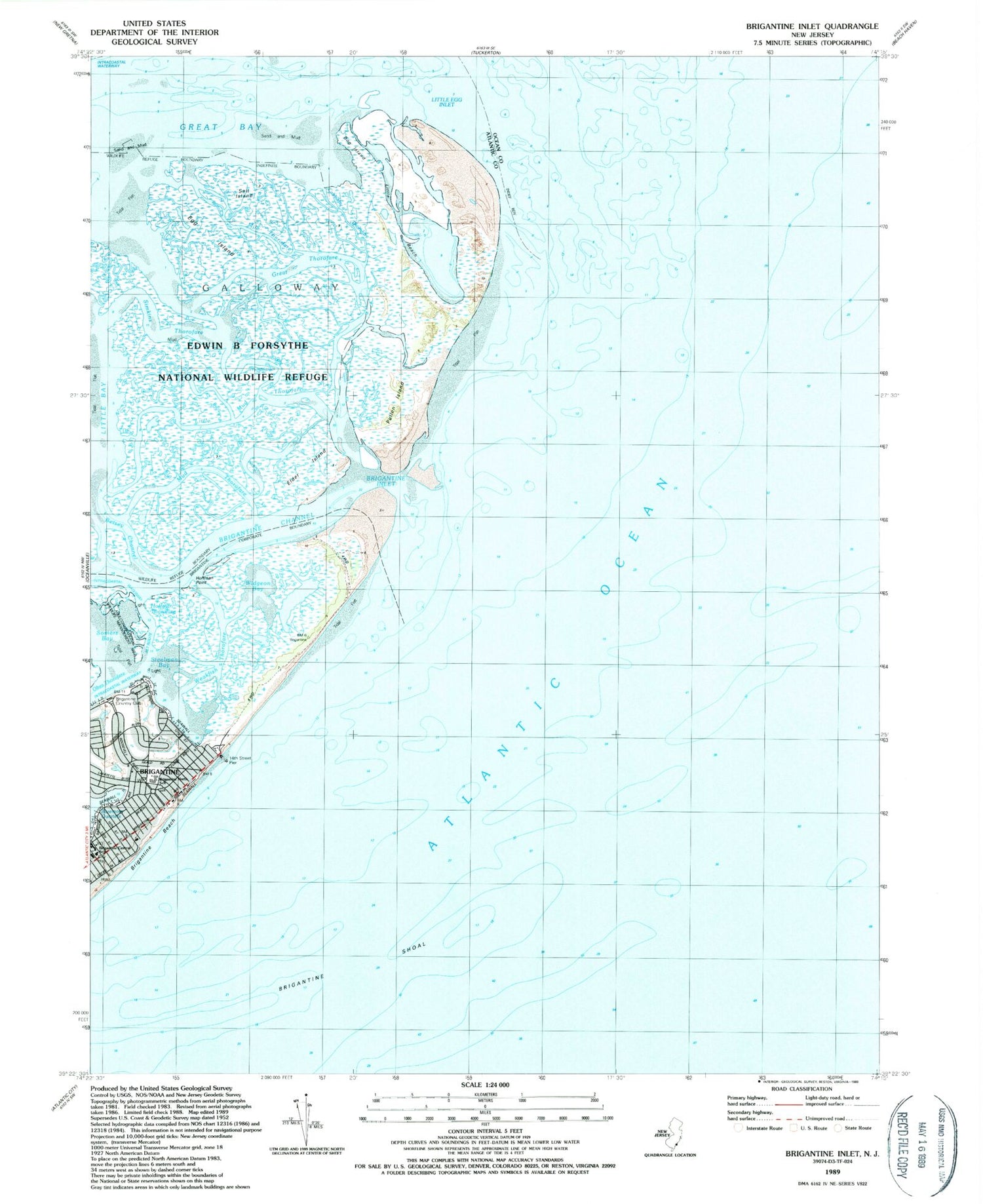

MyTopo
Classic USGS Brigantine Inlet New Jersey 7.5'x7.5' Topo Map
Couldn't load pickup availability
Historical USGS topographic quad map of Brigantine Inlet in the state of New Jersey. Map scale may vary for some years, but is generally around 1:24,000. Print size is approximately 24" x 27"
This quadrangle is in the following counties: Atlantic, Ocean.
The map contains contour lines, roads, rivers, towns, and lakes. Printed on high-quality waterproof paper with UV fade-resistant inks, and shipped rolled.
Contains the following named places: Baremore Quarters, Betsey Channel, Brigantine, Brigantine Beach Patrol, Brigantine Central School, Brigantine Channel, Brigantine City Hall, Brigantine Country Club, Brigantine Fire Department, Brigantine Inlet, Brigantine North School, Brigantine Police Department, Brigantine Shoal, Cabbage Thorofare, Dog Island, Egg Island, Elder Island, Fourteenth Street Pier, Great Thorofare, Hoffman Point, Hoffman Thorofare, Island Beach, Little Beach, Little Crooked Thorofare, Little Egg Inlet, Little Mud Thorofare, Little Weakfish Thorofare, Mile Thorofare, Mud Thorofare, Pullen Island, Salt Island, Simkins Thorofare, Somers Bay, Steelman Bay, Weakfish Thorofare, Widgeon Bay