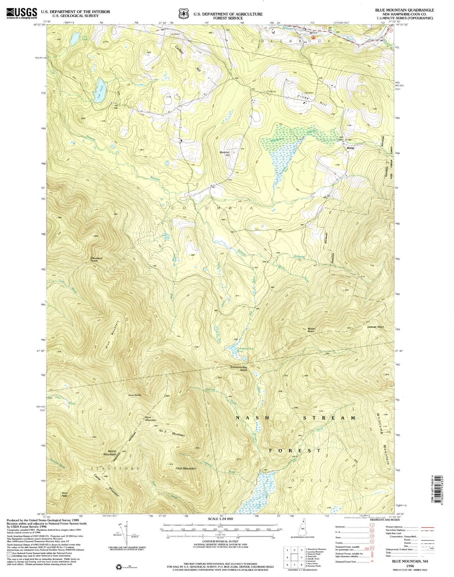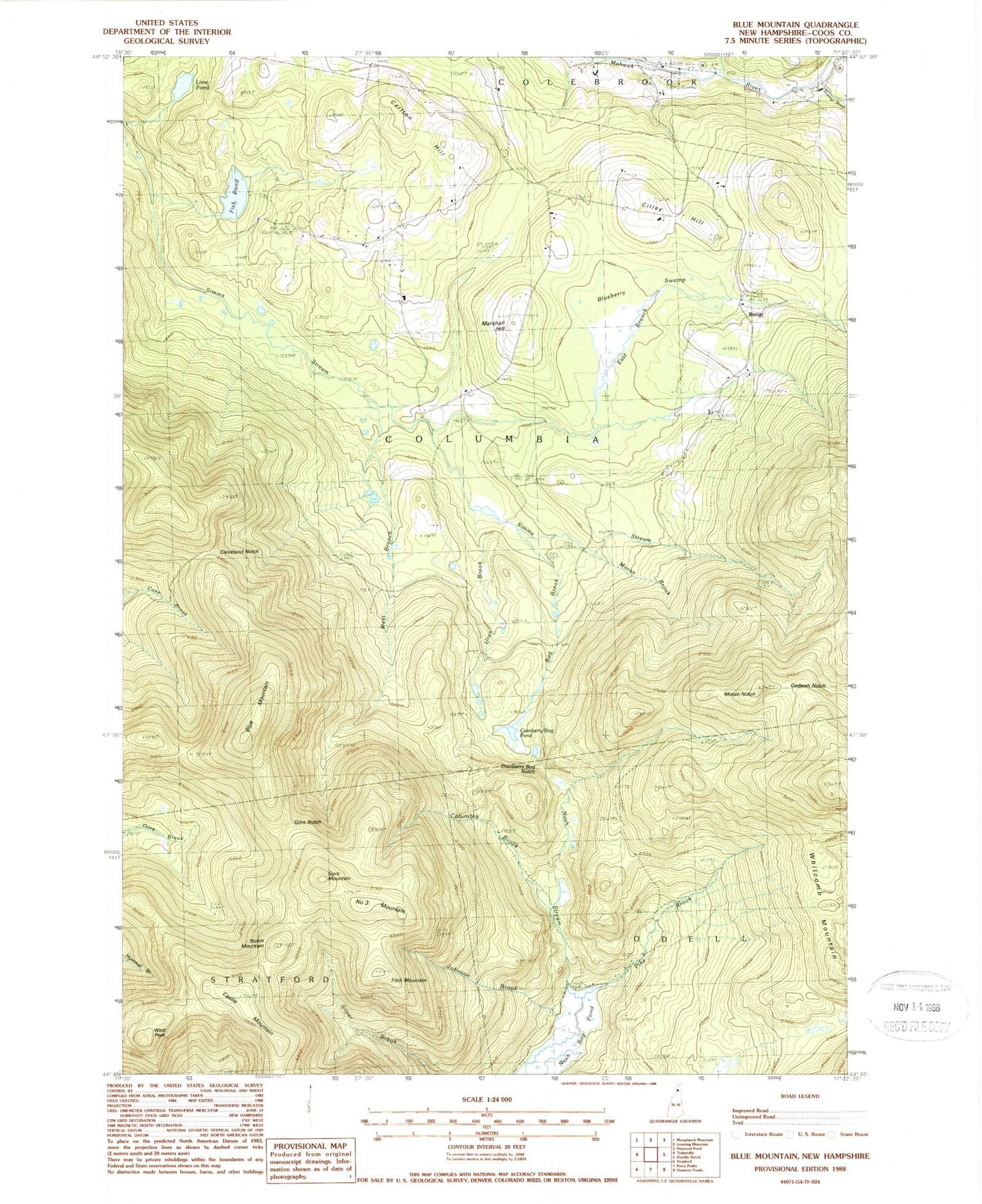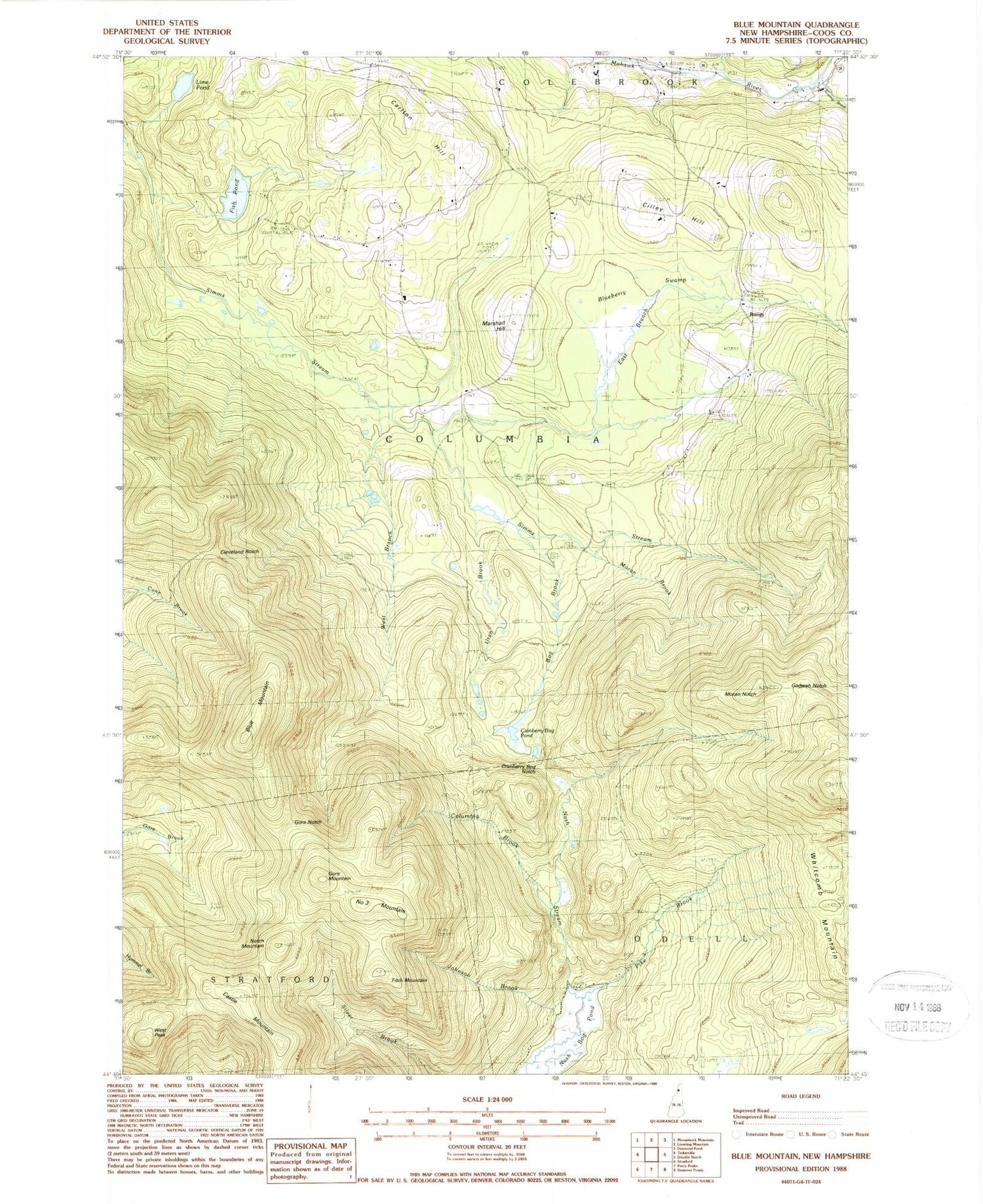
MyTopo
Classic USGS Bunnell Mountain New Hampshire 7.5'x7.5' Topo Map
Couldn't load pickup availability
Historical USGS topographic quad map of Bunnell Mountain in the state of New Hampshire. Typical map scale is 1:24,000, but may vary for certain years, if available. Print size: 24" x 27"
This quadrangle is in the following counties: Coos.
The map contains contour lines, roads, rivers, towns, and lakes. Printed on high-quality waterproof paper with UV fade-resistant inks, and shipped rolled.
Contains the following named places: Bunnell Mountain, Blueberry Swamp, Bog Brook, Carlton Hill, Castle Mountain, Cilley Hill, Cleveland Notch, Cleveland School, Columbia Brook, Cranberry Bog Notch, Cranberry Bog Pond, East Branch Simms Stream, East Columbia Church, Fish Pond, Fitch Mountain, Gadwah Notch, Gore Mountain, Gore Notch, Grand Vision School, Johnson Brook, Lime Pond, Marshall Hill, Mohawk School, Moran Brook, Moran Notch, Nash Bog Pond, Number Three Brook (historical), Notch Mountain, Pike Brook, Roaring Brook, Union School, Uran Brook, West Branch Simms Stream, West Peak, Bungy, Town of Columbia, Lime Pond Dam, Muise Mountain