MyTopo
Classic USGS Calhoun Alabama 7.5'x7.5' Topo Map
Couldn't load pickup availability
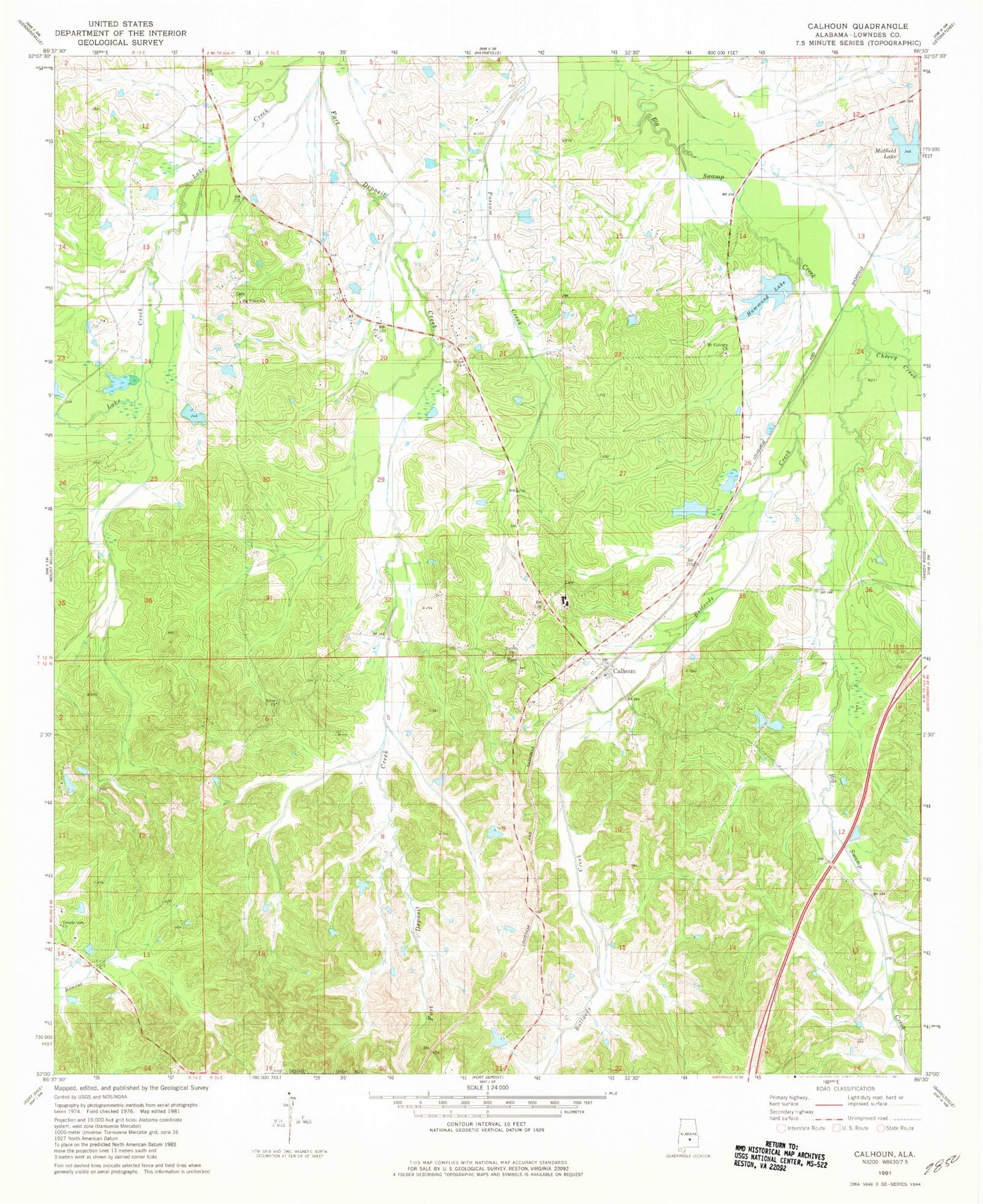
Historical USGS topographic quad map of Calhoun in the state of Alabama. Map scale may vary for some years, but is generally around 1:24,000. Print size is approximately 24" x 27"
This quadrangle is in the following counties: Lowndes.
The map contains contour lines, roads, rivers, towns, and lakes. Printed on high-quality waterproof paper with UV fade-resistant inks, and shipped rolled.
Contains the following named places: Ballards Creek, Ben Spear Dam, Big Union Church, Calhoun, Calhoun School, Cherry Creek, Church of the Living God, Collins Lake, Crenshaws Store, Fort Deposit Division, Gilmer Hills, Hammond Lake, Hammond Number One Dam, Hammond Number Two Dam, Hartleys Pond, Lanes Pond, Lee Place Church, Midfield Lake, Moore Pond, Mount Calvary Baptist Church, New Hope Church, Olson Pond, Ramah Baptist Church, Salem Cemetery, Salem Church, Skidl Hill, Spear Lake, Temple Gate Church, ZIP Code: 36047