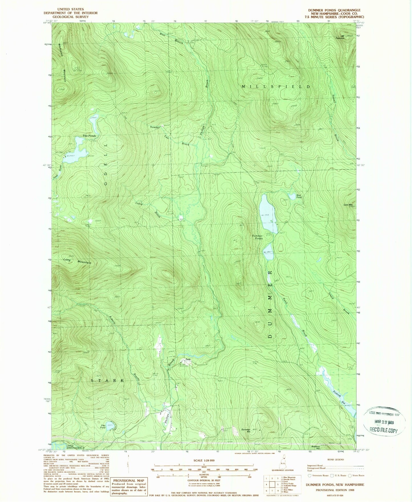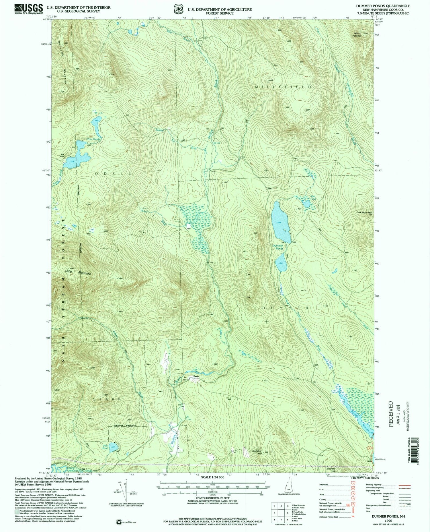

MyTopo
Classic USGS Dummer Ponds New Hampshire 7.5'x7.5' Topo Map
Regular price
$16.95
Regular price
Sale price
$16.95
Unit price
per
Couldn't load pickup availability
Historical USGS topographic quad map of Dummer Ponds in the state of New Hampshire. Typical map scale is 1:24,000, but may vary for certain years, if available. Print size: 24" x 27"
This quadrangle is in the following counties: Coos.
The map contains contour lines, roads, rivers, towns, and lakes. Printed on high-quality waterproof paper with UV fade-resistant inks, and shipped rolled.
Contains the following named places: Cow Mountain, Dummer Hill, Dummer Ponds, Jodrie Brook, Mud Pond, Number Two Brook, Mount Patience, Pike Pond, Pond Brook, Roberts Brooks, Trio Ponds, West Branch Phillips Brook, Whitcomb Mountain, Paris (historical), Coos County, Town of Dummer, Trio Pond Western Dam, Trio Pond