MyTopo
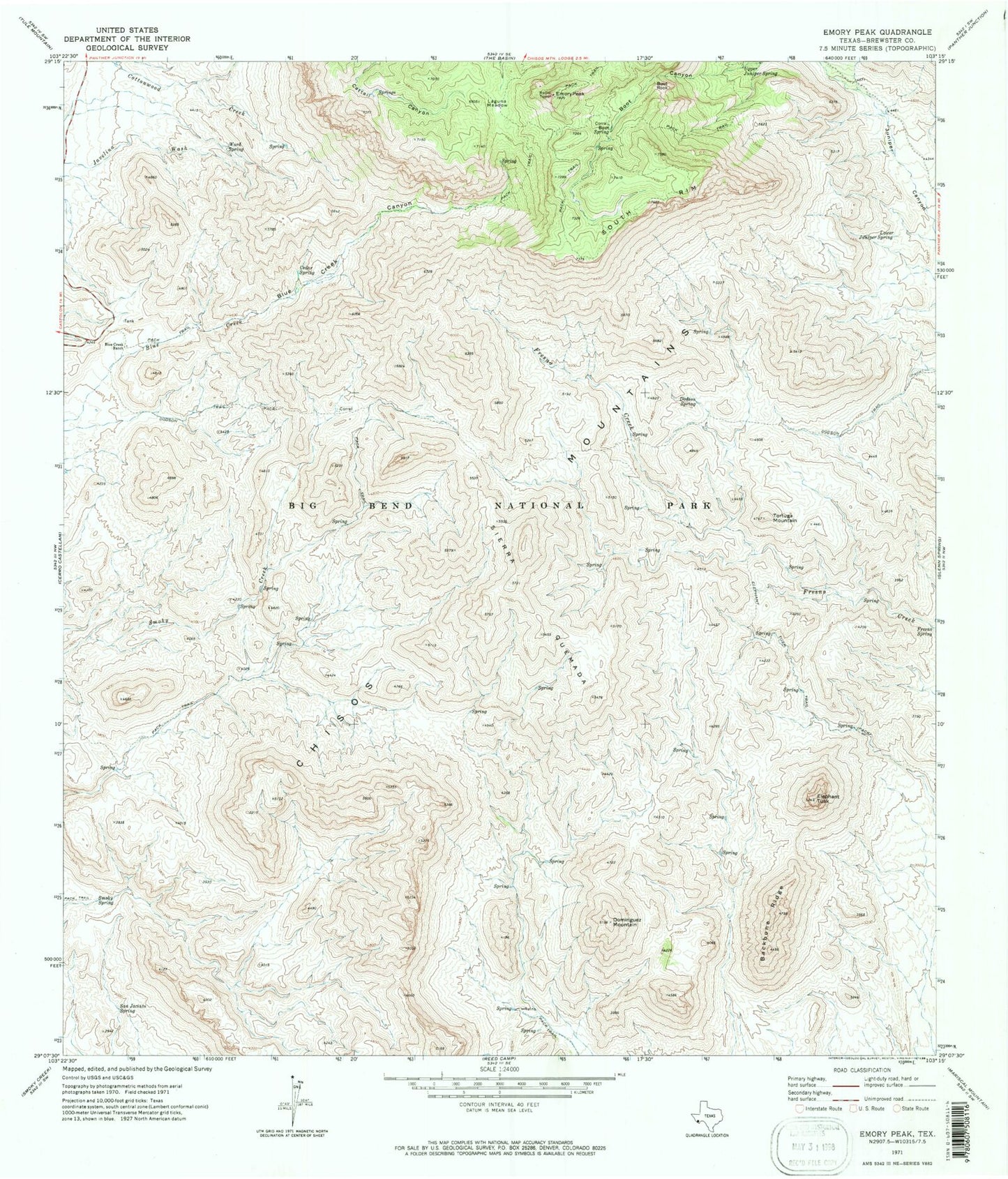
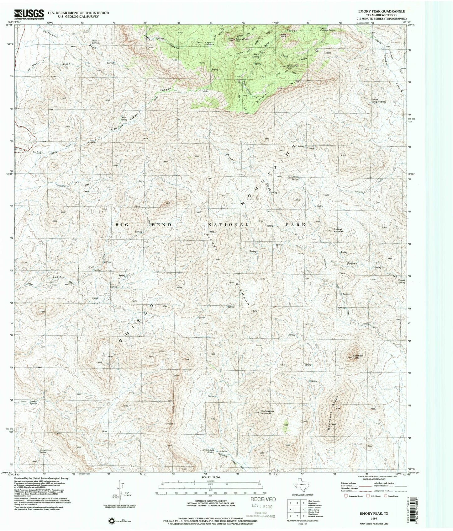
USGS Classic Emory Peak Texas 7.5'x7.5' Topo Map
Couldn't load pickup availability
Historical USGS topographic quad map of Emory Peak in the state of Texas. Scale: 1:24000. Print size: 24" x 27"
This quadrangle is in the following counties: Brewster.
The map contains contour lines, roads, rivers, towns, lakes, and grids including latitude / longitude and UTM / MGRS. Printed on high-quality waterproof paper with UV fade-resistant inks.
Contains the following named places: Backbone Ridge, Blue Creek Canyon, Blue Creek Ranch, Boot Rock, Cedar Spring, Dodson Spring, Dodson Trail, Dominguez Mountain, Elephant Tusk Trail, Emory Peak, Lower Juniper Spring, San Jacinto Spring, Sierra Quemada, Smoky Spring, South Rim, Tortuga Mountain, Upper Juniper Spring, Townsend Point, Elephant Tusk, Laguna Meadow, Ward Spring, Chisos Mountains, Carousel Mountain, Southeast Rim Keyhole, Boot Springs (historical), Dodson Ranch Trail, Elephant Tusk Trail, Emory Peak Trail, Blue Creek Trail, Ward Spring Trail, South Rim Trail - Boot Springs Trail, Outer Mountain Loop, Laguna Meadows - Pinnacles Trail