MyTopo
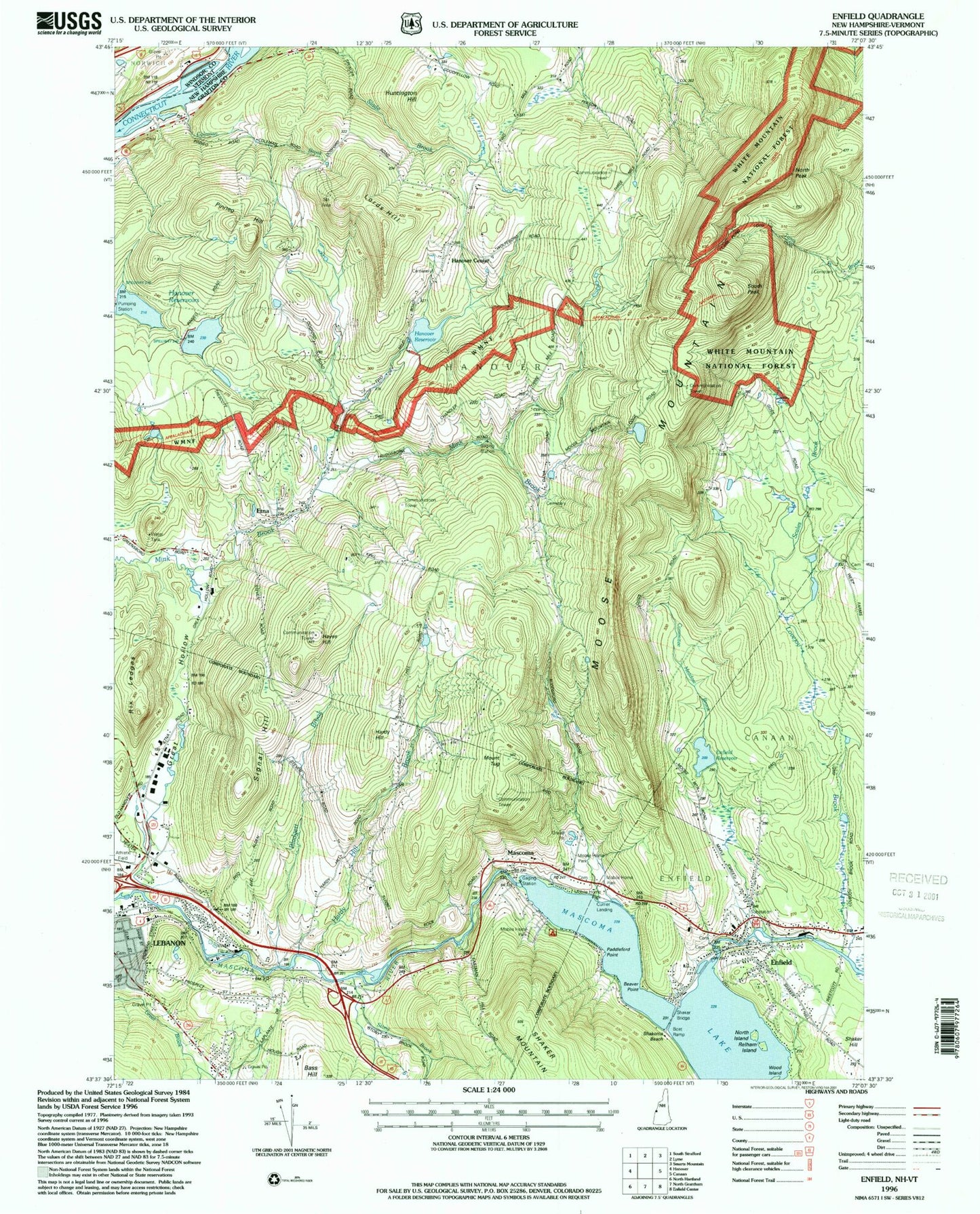
Classic USGS Enfield New Hampshire 7.5'x7.5' Topo Map
Couldn't load pickup availability
Historical USGS topographic quad map of Enfield in the state of New Hampshire. Typical map scale is 1:24,000, but may vary for certain years, if available. Print size: 24" x 27"
This quadrangle is in the following counties: Grafton, Windsor.
The map contains contour lines, roads, rivers, towns, and lakes. Printed on high-quality waterproof paper with UV fade-resistant inks, and shipped rolled.
Contains the following named places: Arvin School, Blodgett Brook, Enfield, Enfield Reservoir, Etna, Etna Highlands, Goss Neighborhood School, Great Hollow, Hanover Center, Hanover Reservoirs, Hardy Hill Brook, Hardy Hill School, Hayes Hill, Huntington Hill, Lords Hill, Mascoma, Mascoma Lake, Moose Mountain, North Neighborhood School, North Peak, Pinneo Hill, Pinneo School, Prospect Hill, Rix Ledges, Ruddsboro School, Scales Brook, Signal Hill, South Peak, Stony Brook, Mount Tug, WHED-TV (Hanover), Town of Hanover, Lower Reservoir Dam, Upper Reservoir Dam, Hanover Center Reservoir Dam, Hanover Reservoir, Mascoma Lake Dam, Baltic Mills Dam, Enfield Reservoir Dam, College for Lifelong Learning, Curriers Mobile Home Park, Enfield City Hall, Enfield Village School, Enfield Post Office, Etna Post Office, Etna Road Industrial Park, Fletcher Reservoir, Lebanon High School, Lebanon Junior High School, Lebanon Memorial Pool, LeBruns Mobile Home Park, Olympic Mobile Home Park, Packard Hill Bridge, Parker Reservoir, Enfield Census Designated Place, Runnemede School, Montessori Childrens School, Wood Island, Enfield Fire Department Union Street Station, Hanover Fire Department Etna Station, Walhowdon Orchard, Enfield First Aid Stabilization Team Squad, Enfield Police Department, Oak Grove Cemetery