MyTopo
Classic USGS Exeter New Hampshire 7.5'x7.5' Topo Map
Couldn't load pickup availability
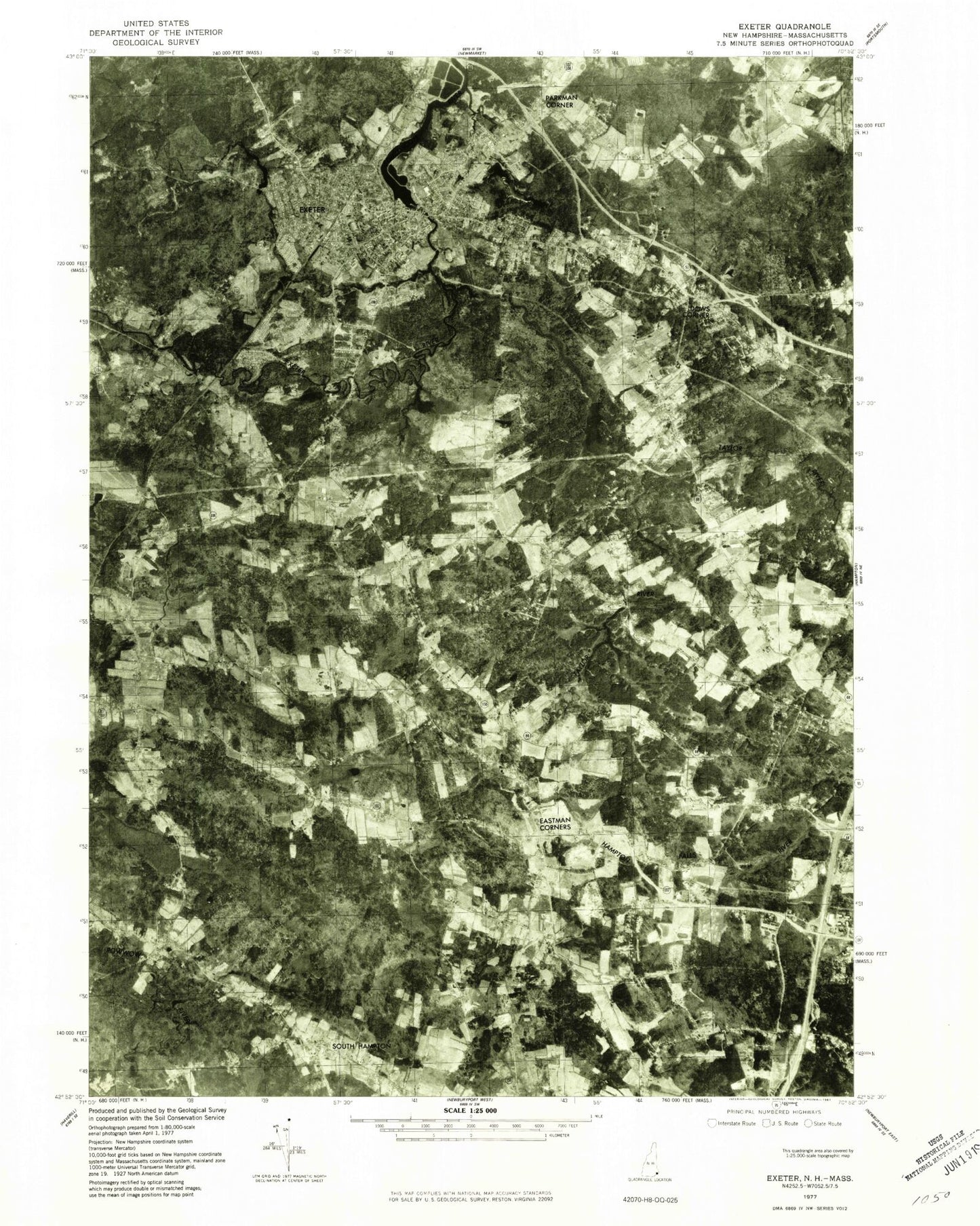
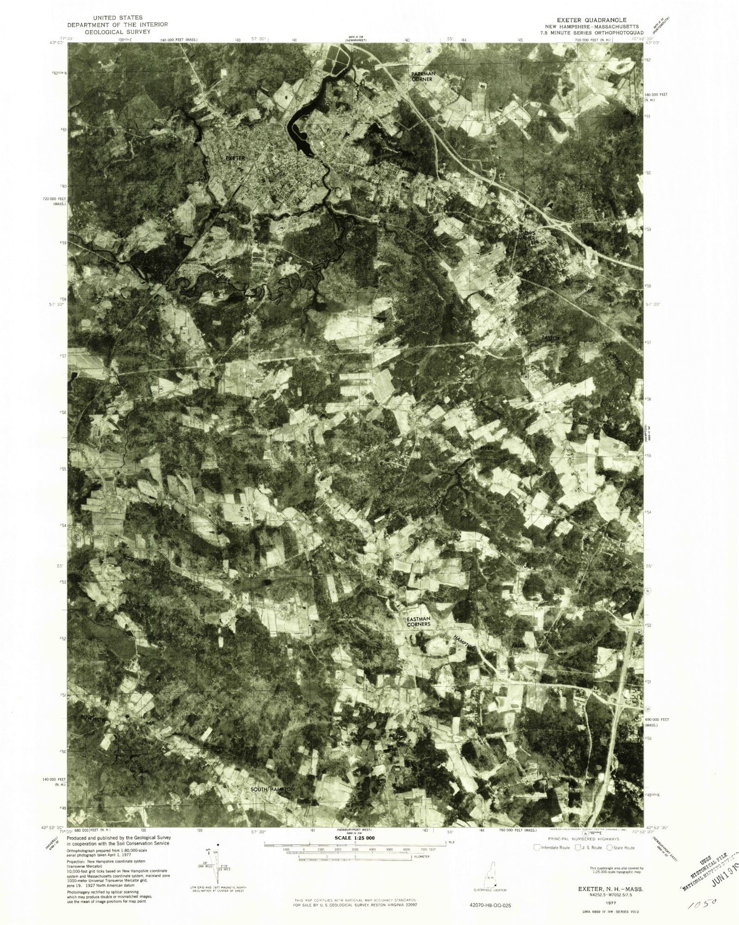
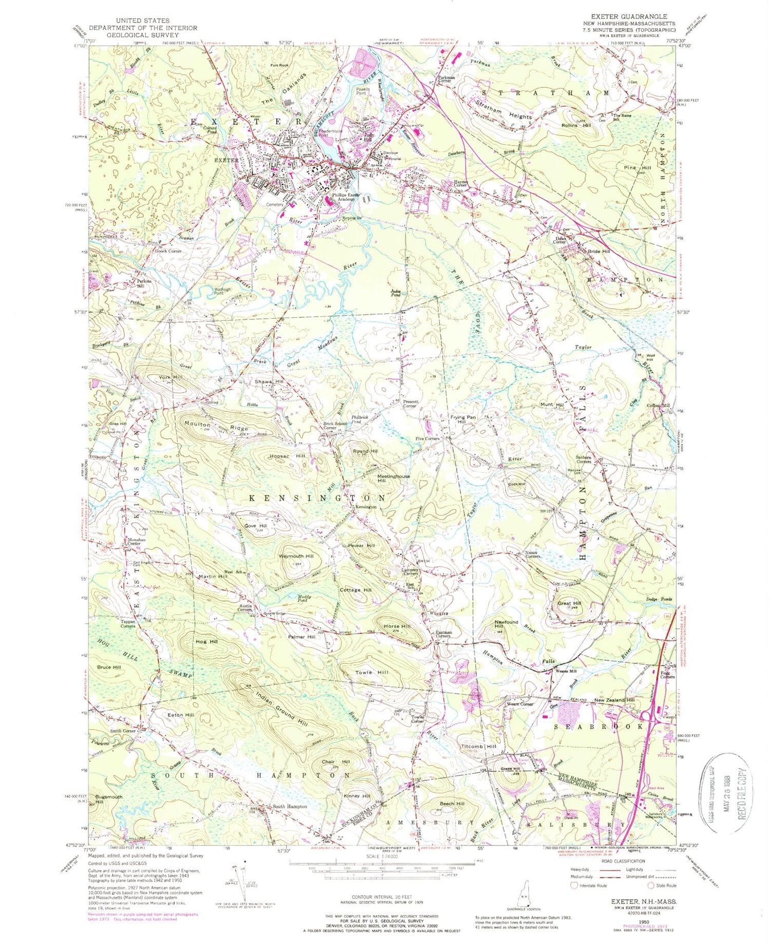
Historical USGS topographic quad map of Exeter in the states of New Hampshire, Massachusetts. Typical map scale is 1:24,000, but may vary for certain years, if available. Print size: 24" x 27"
This quadrangle is in the following counties: Essex, Rockingham.
The map contains contour lines, roads, rivers, towns, and lakes. Printed on high-quality waterproof paper with UV fade-resistant inks, and shipped rolled.
Contains the following named places: Phillips Park, Ash Brook, Austin Corners, Bloody Brook, Brick School Corner, Brickyard Brook, Bride Hill, Bruce Hill, Bugsmouth Hill, Chair Hill, Clay Brook, Cock Hill, Coffins Mill, Colcord Pond, Cottage Hill, Dearborn Brook, Dows Corner, Dudley Brook, East Kingston Cemetery, East School, Eastman Corners, Eaton Hill, Exeter, Exeter Reservoir, Five Corners, Fogg Corners, Fort Rock, Frying Pan Hill, Giles Hill, Gooch Corner, Gove Brook, Gove Hill, Grassy Brook, Great Brook, Great Hill, Great Meadows, Haynes Corner, Hobbs Brook, Hog Hill, Hog Hill Swamp, Hoosac Hill, Horse Hill, Indian Ground Hill, Jady Hill, Judes Pond, Kensington, Kinney Hill, Lamprey Corners, Little River, Martin Hill, Meetinghouse Hill, Mill Brook, Monahan Corners, Moulton Ridge, Muddy Pond, Munt Hill, Nason Corners, New Zealand Hill, Newfound Hill, Norris Brook, Old River, Palmer Hill, Parkman Brook, Parkman Corner, Perkins Brook, Perkins Hill, Pevear Hill, Philbrick Pond, Phillips Exeter Academy, Pine Hill, Powderhouse Point, Powells Point, Prescott Corner, Queens Bridge, Rollins Hill, Round Hill, Sanborn Corners, Scamen Brook, Shaws Hill, Smith Corner, South Hampton, Spring Brook, Stratham Heights, Tappan Corners, The Gove, The Oaklands, The Rains School, Titcomb Hill, Towle Hill, Towles Corner, Wadleigh Point, Weare Corner, Weares Mill, West School, Westview Cemetery, Weymouth Hill, Wheelwright Creek, Winkley Brook, Wolf Hill, York Brook, York Hill, Exeter River, Salisbury Waterworks, Tyco Pad Heliport, Exeter Hospital Heliport, Stratham Field (historical), WMYF-AM (Exeter), WPEA-FM (Exeter), Town of Exeter, Town of Hampton Falls, Town of Kensington, Town of South Hampton, Exeter Water Works Dam, Exeter River Dam 1, Exeter River Reservoir, Town of Exeter Sewerage Lagoons Dam, Town of Exeter Sewerage Lagoons Reservoir, Little River Dam, Taylor River Dam, Taylor River Reservoir, American Independence Museum, American Independence Museum Library, Applecrest Farms, Blacksnake Trailer Park, Burrows-Brookside Sanctuary, Calvary Baptist Church, Christ Episcopal Church, Christian Meeting House (historical), The Church of Jesus Christ of Latter Day Saints, East Kingston Elementary School, Exeter Area Chamber of Commerce, Great Bay Learning Charter School and Tuck Learning Center, Exeter Country Club, Exeter Elms Campground, Exeter Hospital, Seacoast School of Technology, Exeter Post Office, Exeter Presbyterian Church, Exeter Town Hall, Exeter Waterfront Commercial Historic District, Faith Lutheran Church, First Baptist Church of Exeter, First Congregational Church, Front Street Historic District, Giddinges Tavern, Gilman Garrison House, Gilman Park, Highland Road Historic District, Jewell Town District, John D Eaton State Forest, Kensington Congregational Church, Kensington Elementary School, Kensington Social and Public Library, Kensington Town Hall, Lambert Farms, Lincoln Street Elementary School, Main Street School, Phillips Exeter Academy Stadium, Powwow River State Forest, Sanborn, Sanborn-Brown Cemetery, Seabrook Park, Shaw Cemetery, Smiths Corner Historic District, South Hampton Baptist Church, South Hampton Free Public Library, South Hampton Town Green, South Hampton Town Hall, Stratham Industrial Park, Montessori School of Exeter, Town Center Historic District, Universalist Church, Wakeda Campground, Winter Street Cemetery, Pike Cemetery, Exeter Census Designated Place, Cole Farm Airport, Propwash Airport, South Hampton Barnard School, Exeter Day School, Kids Stop Child Care Center, Cooperative Middle School, Building Block School, Exeter Classical Christian School, Seacoast Episcopal Academy, South Hampton Fire / Rescue, Exeter Fire Department, Kensington Fire Department and Rescue, Careplus Ambulance Services Station 3 - Exeter, Exeter Police Station, South Hampton Police Department, Kensington Police Department, Village Cemetery, Exeter Cemetery, Peabody City Hall, Beech Hill, Grape Hill, Lucy Brook, Cider Hill Farm