MyTopo
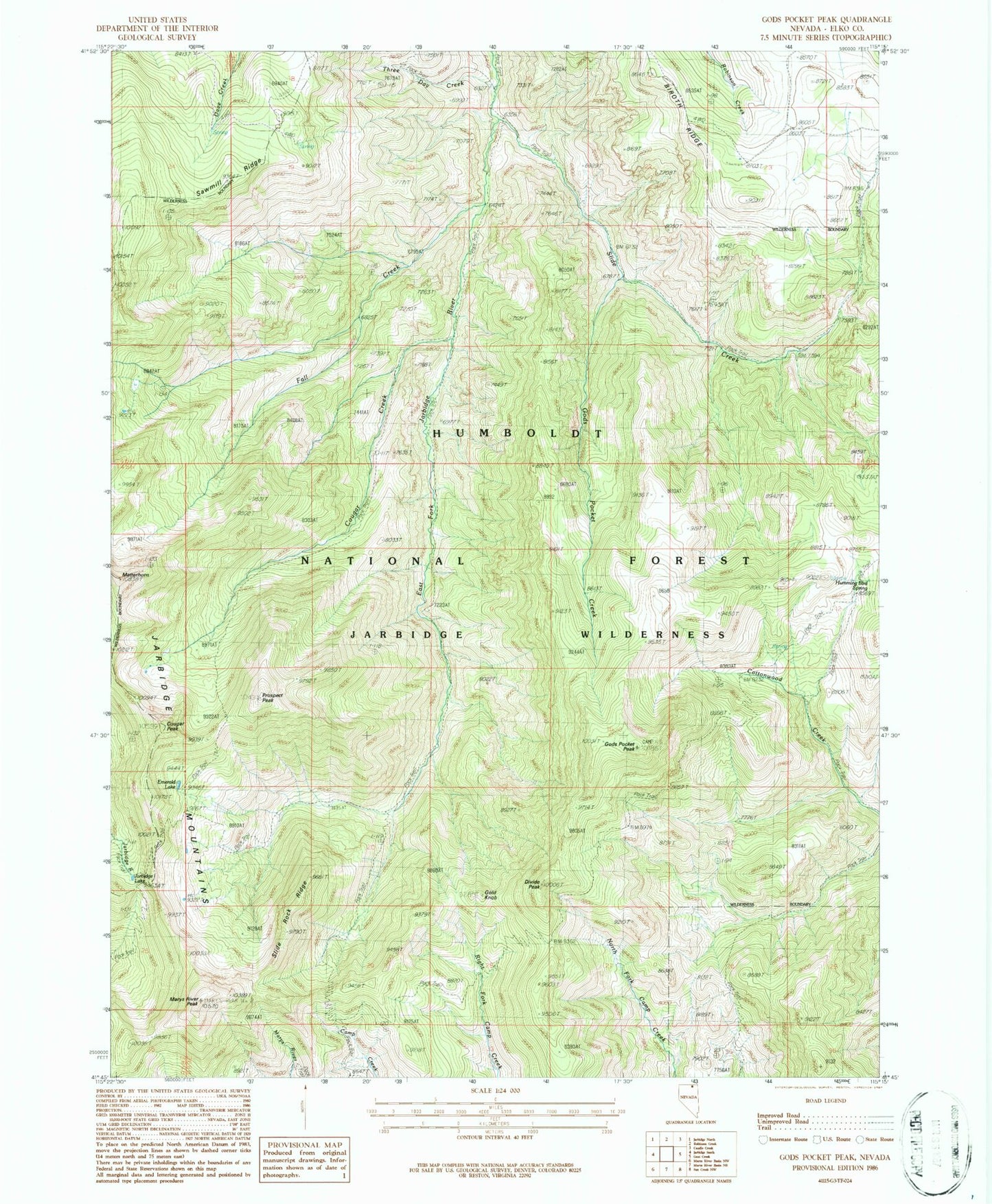
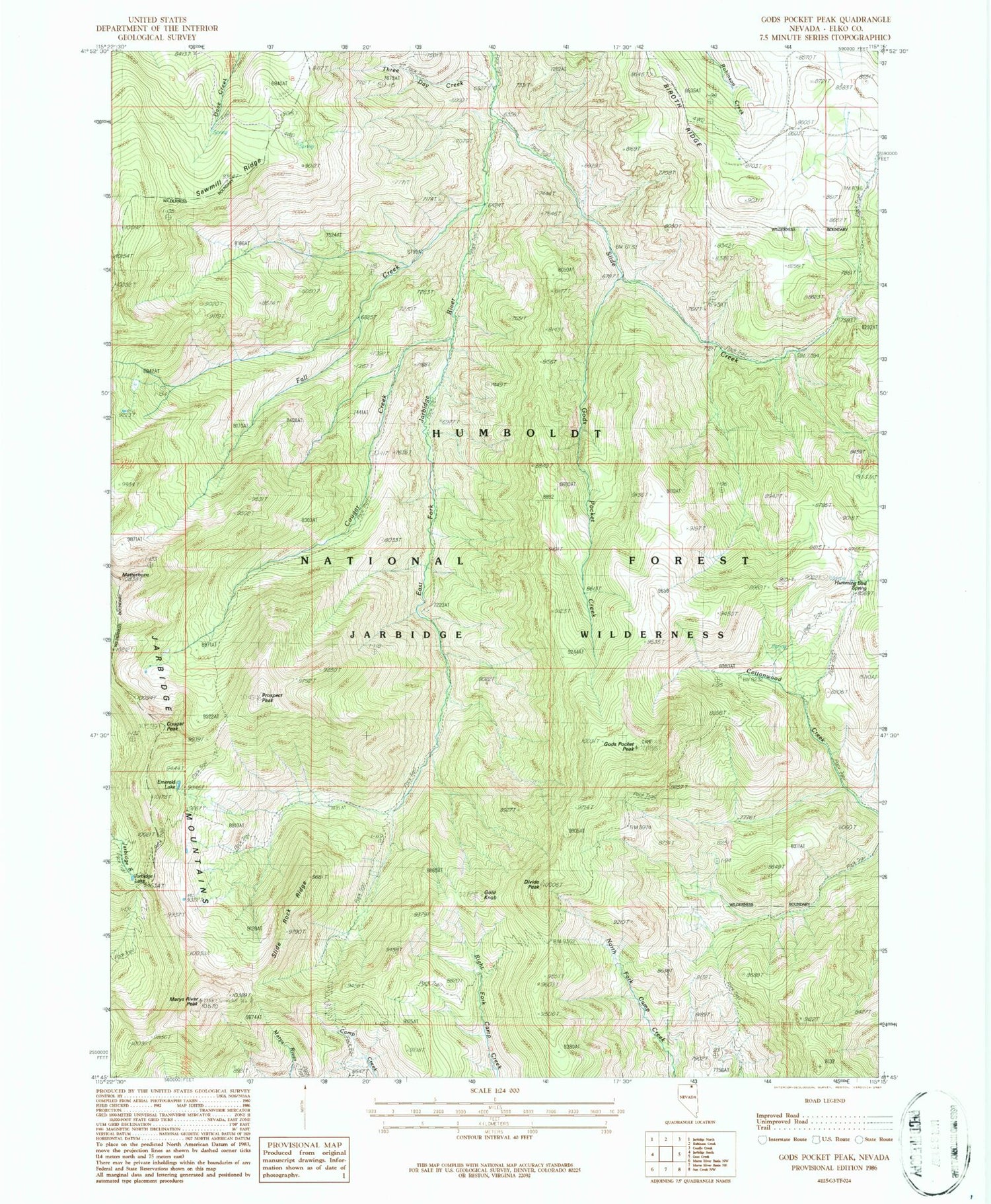
USGS Classic Gods Pocket Peak Nevada 7.5'x7.5' Topo Map
Couldn't load pickup availability
Historical USGS topographic quad map of Gods Pocket Peak in the state of Nevada. Scale: 1:24000. Print size: 24" x 27"
This quadrangle is in the following counties: Elko.
The map contains contour lines, roads, rivers, towns, lakes, and grids including latitude / longitude and UTM / MGRS. Printed on high-quality waterproof paper with UV fade-resistant inks.
Contains the following named places: Government Peak, Norman Mine, Humming Bird Spring, Biroth Ridge, Cougar Creek, Cougar Peak, Divide Peak, Emerald Lake, Fall Creek, Gods Pocket Creek, Gods Pocket Peak, Gold Knob, Jarbidge Wilderness, Marys River Peak, Matterhorn, Norman Mines, Prospect Peak, Sawmill Ridge, Slide Creek, Slide Rock Ridge, Slide Creek Trailhead, Jarbidge Lake, Three Day Creek, Jarbidge State Game Refuge, Jarbidge Ranger District - Los Alamos, Marys River Range