MyTopo
Classic USGS Greenfield New Hampshire 7.5'x7.5' Topo Map
Couldn't load pickup availability
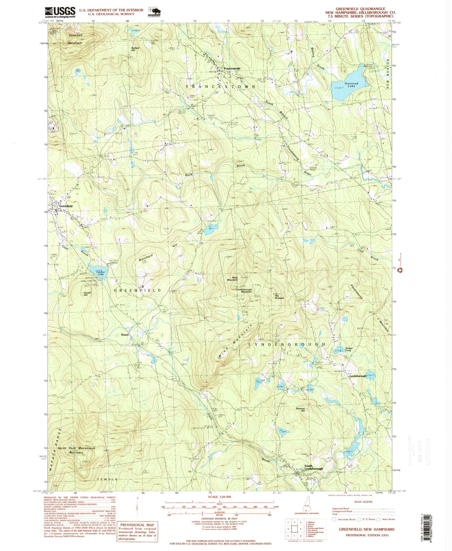
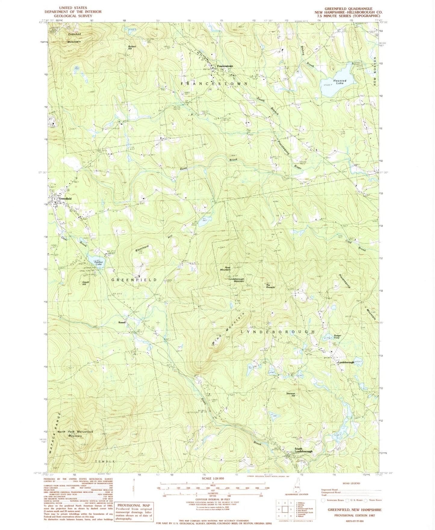
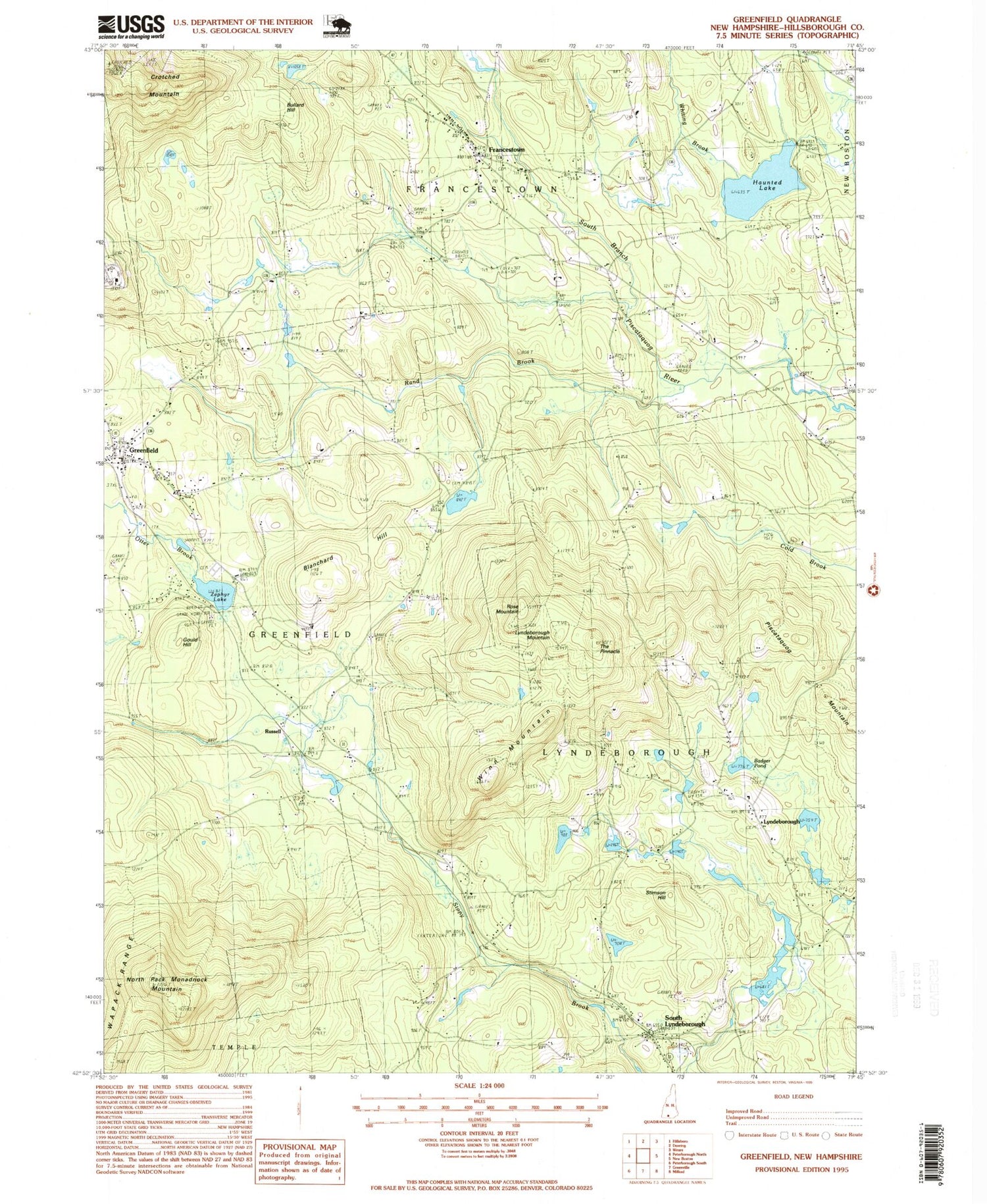
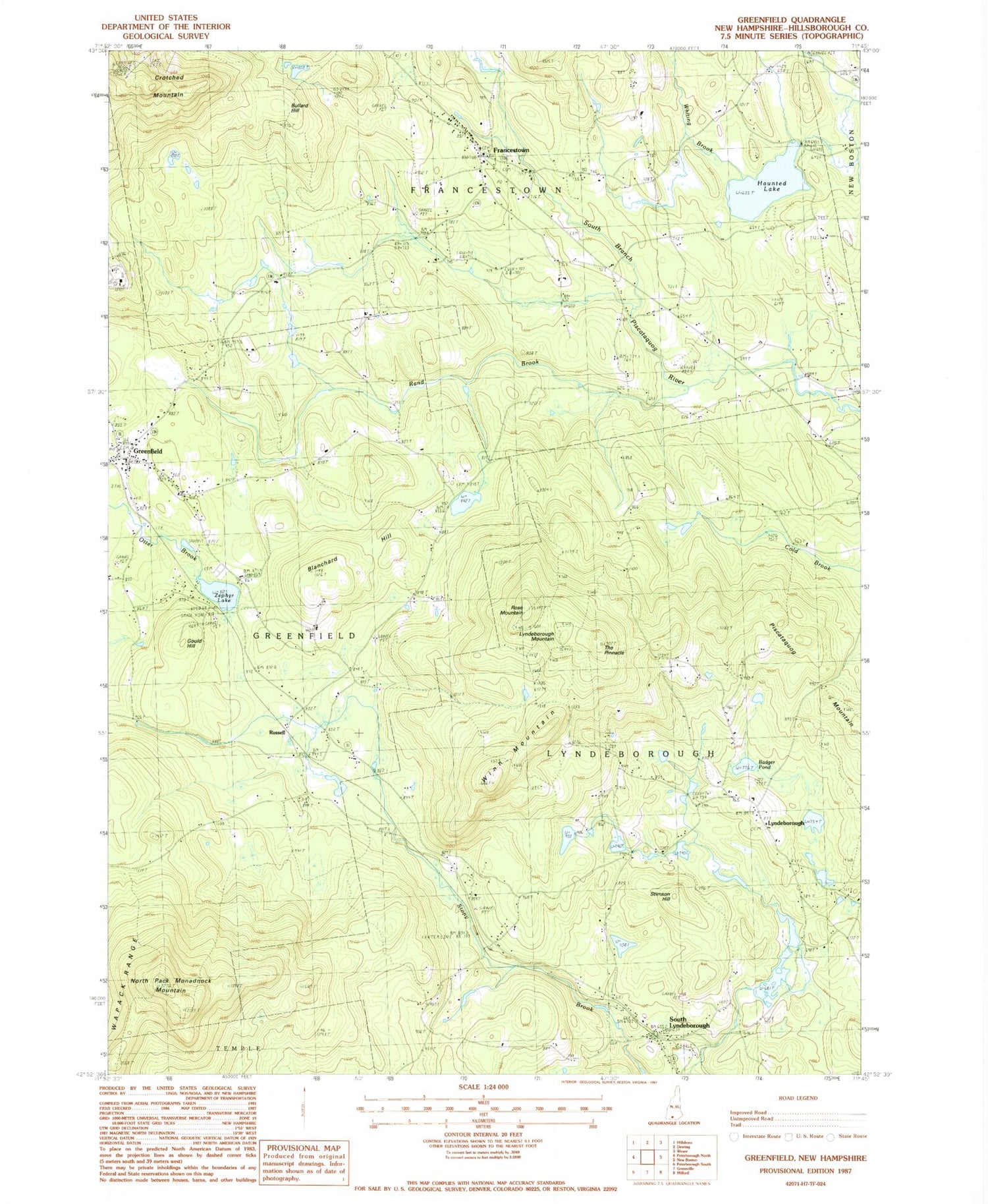
Historical USGS topographic quad map of Greenfield in the state of New Hampshire. Typical map scale is 1:24,000, but may vary for certain years, if available. Print size: 24" x 27"
This quadrangle is in the following counties: Hillsborough.
The map contains contour lines, roads, rivers, towns, and lakes. Printed on high-quality waterproof paper with UV fade-resistant inks, and shipped rolled.
Contains the following named places: Badger Pond, Blanchard Hill, Bullard Hill, Crotched Mountain, Francestown, Gould Hill, Greenfield, Greenvale Cemetery, Haunted Lake, Lyndeborough, Lyndeborough Mountain, North Lyndeborough Cemetery, North Pack Monadnock Mountain, Piscataquog Mountain, Rand Brook, Rose Mountain, South Lyndeborough, South Lyndeborough Cemetery, Stimson Hill, The Pinnacle, Whiting Brook, Winn Mountain, Zephyr Lake, Wapack National Wildlife Refuge, Russell, Town of Francestown, Town of Greenfield, Town of Lyndeborough, Swartz Pond Dam, Swartz Pond, Souhegan River Watershed Dam Number 28, Souhegan River Watershed Dam Number 8, Crotched Mountain Specialty Hospital, Crotched Mountain School, First Unitarian Church, Francestown Elementary School, Greenfield Post Office, Lyndeborough Center Historic District, Lyndeborough Central School, Old Meeting House (historical), South Lyndeboro Post Office (historical), Union Congregational Church, United Church of Lyndeborough, Francestown Post Office, Wonderworks Learning Center, Lyndeborough Fire Department, Francestown Volunteer Fire Department, Lyndeborough Police Department, Francestown Police Department, Greenfield Police Department, Whittemore Cemetery, Knight Cemetery, Old Cemetery, Francestown Census Designated Place