MyTopo
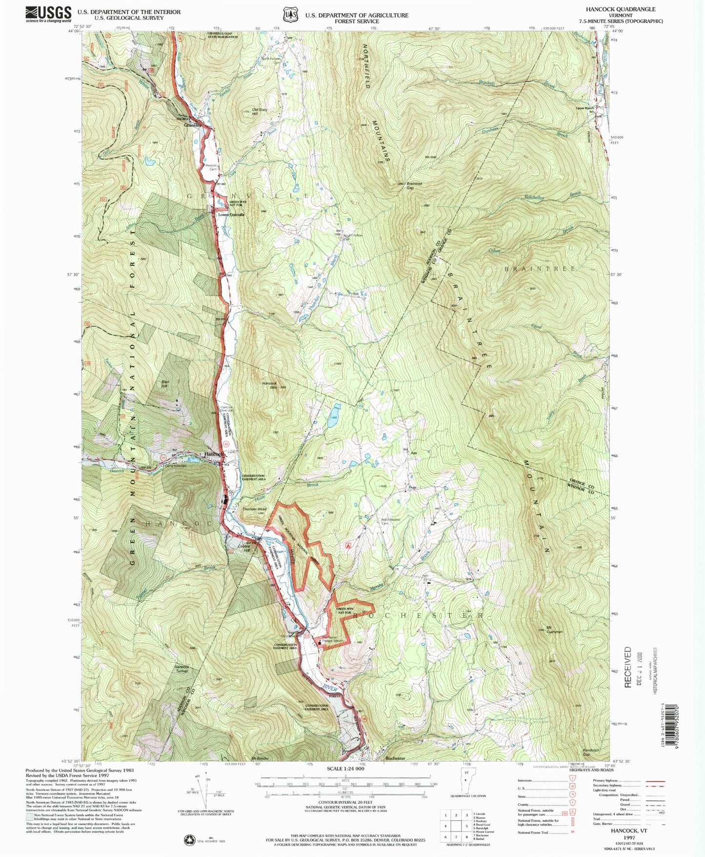
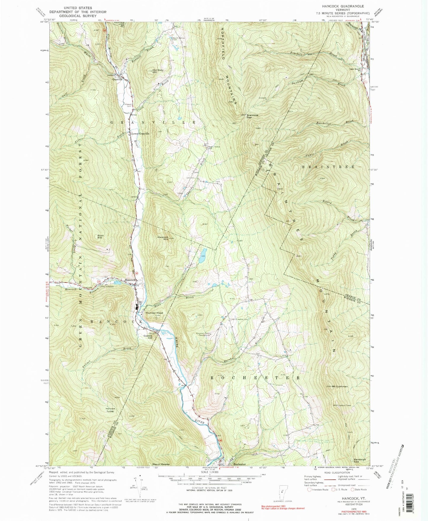
Classic USGS Hancock Vermont 7.5'x7.5' Topo Map
Couldn't load pickup availability
Historical USGS topographic quad map of Hancock in the state of Vermont. Typical map scale is 1:24,000, but may vary for certain years, if available. Print size: 24" x 27"
This quadrangle is in the following counties: Addison, Orange, Windsor.
The map contains contour lines, roads, rivers, towns, and lakes. Printed on high-quality waterproof paper with UV fade-resistant inks, and shipped rolled.
Contains the following named places: Alder Meadow Brook, Albee Brook, Batchelder Brook, Blair Hill, Braintree Gap, Braintree Mountain, Camp Killooleet, Clark Brook, Cobble Hill, Mount Cushman, Elmwood Cemetery, Granville, Gulf Brook, Hancock, Hancock Branch, Hancock Mountain, Hancock Tunnel, Howe Brook, Kendall Brook, Lower Granville, Marshs Brook, Mountain Trails Campground, North Hollow Cemetery, North Hollow Cemetery, Old Sixty Hill, Patterson Brook, Randolph Gap, South Hollow Cemetery, Thatcher Brook, Thunder Head, Tucker Brook, Tunnel Brook, Town of Rochester, Granville Post Office, Hancock Free Public Library, Hancock Post Office, Hancock Village School, Hubbard Cemetery, North Hollow School (historical), Old Village Cemetery, Village Cemetery, Mount Cushman State Park, North Hollow School, Old Village Cemetery, Rochester Volunteer Fire Department, Hancock Fire Station, Granville Volunteer Fire Department, Granville Village School, Valley Rescue Squad