MyTopo
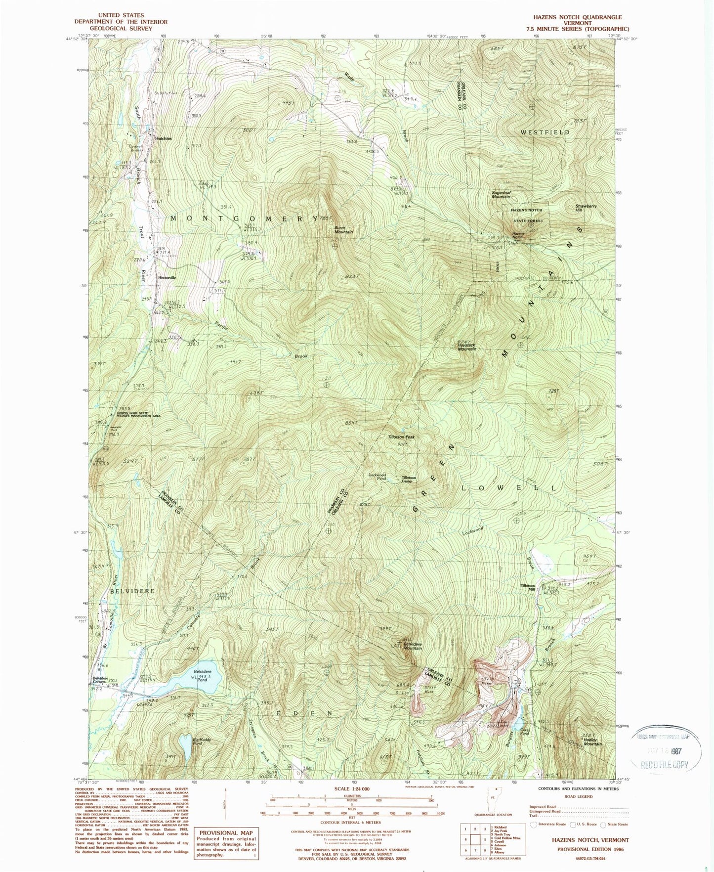
Classic USGS Hazens Notch Vermont 7.5'x7.5' Topo Map
Couldn't load pickup availability
Historical USGS topographic quad map of Hazens Notch in the state of Vermont. Typical map scale is 1:24,000, but may vary for certain years, if available. Print size: 24" x 27"
This quadrangle is in the following counties: Franklin, Lamoille, Orleans.
The map contains contour lines, roads, rivers, towns, and lakes. Printed on high-quality waterproof paper with UV fade-resistant inks, and shipped rolled.
Contains the following named places: Belvidere Mountain, Belyidere Corners, Belvidere Pond, Big Muddy Pond, Burnt Mountain, Calavale Brook, Corez Pond, Hadley Mountain, Haystack Mountain, Hazens Notch State Forest Park, Hectorville, Hutchins, Lockwood Brook, Pacific Brook, Strawberry Hill, Sugarloaf Mountain, Tamarack Brook, Tillotson Camp, Tillotson Peak, Tillotson Mill, Town of Montgomery, Burroughs Cemetery, Hazens Notch, Hazens Notch State Forest, Lockwood Pond, Averys Gore State Wildlife Management Area, Hectorville Covered Bridge, Hutchins Covered Bridge, Roegan Road Cemetery, Roegan Road Cemetery, Montgomery Free Library, Bayley Hazen Military Road Trail