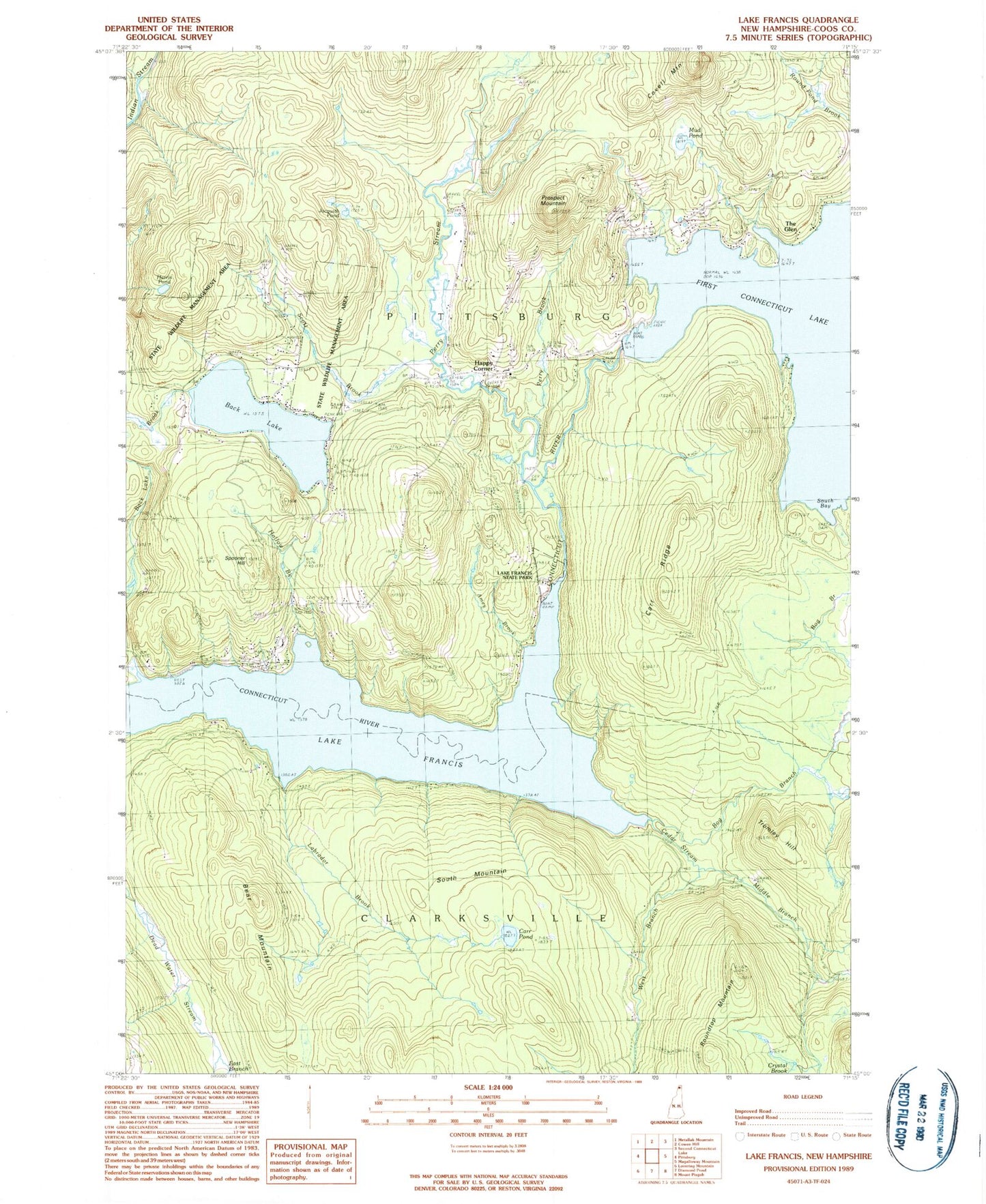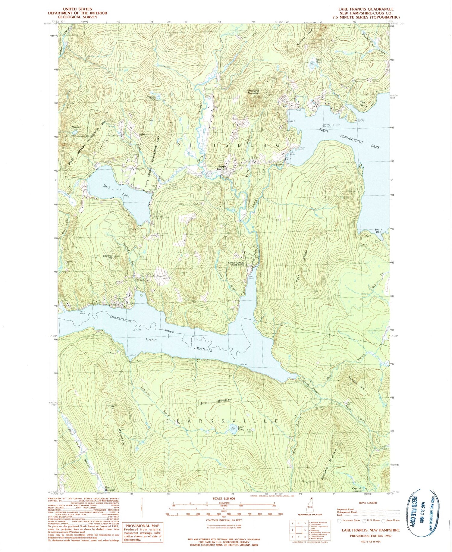
MyTopo
Classic USGS Lake Francis New Hampshire 7.5'x7.5' Topo Map
Couldn't load pickup availability
Historical USGS topographic quad map of Lake Francis in the state of New Hampshire. Typical map scale is 1:24,000, but may vary for certain years, if available. Print size: 24" x 27"
This quadrangle is in the following counties: Coos.
The map contains contour lines, roads, rivers, towns, and lakes. Printed on high-quality waterproof paper with UV fade-resistant inks, and shipped rolled.
Contains the following named places: Amey Brook, Bear Mountain, Bog Branch, Carr Pond, Carr Ridge, Covell Mountain, Crystal Brook, East Branch Dead Water Stream, Lake Francis, Happy Corner, Harris Pond, Hollow Brook, Jacquith Pond, Middle Branch Cedar Stream, Mud Pond, Perry Brook, Perry Stream, Prospect Mountain, Roby Brook, Roundtop Mountain, Scott Brook, South Mountain, Spooner Hill, The Glen, Varney Camp (historical), West Branch Cedar Stream, South Bay, Lake Francis State Park, Town of Clarksville, Cedar Stream, Currier Camp (historical), Harry Davis Camp (historical), Labrador Brook, Tromley Hill, First Connecticut Lake Dam, Back Lake Dam, Back Lake, Brown Company Lots State Wildlife Management Area, Gray Lot State Wildlife Management Area, Happy Corner Bridge, Lake Francis Wildlife Area, River Road Bridge