
MyTopo
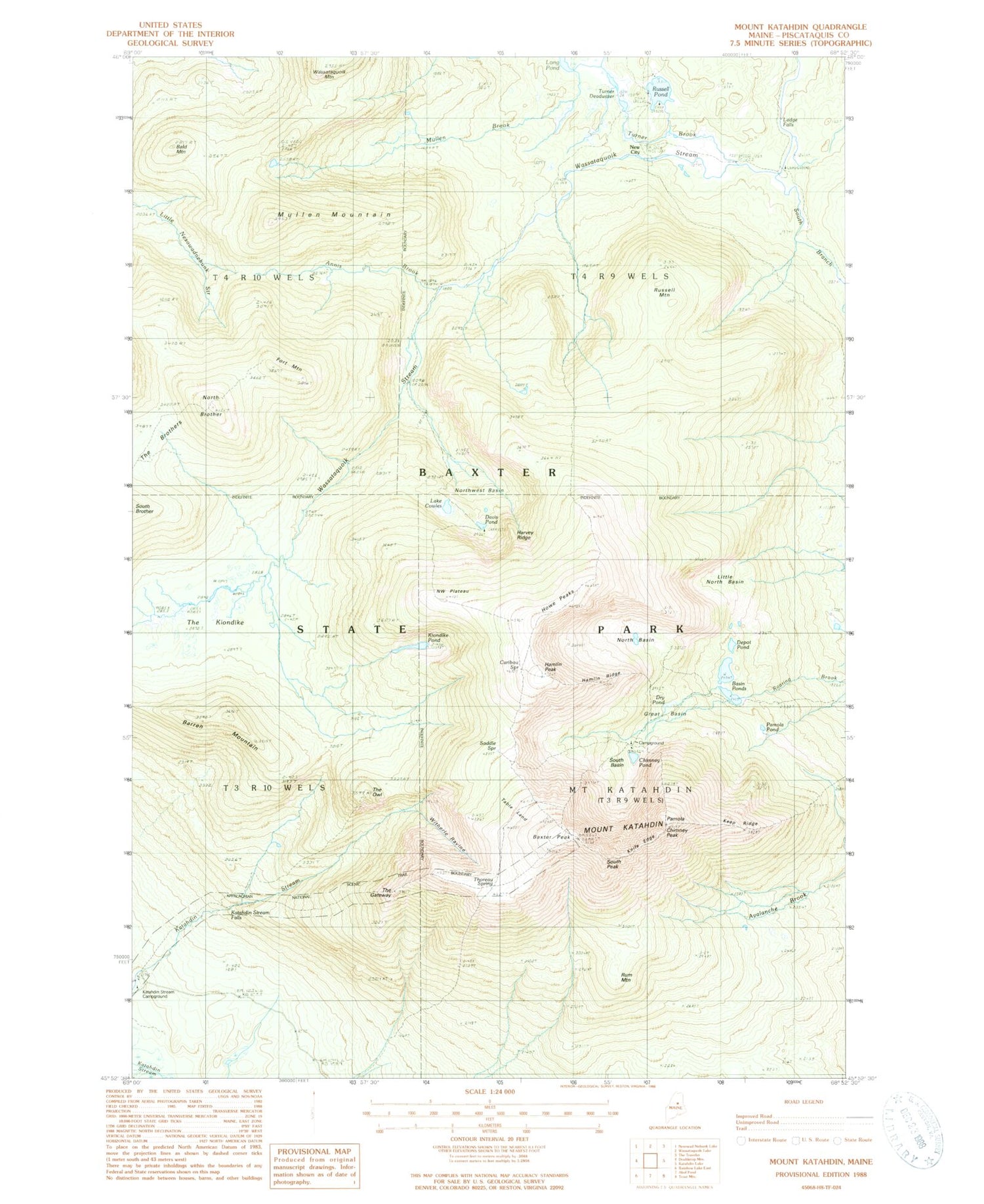
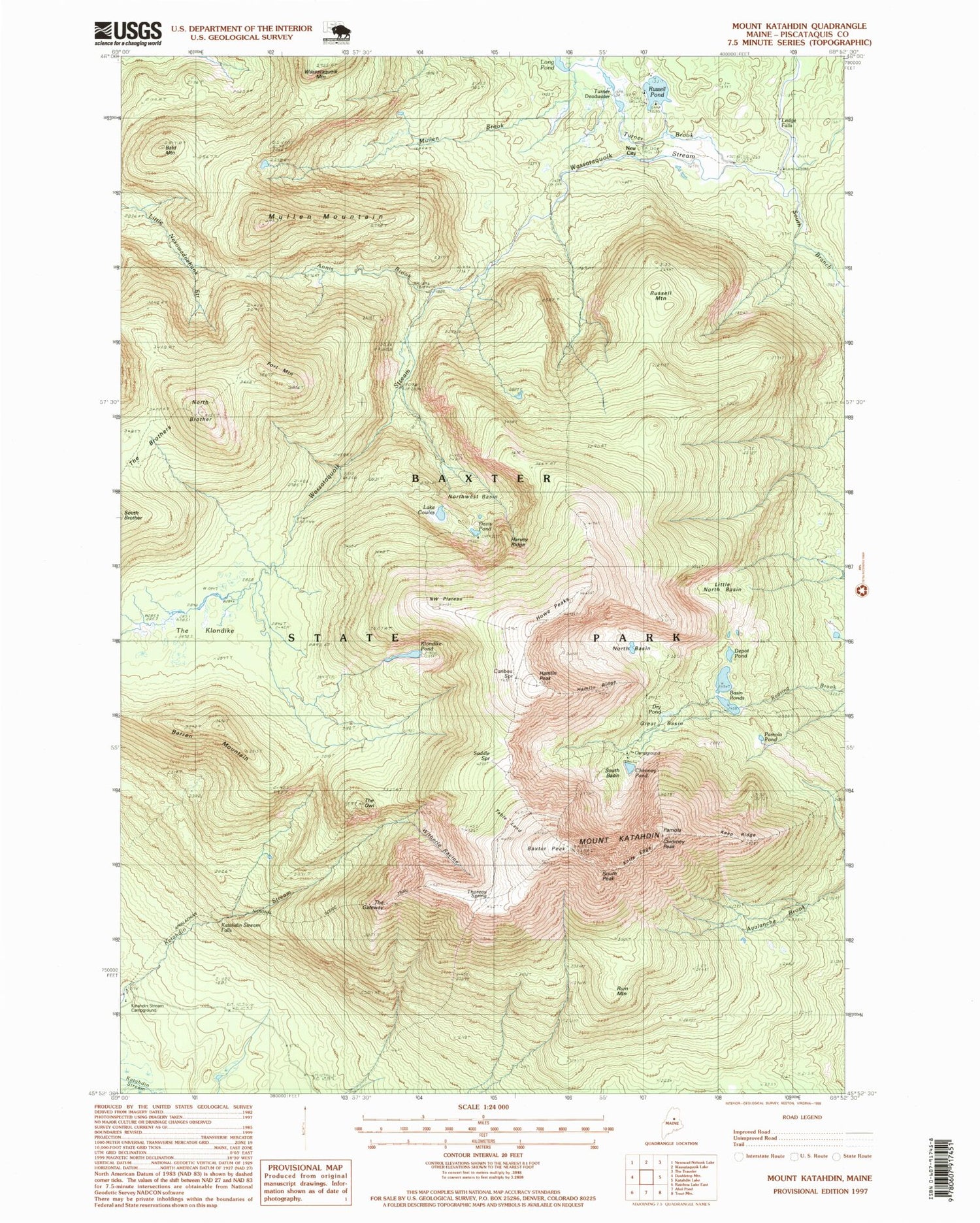
USGS Classic Mount Katahdin Maine 7.5'x7.5' Topo Map
Couldn't load pickup availability
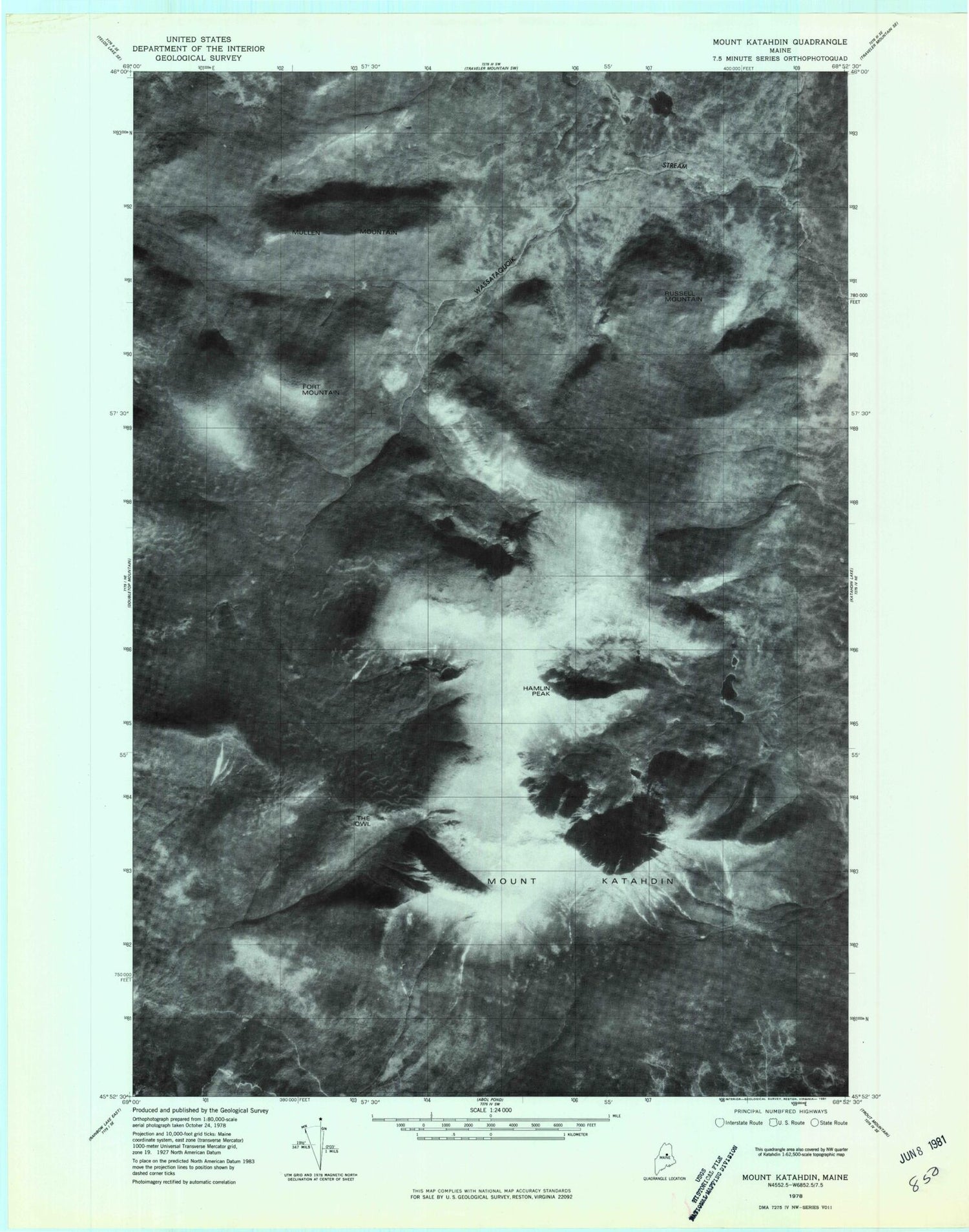
Historical USGS topographic quad map of Mount Katahdin in the state of Maine. Scale: 1:24000. Print size: 24" x 27"
This quadrangle is in the following counties: Piscataquis.
The map contains contour lines, roads, rivers, towns, lakes, and grids including latitude / longitude and UTM / MGRS. Printed on high-quality waterproof paper with UV fade-resistant inks.
Contains the following named places: Abol Trail, Annis Brook, Bald Mountain, Barren Mountain, Baxter Game Preserve, Baxter Peak, Caribou Spring, Cathedral Trail, Chimney Peak, Chimney Pond Campground, Chimney Pond Trail, Chimney Pond, Lake Cowles, Davis Pond, Depot Pond, Dry Pond, Dudley Trail, Fort Mountain, Great Basin, Hamlin Peak, Hamlin Ridge, Harvey Ridge, Howe, Howe Peaks, Katahdin Stream Campground, Keep Ridge, Klondike Pond, Knife Edge, Ledge Falls, Little North Basin, Mullen Brook, Mullen Mountain, North Basin, North Brother, Northwest Basin, Northwest Basin Trail, Pamola, Pamola Pond, Rum Mountain, Russell Mountain, Russell Pond, Saddle Spring, Saddle Trail, South Basin, South Branch Trail, South Branch Wassataquoik Stream, Table Land, The Brothers, Hunts Peak, The Klondike, The Owl, Thoreau Spring, Turner Brook, Turner Deadwater, Wassataquoik Mountain, Witherle Ravine, York Valley, Katahdin Falls, New City, Mount Katahdin, South Peak, Abot Trail, Abol Trail, Katahdin Stream Falls, Mount Katahdin Township, T4 R9 WELS


