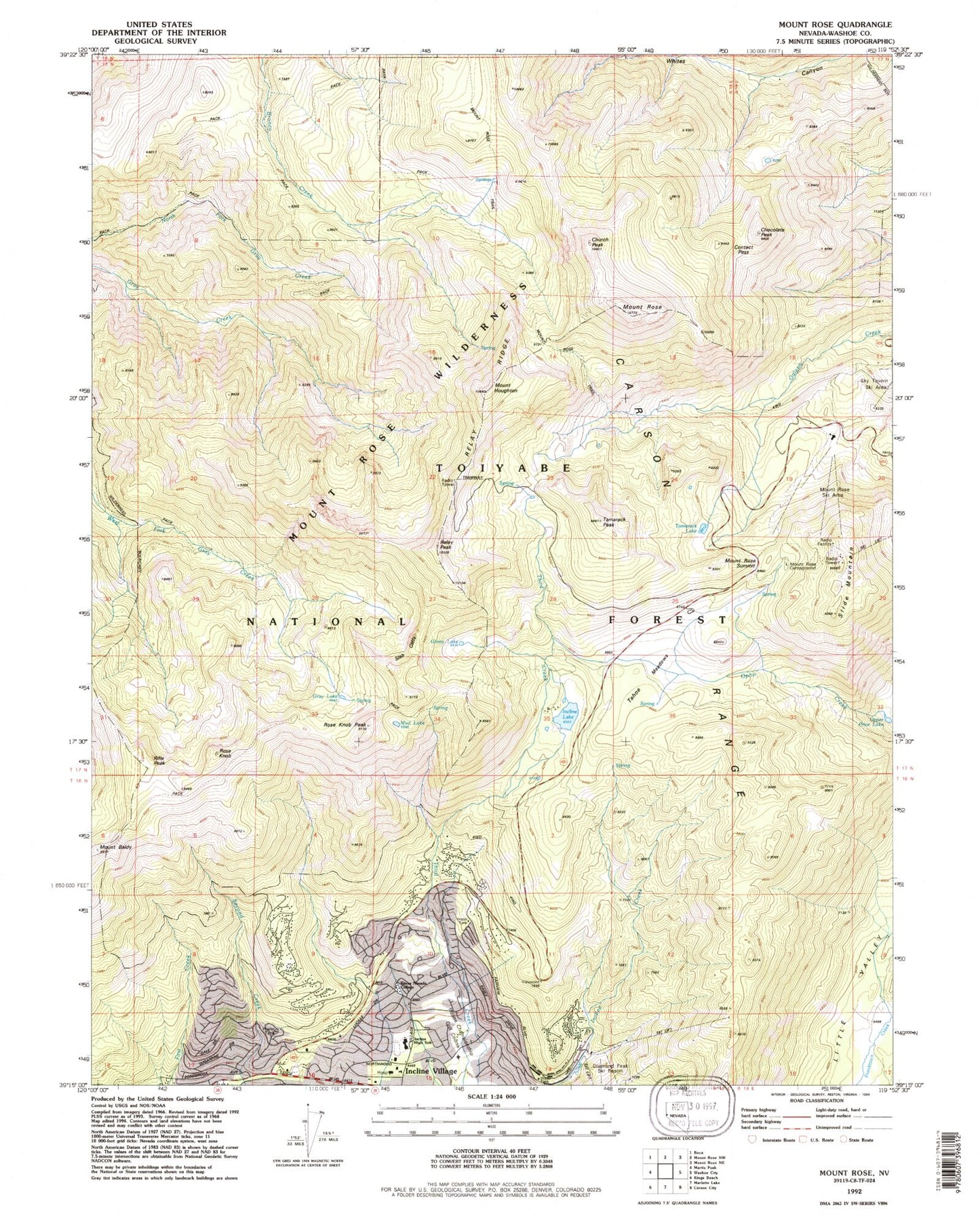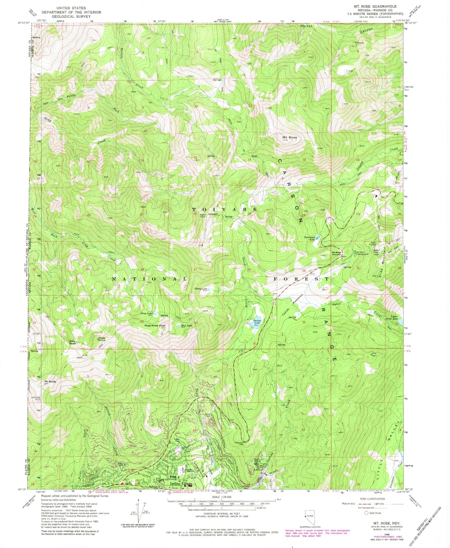

MyTopo
USGS Classic Mount Rose Nevada 7.5'x7.5' Topo Map
Couldn't load pickup availability
Historical USGS topographic quad map of Mount Rosein the states of Nevada, California. Scale: 1:24000. Print size: 24" x 27"
This quadrangle is in the following counties: Washoe.
The map contains contour lines, roads, rivers, towns, lakes, and grids including latitude / longitude and UTM / MGRS. Printed on high-quality waterproof paper with UV fade-resistant inks.
Contains the following named places: Mount Rose Highway Maintenance Station, Sierra Nevada College, Mount Rose Relay Station, Tyrolian Village, Preston Field, Incline Village Shopping Center, Whittell Forest and Wildlife Management Area, Carson Range, Ginny Lake, Gray Lake, Incline Golf Course, Incline High School, Incline Lake, Incline Village, Mount Rose Campground, Mount Rose Summit, Mount Rose Trail, Mud Lake, Rifle Peak, Rose Knob, Rose Knob Peak, Mount Rose, Slide Mountain, Tahoe Meadows, Tamarack Lake, Upper Price Lake, Chocolate Peak, Contact Pass, Mount Houghton, Tamarack Peak, Church Peak, Relay Peak, Relay Ridge, Slab Cliffs, Incline Lake Dam, Incline Ski Area, Folsom Camp, Mount Rose Ski Area, Tahoe Meadows Snowplay Area, KZAK-FM (Incline Village), KRNO-FM (Reno), KIIQ-FM (Reno), KREN-TV (Reno), KOLO-TV (Reno), Incline Village Community Hospital, North Lake Tahoe Fire Protection District Station 13, Incline Village Census Designated Place, Washoe County Sheriff's Office - Incline Village Substation, Carson Range