MyTopo
Classic USGS Sunapee Lake South New Hampshire 7.5'x7.5' Topo Map
Couldn't load pickup availability
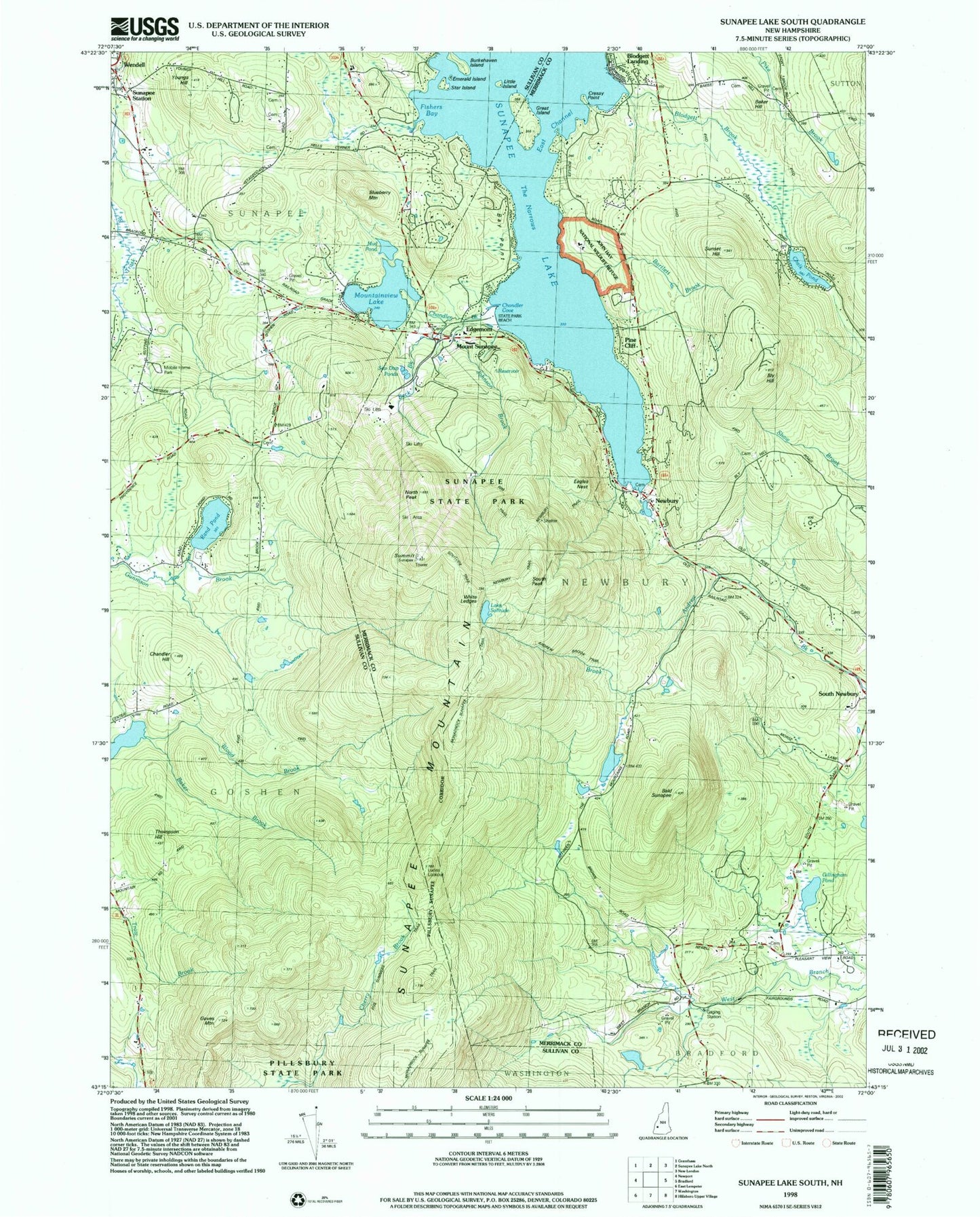
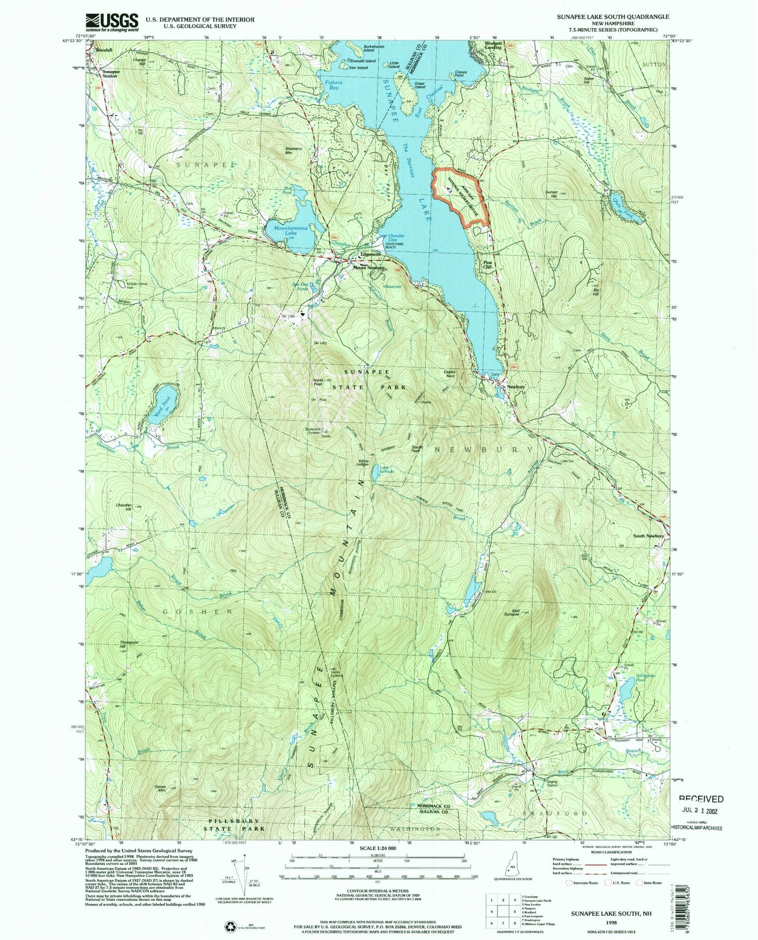
Historical USGS topographic quad map of Sunapee Lake South in the state of New Hampshire. Typical map scale is 1:24,000, but may vary for certain years, if available. Print size: 24" x 27"
This quadrangle is in the following counties: Merrimack, Sullivan.
The map contains contour lines, roads, rivers, towns, and lakes. Printed on high-quality waterproof paper with UV fade-resistant inks, and shipped rolled.
Contains the following named places: Baker Hill, Bald Sunapee, Bay Point, Bear Hill, Blodgett Landing, Blueberry Mountain, Bly Hill, Box Corner, Burkehaven Island, Chalk Pond, Chandler Hill, East Channel, Cressey Point, Edgemont, Emerald Island, Fishers Bay, Gillingham Pond, Goves Mountain, Great Island, Johnson Brook, Little Island, Mount Sunapee, Mount Sunapee State Park, Mountainview Lake, Mud Pond, Newbury, North Peak, Pine Cliff, Rand Pond, Lake Solitude, South Peak, Star Island, State Park Beach, Summit, Sunapee Mountain, Sunapee Station, Sunset Hill, The Narrows, Thompson Hill, Youngs Hill, Town of Goshen, Town of Newbury, Center Meeting House, Healing Springs Church, Newbury Post Office, Camp Soangetaha, Dexters Nordic Ski Center, Lucias Lookout, Baker Brook, Blodgett Brook, John Hay National Wildlife Refuge, Chandler Brook, Eagles Nest, Newbury Fire and Rescue Department, Newbury Fire Department Blodgett Landing Substation, Newbury Police Department, South Cemetery