MyTopo
USGS Classic Umbagog Lake North New Hampshire 7.5'x7.5' Topo Map
Couldn't load pickup availability
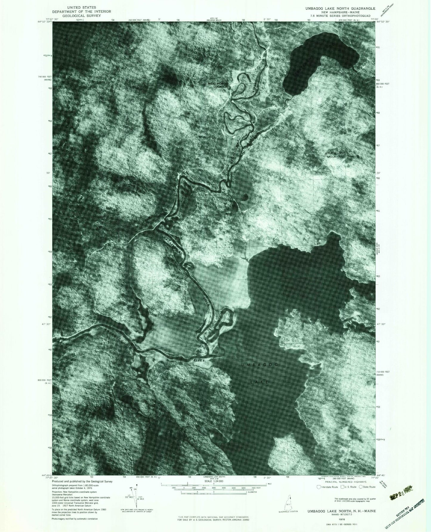
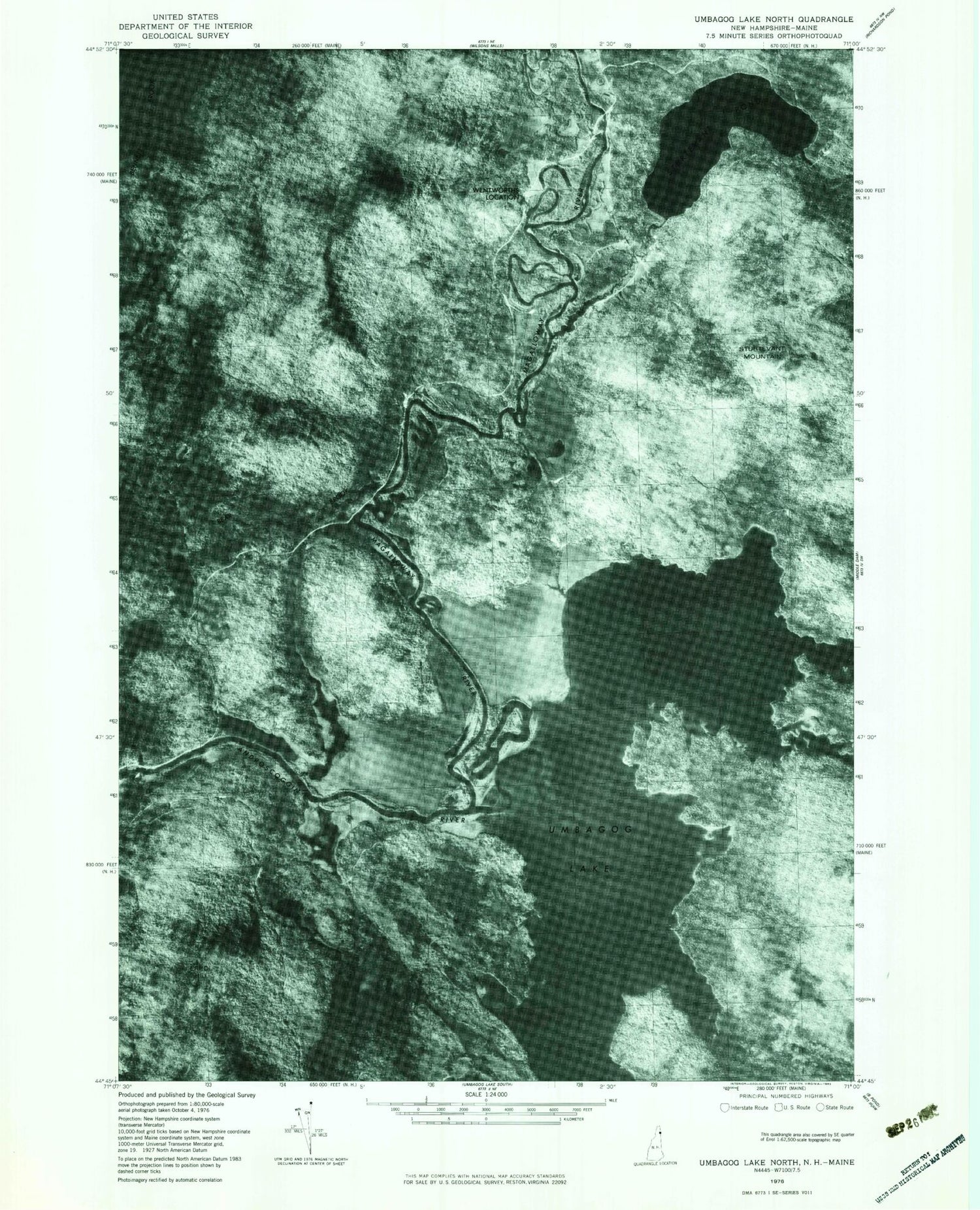
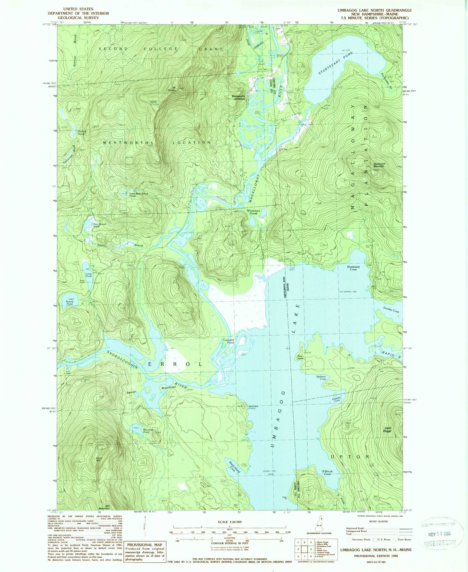
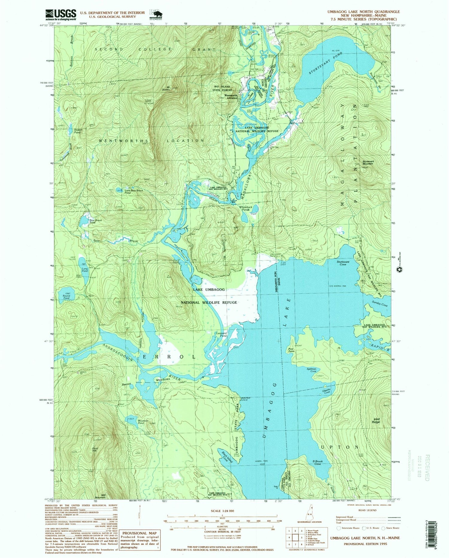
Historical USGS topographic quad map of Umbagog Lake Northin the states of New Hampshire, Maine. Scale: 1:24000. Print size: 24" x 27"
This quadrangle is in the following counties: Coos, Oxford.
The map contains contour lines, roads, rivers, towns, lakes, and grids including latitude / longitude and UTM / MGRS. Printed on high-quality waterproof paper with UV fade-resistant inks.
Contains the following named places: Magalloway River, Sturtevant Stream, Bear Brook, Bear Brook Pond, Black Island Cove, Dustan Pond, Mount Dustan, Errol Dam, Errol Hill, Leonard Pond, Little Bear Brook Pond, Long Pond, Mountain Pond, Pininsula Molls Rock, Round Pond Lake, Sweat Meadows, Tyler Point, Umbagog Lake, Wentworth Location, Whaleback Pond, Lake Umbagog National Wildlife Refuge, Umbagog National Wildlife Refuge, B Brook, B Brook Cove, Glassby Cove, Magalloway River, Magalloway School, Pine Point, Rapid River, Spillman Cove, Sturtevant Cove, Sturtevant Mountain, Sturtevant Pond, Sturtevant Stream, Sunday Cove, Umbagog Lake, Lake Umbagog National Wildlife Refuge, Umbagog National Wildlife Refuge, Magalloway Church Cemetery