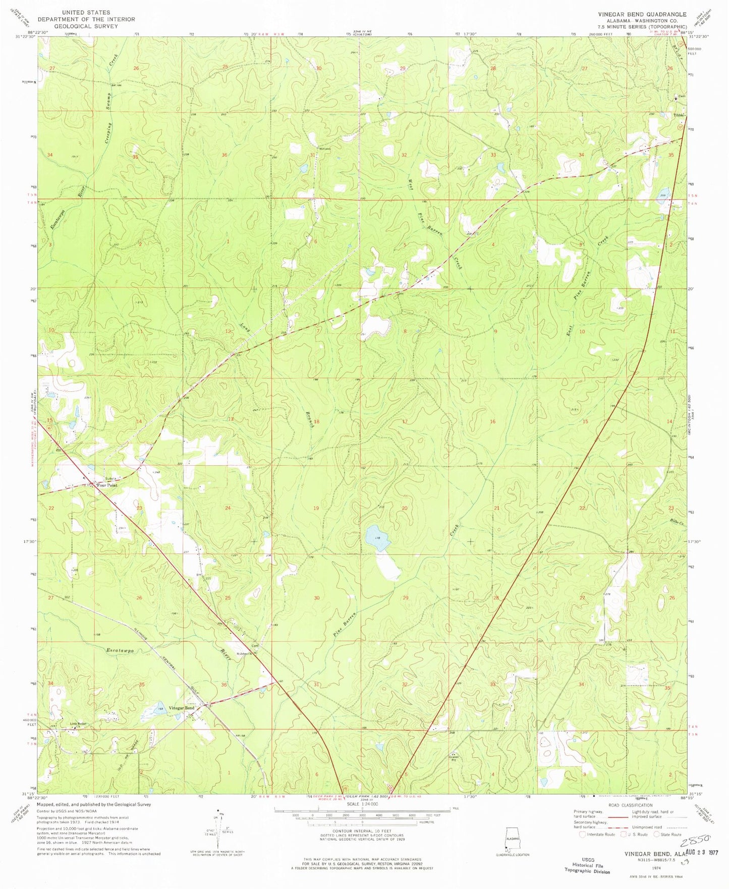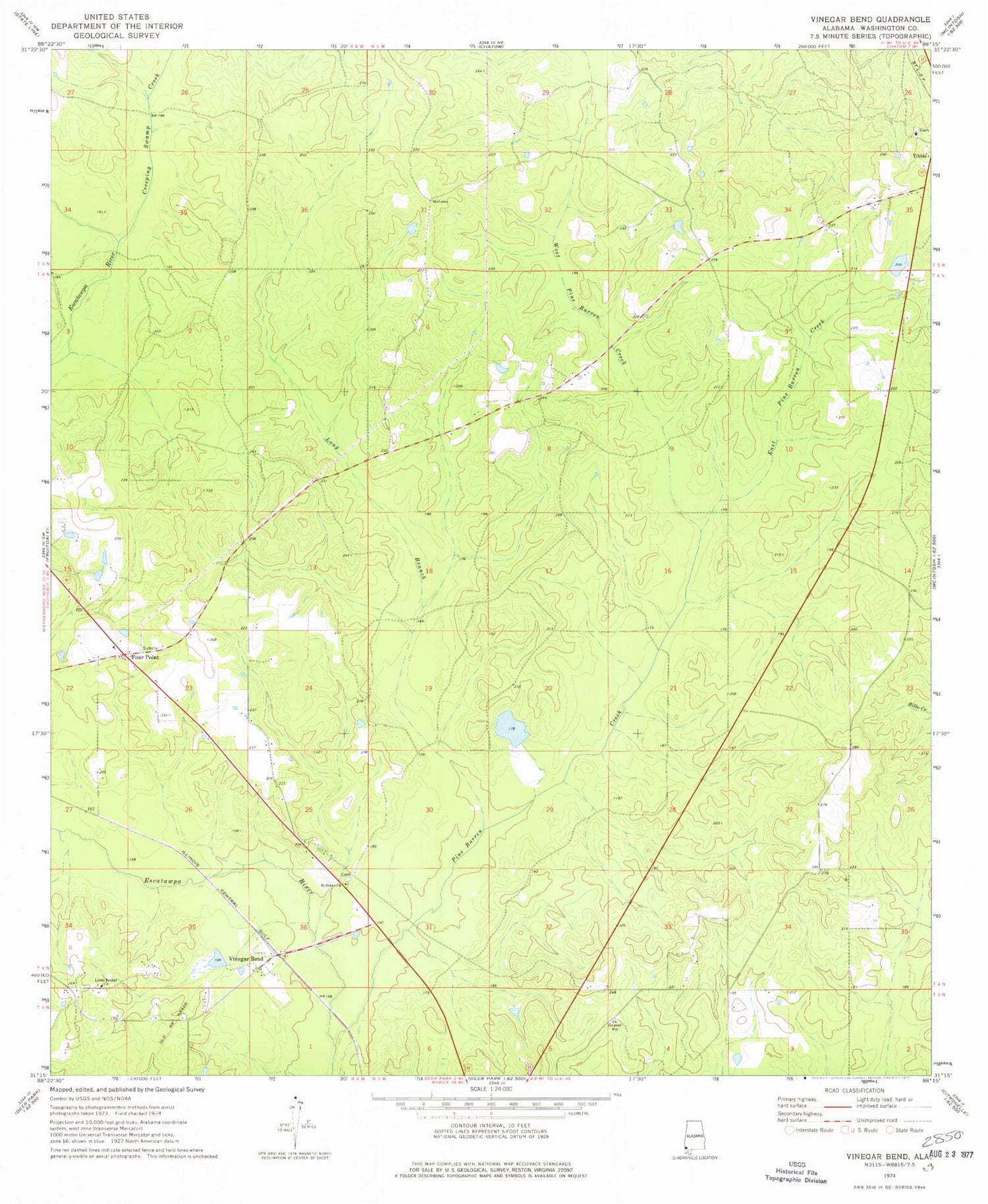
MyTopo
Classic USGS Vinegar Bend Alabama 7.5'x7.5' Topo Map
Couldn't load pickup availability
Historical USGS topographic quad map of Vinegar Bend in the state of Alabama. Map scale may vary for some years, but is generally around 1:24,000. Print size is approximately 24" x 27"
This quadrangle is in the following counties: Washington.
The map contains contour lines, roads, rivers, towns, and lakes. Printed on high-quality waterproof paper with UV fade-resistant inks, and shipped rolled.
Contains the following named places: Booker T Washington High School, Creeping Swamp Creek, D R Stallworth Dam, D R Stallworth Pond, East Pine Barren Creek, Four Point, Four Points Baptist Church, Four Points Cemetery, Fruitdale Division, Little Bethel Baptist Church, Long Branch, Parnell Dam, Parnells Pond, Pine Barren Creek, Pine Branch, Quovadis, Saint Johns Church, Stallworth Dam, Stallworth Lake, Tibbie Baptist Church, Tibbie Cemetery, Vinegar Bend, Vinegar Bend Census Designated Place, Vinegar Bend Post Office, West Pine Barren Creek