MyTopo
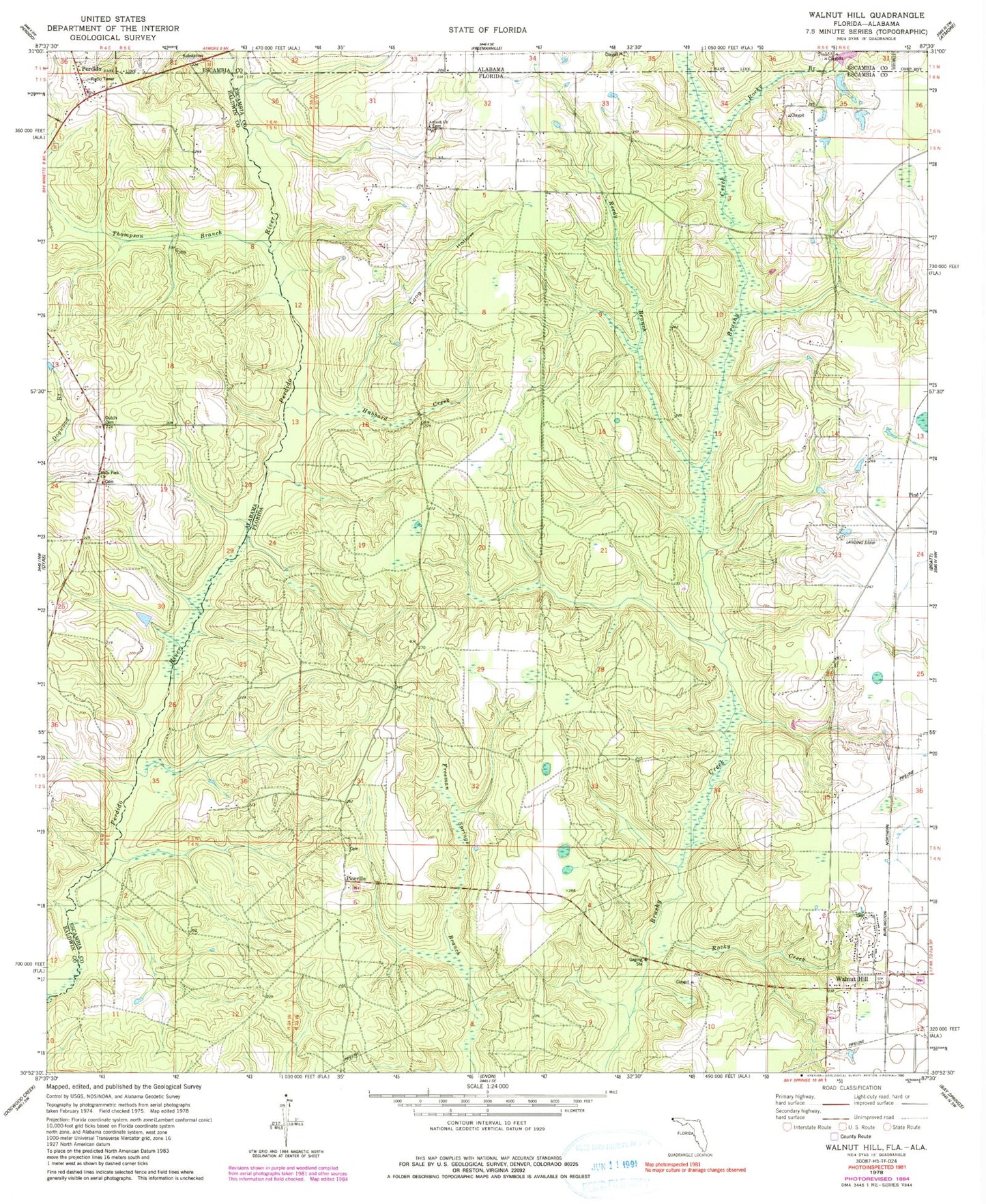
Classic USGS Walnut Hill Florida 7.5'x7.5' Topo Map
Couldn't load pickup availability
Historical USGS topographic quad map of Walnut Hill in the states of Florida, Alabama. Map scale may vary for some years, but is generally around 1:24,000. Print size is approximately 24" x 27"
This quadrangle is in the following counties: Baldwin, Escambia.
The map contains contour lines, roads, rivers, towns, and lakes. Printed on high-quality waterproof paper with UV fade-resistant inks, and shipped rolled.
Contains the following named places: Antioch Church, Dutch Cemetery, Halls Fork Cemetery, Halls Fork Church, Halls Fork School, Hubbard Creek, Long Hollow, Nakomis School, Pineville, Ramsey's Mobile Home Park, Reedy Branch, Rocky Branch, Rocky Creek, Thompson Branch, Walnut Hill, Walnut Hill Lookout Tower