
MyTopo
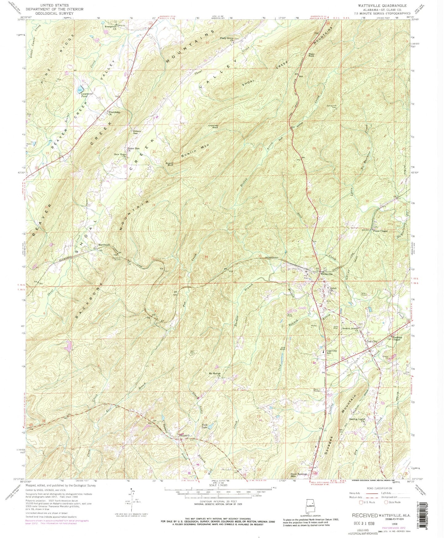
Classic USGS Wattsville Alabama 7.5'x7.5' Topo Map
Couldn't load pickup availability
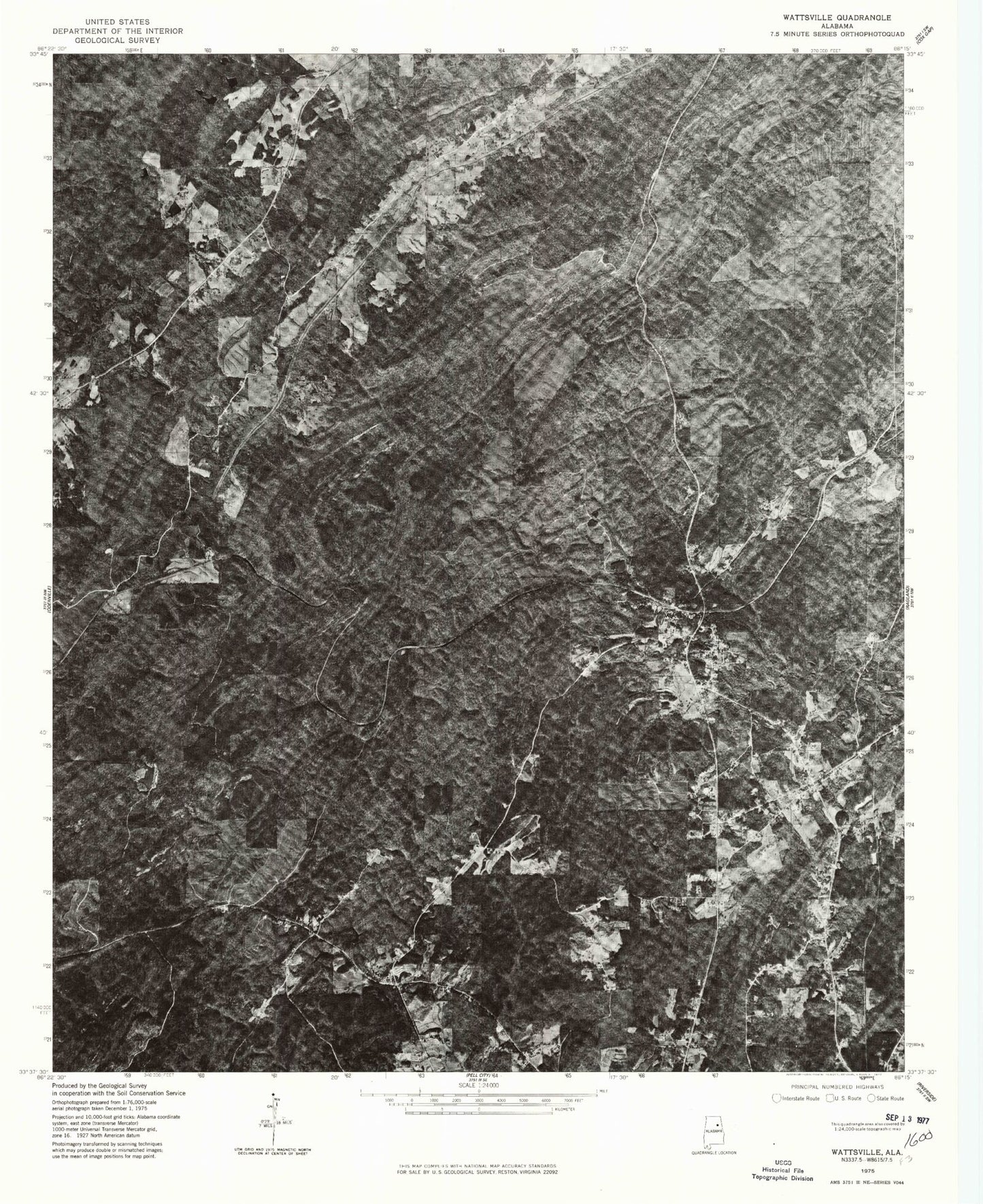
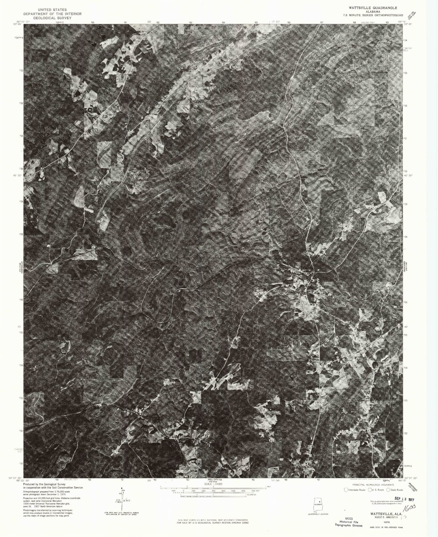
Historical USGS topographic quad map of Wattsville in the state of Alabama. Typical map scale is 1:24,000, but may vary for certain years, if available. Print size: 24" x 27"
This quadrangle is in the following counties: St. Clair.
The map contains contour lines, roads, rivers, towns, and lakes. Printed on high-quality waterproof paper with UV fade-resistant inks, and shipped rolled.
Contains the following named places: Backbone Mountain, Baker Zion Church, Black Ankle Branch, Bowlin Bluff, Bowlin Mountain, Broken Arrow Church, Chimney Rock, Coal City, Coal City School, Cold Branch, Evergreen Church, Fox Creek, Friendship Church, Guiding Light Church, Gulf Hollow, Hardwick, Hardwick Tunnel, Harkeys Chapel United Methodist Church, Karr Branch, Karr Cemetery, Laymans Pond, Little No Business Creek, Moon Rock, Mount Moriah Church, New Hope Church, Piney Grove Church, Popes Chapel First Congregational Methodist Church, Sand Branch, Shiloh Church, Spring Hill Cemetery, Suck Creek, Tabb Lake, Tanyard, Tanyard Branch, Thomas Branch, Watson Gap, Wattsville, Watkins Lake, Watkins Dam, Saint Clair County, Brewer Slope Mine, Coal (historical), Mount Calvary Church, New Harmony Church (historical), Saint Clair Memorial Gardens, Savages Crossing, Truitt School (historical), Wattsville Church, Wrights School (historical), Beaver Valley (historical), Wattsville Post Office, Beaver Valley Post Office (historical), Popes Chapel Cemetery, Harkeys Chapel Cemetery, Broken Arrow Cemetery, Friendship Volunteer Fire Department, Wattsville Volunteer Fire Department