MyTopo
Classic USGS Weogufka Alabama 7.5'x7.5' Topo Map
Couldn't load pickup availability
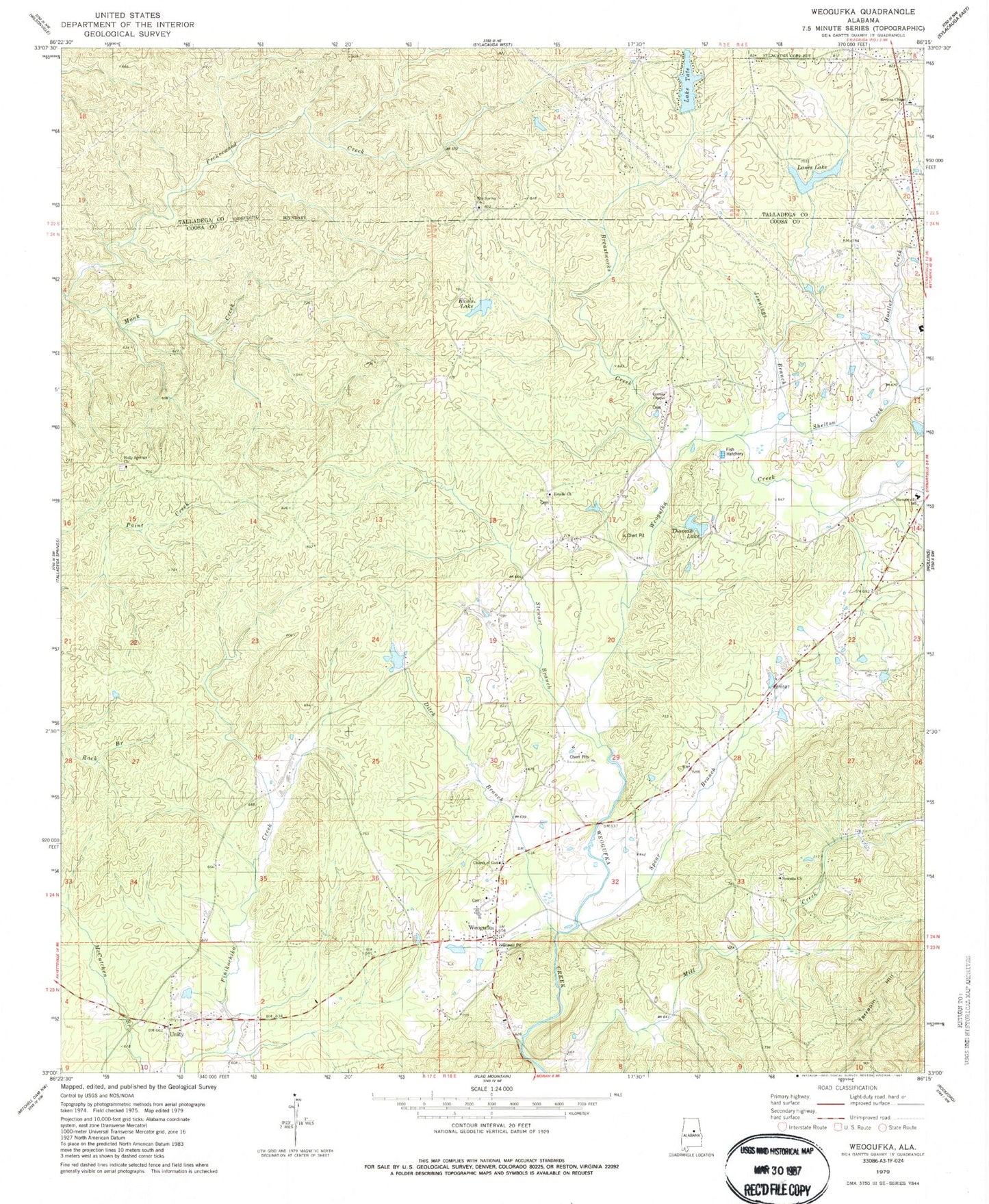
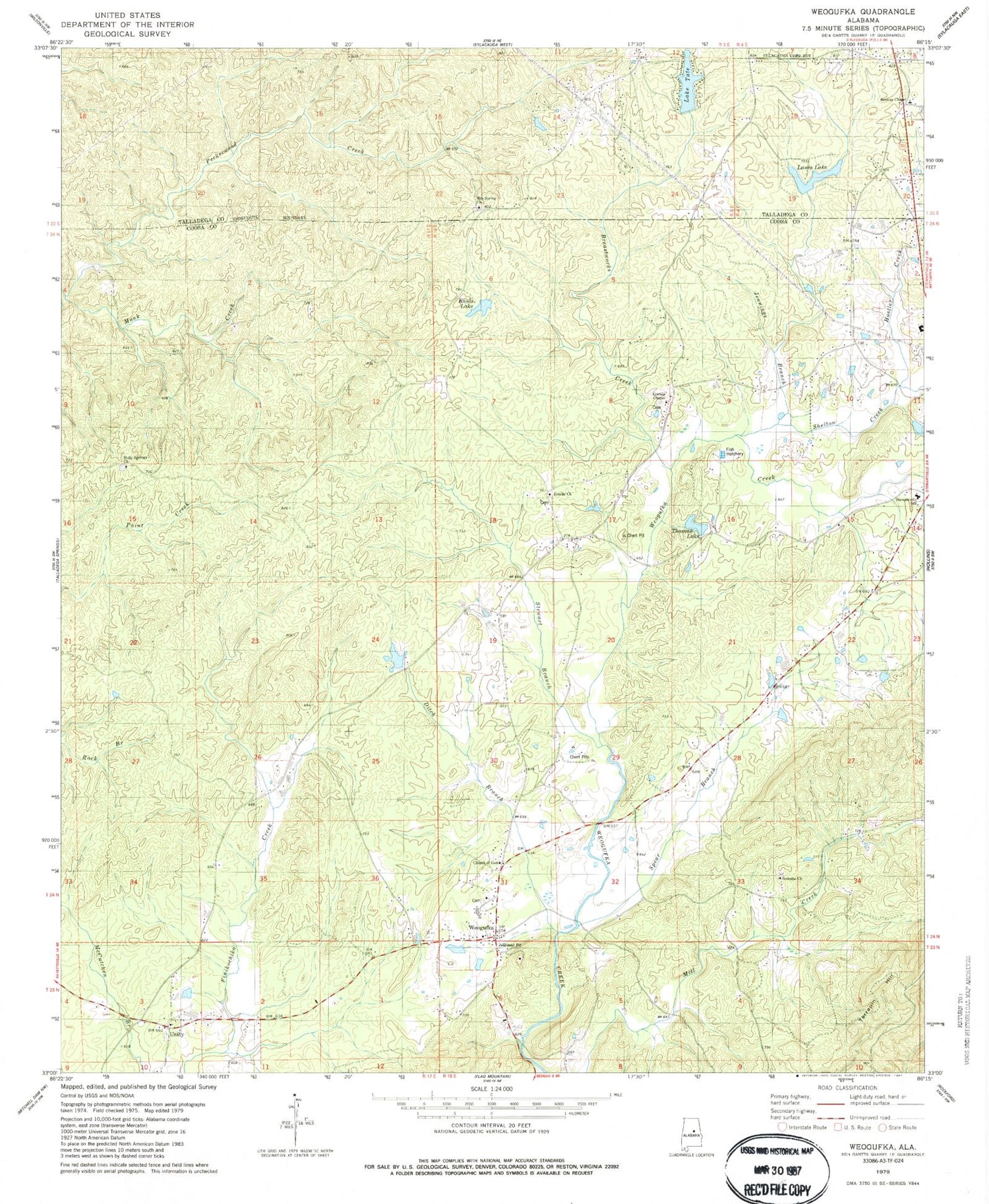
Historical USGS topographic quad map of Weogufka in the state of Alabama. Map scale may vary for some years, but is generally around 1:24,000. Print size is approximately 24" x 27"
This quadrangle is in the following counties: Coosa, Talladega.
The map contains contour lines, roads, rivers, towns, and lakes. Printed on high-quality waterproof paper with UV fade-resistant inks, and shipped rolled.
Contains the following named places: A W Rayfield Dam, Baxley Branch, Baxley Mountain, Bazemore Crossroad, Breastworks Creek, Browns Chapel, Church of God, County Line Volunteer Fire Department, Cullen Thomas Dam, Ditch Branch, Estelle Church, Estelle School, Grimes Chapel, Grimes Chapel Cemetery, H Kaul Dam, Holly Springs Baptist Church, Hostler Creek, Jennings Branch, Juniata, Juniata Post Office, Kauls Lake, Kaupps Mill, Lake Tate, Lane Dam, Lanes Lake, Lumberton, Lumberton Post Office, Monk Creek, Mountain Spring Church, New Site Baptist Church Cemetery, Newsite Church, Saint Clair County Courthouse, Shelton Creek, Spear Branch, Stewart Branch, Stewarts Cemetery, Stewartville Census Designated Place, Stewartville Volunteer Fire Department, Tallacoosa, Tallacoosa School, Tate Dam, Thomas Lake, Unity, Unity Cemetery, Unity Presbyterian Church, Weogufka, Weogufka Census Designated Place, Weogufka High School, Weogufka Post Office, Weogufka Volunteer Fire Department, Weogufka-Marble Valley Division, West Coosa Elementary School, ZIP Code: 35183