
MyTopo
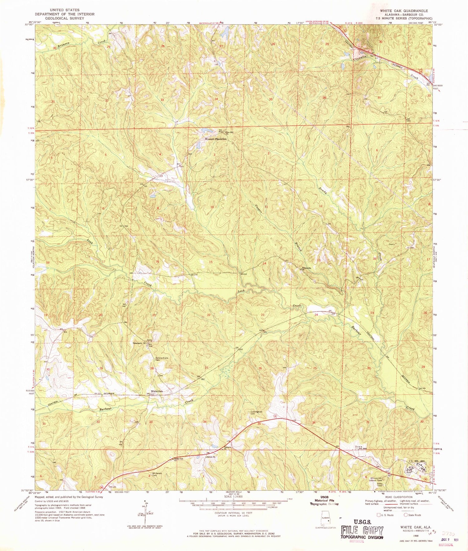
Classic USGS White Oak Alabama 7.5'x7.5' Topo Map
Couldn't load pickup availability
Historical USGS topographic quad map of White Oak in the state of Alabama. Map scale may vary for some years, but is generally around 1:24,000. Print size is approximately 24" x 27"
This quadrangle is in the following counties: Barbour.
The map contains contour lines, roads, rivers, towns, and lakes. Printed on high-quality waterproof paper with UV fade-resistant inks, and shipped rolled.
Contains the following named places: Academy Cemetery, Beauchamp Family Cemetery, Bethlehem Church, Claytons Pond, Cooper Branch, Cunningham Cemetery, Dowdy Creek, Eufaula Air Force Station, Gilmore Hill Lookout Tower, Knowlton, Leak Creek, Mount Hope Church, Mount Serene Cemetery, Palmyra Church, Perkins Evans Cemetery, Shiloh Church, Smithville Church, Tabernacle, Tabernacle Church, White Oak, White Oak Chapel, White Oak Church, Wilsonville Church, Wyecott Lake, Wyecott Lake Dam, Wyecott Plantation, Zion Chapel, Zion Hill Church


