MyTopo
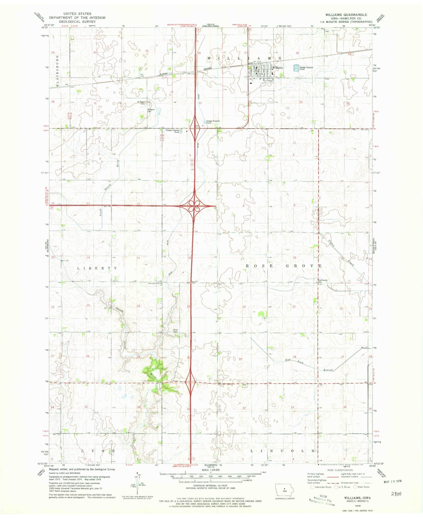
Classic USGS Williams Iowa 7.5'x7.5' Topo Map
Couldn't load pickup availability
Historical USGS topographic quad map of Williams in the state of Iowa. Map scale may vary for some years, but is generally around 1:24,000. Print size is approximately 24" x 27"
This quadrangle is in the following counties: Hamilton.
The map contains contour lines, roads, rivers, towns, and lakes. Printed on high-quality waterproof paper with UV fade-resistant inks, and shipped rolled.
Contains the following named places: City of Williams, Coyote Bend Area, Ditch Number 64, Ellis United Methodist Church, Rose Grove Cemetery, Rose Grove Church, Rose Grove Post Office, Saint Mary's Catholic Church, Saint Marys Cemetery, Saint Paul's Lutheran Church, Township of Rose Grove, Williams, Williams Cemetery, Williams Community Fire and Rescue, Williams Municipal Building, Williams Post Office, Williams Public Library, ZIP Code: 50271